18. GTAM - Stage 18: Rochetta Nervina - Torri
Description
From the entrance to the village, take the path towards Colle delli abelli. The climb is quite steep across the scrubland and passes close to the agritourism accommodation area. Head uphill until you reach a path (640m). Go along it to your right for around 500m. On a hairpin bend, a wide path heads away to the left. Direction sign. It will quickly bring you to Col des Deux Abeilles. A second sign shows the way onto the downhill path on the other slope towards Airole. Continue along the red and white itinerary, initially quite steeply and then more gradually as you move along the ridge. *Crossing the Rio della Gatta will allow you to reach the other slope.
*This zone cannot be crossed when during flood conditions or when there are heavy rains. In this case, to reach Airole, you will need to stay on the Alta Via des Monts Ligures track following the direction for “La Croix de Sapelea” (altitude 835m). Turn left on the downhill section to reach the way towards “Case Faceo” Case Sorvan (altitude 633m). Stay on the AsF1.3.6. path to reach Airole.
After heading across the mountain slope, the path then rises, heading around a rockslide zone, where you will need to be careful.
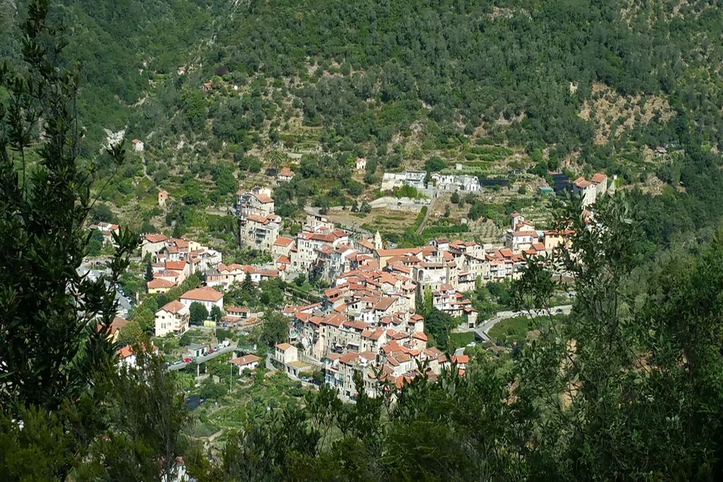
The itinerary continues downhill through the olive groves and reaches the entrance to the village of Airole. Go down the stairways and you will reach the main square. Head left behind the fountain and take the main road which goes past the war monument and continues on the right, still downhill. After around 200m, turn left onto the Via Biancheri which goes over the railway station and reaches the bottom of the village. Take a shortcut still following Ligurian path with red/white markers then turn right onto the small road to Collabassa.
Having crossed the bridge over the Roya, the start of the path is on the right, with a directional sign for Collabassa-Torri.
The path rises above the Roya. Be careful: in places it is narrow and airy before you reach the junction and Col de Pagliura, 286m. Turn left towards Collabassa 20 minutes’ walk. Go through the hamlet, following a concrete road for a few metres; the itinerary has markers with a yellow rectangle. At the first intersection, there is a sign for Torri Sentier Balcone. At the second intersection, continue along the track towards Torri, which is clearly indicated. Before you reach a private property, the path turns right and goes downhill via a series of hairpin bends between private properties and reaches the bottom of the valley. As you approach the village on a landscaped path, cross the bridge over the Bevera and reach the central square in front of the church.- Departure : Rochetta Nervina
- Arrival : Torri
- Towns crossed : Rocchetta Nervina, Dolceacqua, Airole, and Ventimiglia
Altimetric profile
Report a problem or an error
If you have found an error on this page or if you have noticed any problems during your hike, please report them to us here: