GTAM - Stage 16: Allavena refuge - Gola di Gouta refuge
Pigna
16. GTAM - Stage 16: Allavena refuge - Gola di Gouta refuge
Hard
5h
16,4km
+861m
-1182m
Longer treks
Embed this item to access it offline
This itinerary is located close to the “sentiero degli alpine”, a giddying path (CURRENTLY CLOSED TO THE PUBLIC) dug into the vertical slopes of Mont Toragge and Mont Pietrevecchia, originally to allow Italian soldiers to guard the border.
Description
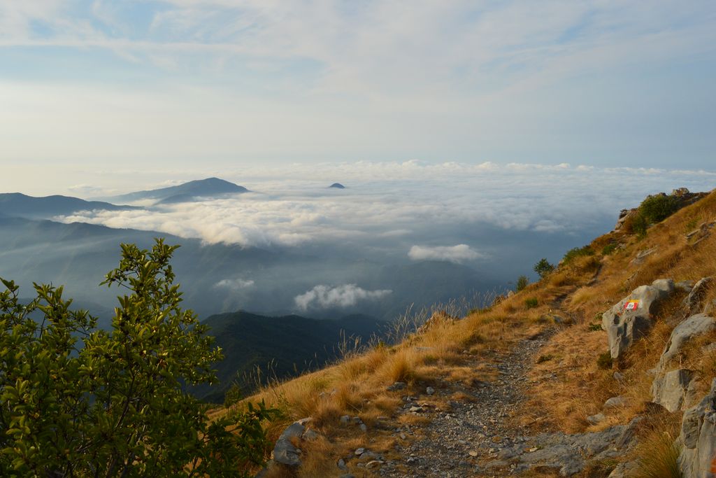
When you leave the Allavena refuge, on a hairpin bend in the road, head left onto path 125 with white and red markers towards Pigna. At 1590 metres, turn left onto the wide track which can be used by vehicles. Do not take the Innamorati path and continue straight on along the track. At the marker Fontana Itala 1657 metres, turn left onto the path following the direction for Pigna (125). Go safely over a secured ledge. Once you reach the marker at 1674 metres, turn right onto the path which rises towards Passo Valletta. Head up along the hairpin bends. At 1792 metres, turn left at a fountain. A few metres further on, when you reach a ruined building, continue along the path on the right. Once you reach marker 170c, continue towards Pas de l'Incise. A few metres further along, turn right following the same indication and then turn left at marker 41 Alta Via Dei Monti Liguri. Head down along a comfortable path with panoramic views at Pas de l'Incise at marker 170b and 1684 metres and continue towards Mont Torrage and Col du Corbeau. Stay vigilant for several metres before reaching a new col at 1818 metres. There, turn left onto the path with the direction Torragio on a rock. Along the same itinerary, make a return journey to the summit of Mont Torrage following markers which are dense with red spots. Be careful over the last few metres prior to the summit. Go back down to the col at 1818 metres, then go down the south-east slope via a very comfortable path with red and white markers. At 1543 metres, at the marker, head towards Passo Muratone. At Col du Corbeau, at an altitude of 1404 metres and at marker 170a, continue straight on along up a short rise before heading down the south-eastern face towards Col de Muraton (the marker’s signpost is not facing the right way). When you reach a track which can be used by vehicles at 1325 metres, continue the descent on the track on the left. At 1228 metres, at the marker, continue straight on along the track which can be used by vehicles towards Rifugio Muratone. Go past the refuge. At marker 170, Col de Muraton (1157 metres), continue along the track which rises slightly towards the indicated direction of Col de Scarassan. At the secondary summit of Scarassan at 1225 metres, continue straight on following the indication of the Rifugio Gola di Gouta marker. Go past a few dwellings and continue along the track; there is a long bend before you arrive at Rifugio di Gouta 1212 metres altitude, at an intersection with a tarmacked road.
- Departure : Allavena refuge
- Arrival : Gola di Gouta refuge
- Towns crossed : Pigna, Saorge, and Apricale
Altimetric profile
Report a problem or an error
If you have found an error on this page or if you have noticed any problems during your hike, please report them to us here: