GTAM - Stage 10: Trinità d'Entracque - Palanfrè
Entracque
10. GTAM - Stage 10: Trinità d'Entracque - Palanfrè
Medium
5h
11,4km
+1210m
-889m
Longer treks
Embed this item to access it offline
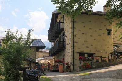
Today, two farming families live all year round at Palanfré. Their flocks graze on the pastures surrounding this hamlet, imbuing it with a particular charm.
2 points of interest
Il bosco bandito che protegge Palanfre - gianluca.giordano  History and historical trail
The Banned Wood of Palanfrè
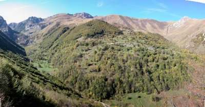
The town of Palanfrè is located at the foot of the steep pasture slopes of Costa Pianard, in a very risky position due to the fall of avalanches. To protect the town, since the early 18th century but probably also earlier, the cutting of the beech forest upstream of the houses had been banned (the "Bandi Campestri" in the archives of the municipality of Vernante, dated 1741, are the first written testimony of the state of protection of the forest). Since 1979, the beech forest has been part of the Palanfrè Woods and Lakes Nature Reserve and was then merged, in 1995, into the Maritime Alps Natural Park. The forest, of over 20 hectares, is only touched by the path: despite this, it is possible to admire the majesty of some of its trees.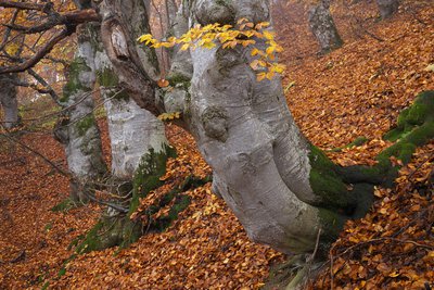
Faggi secolari nel bosco bandito di Palanfrè - Roberto Pockaj  Flora
FloraThe Beech
The beech (Fagus sylvatica), a splendid tree with a gray and smooth bark and oval, intense green leaves, is often present in popular narratives as a magical tree inhabited by gnomes. It prefers shady slopes, up to 1800m above sea level, and can live over 300 years. It produces excellent wood, used for making barrels, tool handles and as fuel. The fruits, the beechnuts, are used as fodder for the pigs.
Description
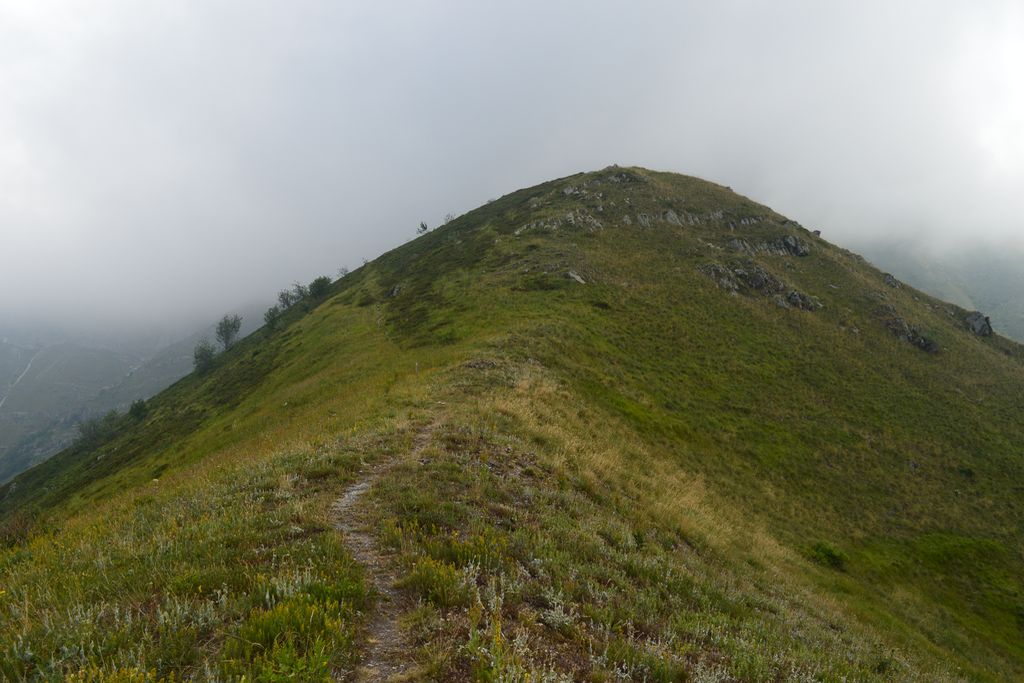
Leave the GTA Locanda Del Sorrisso lodge behind you and take the tarmacked road towards the north-west for 50 metres. At the marker, turn right along the tarmacked road which has white and red L6 markers towards Palanfré. At the end of this tarmacked road, take the path on your right with GTA/L6 markers. Head up the left bank of the mountain stream using the handrail. You will then head rapidly upwards thanks to a steep path which rises through the forest until Colle del Caïre di Porcera at 1802 metres. Turn left at the marker, following GTA/L6. Continue climbing along a path which provides a panoramic view as it crosses steep slopes over three successive sections until Colle della Garbella at 2170 metres. Continue along the ridge via the path with white and red GTA/L6 markers; reminders can be found on certain posts. From an altitude of 2209 metres onwards, head downwards on your left to reach a valley which begins at the foot of a rocky projection. At 1975 metres, close to a boulder, there is a marker denoting the GTA/L6 path. At 1600 metres, join a track and turn right, following the markers. Continue the descent along the track until you reach the village. When you reach a place selling cheese, take the tarmacked road to explore the authentic hamlet of Palanfrè at 1398 metres altitude.
- Departure : Trinità d'Entracque
- Arrival : Palanfrè
- Towns crossed : Entracque and Vernante
Altimetric profile
Report a problem or an error
If you have found an error on this page or if you have noticed any problems during your hike, please report them to us here: