GTAM - Stage 6: Malinvern refuge - Valdieri spa
Vinadio
6. GTAM - Stage 6: Malinvern refuge - Valdieri spa
Hard
6h
15km
+872m
-1315m
Longer treks
Embed this item to access it offline
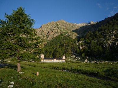
The Valasco Refuge, which sits the heart of an immense high-altitude peat bog, is the former hunting lodge of King Victor Emmanuel II.
2 points of interest
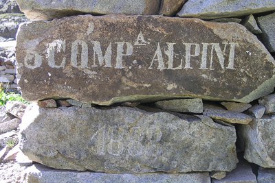
Iscrizione su un cantonale di un ricovero ottocentesco al Lago inferiore di Valscura - Roberto Pockaj  History and historical trail
The Valscura Barracks
Since the end of the eighteen hundreds(an inscription on the remains of a shelter reads "3° Compagnia Alpini, 1888") Lower Lake Valscura was chosen as the site where troops were garrisoned to defend the strategic pass of Bassa del Druos. Beginning in 1888, when barracks were erected to house 140 soldiers and two officers, for almost fifty years buildings were constructed on this site, until the entire complex was finally transformed into an armory, officially known as A131,containing munitions, explosives and artillery pieces.
Il Lariceto - Cati Caballo  Flora
FloraThe larch
This type of forest is rather localized in the Maritime Alps, which notoriously represent the realm of the beech forest. It covers the slopes at the heads of the valleys with sparse and luminous populations, sometimes grazed by the herds that have climbed the mountain pastures. Most of the time their purity is not natural, but induced by man: in fact, over the centuries, man has favored this tree species to the detriment of others, such as the stone pine, for example, because they are less favorable for exercising the grazing due to the increased shading of the soil.
Description
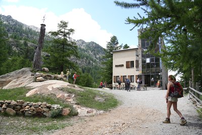
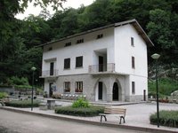
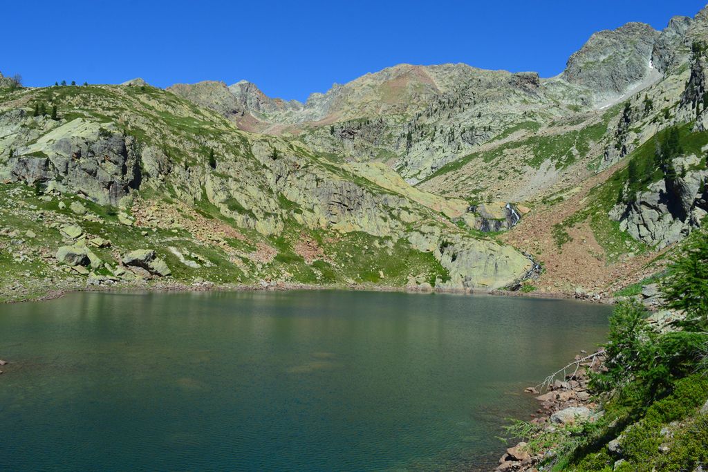
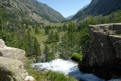
From the Malinvern Refuge, heading south, you will find the GTA P 13 marker a few metres below, continuing straight on to another marker for Passo Valscura and then heading down along the promontory and crossing the mountain stream via a footbridge at an altitude of 1813 metres. After the footbridge, take the path on your left, which zigzags upwards. At 1907 metres, head along at the foot of the rocky projections before continuing upwards on a path which zigzags more steeply (white and red markers). At 2173 metres, you will reach a direct promontory of Lac Malinvern and find a marker which confirms the itinerary on GTA P13. Go around the lake via its eastern edge at 2122 metres. At 2214 metres, turn left on the scree; shortly afterwards you will see a highly visible white and red marker. Continue up the zigzags on the green slopes of a promontory which is typical of such valleys, then leaving them to continue along the eastern edge of the valley at an altitude of 2297 metres. At around 2425 metres, go across a scree with a clearly visible path flanked by red and white marker. Take care when arriving at Col Valscura as there are often snow patches late into the season. Head down to the lake, often using parts of paths which could formerly be used by vehicles, following directions to Termes de Valdieri N43 (red and white markers). You will pass close to some ruined buildings before reaching the eastern edge of the lake at 2274 metres. Cross the mountain stream which flows out of the lake where you will find a marker and then go down the wide path which can be used by vehicles following the N23 red and white markers. This path will head alongside the mountain stream. At an altitude of 2206 metres, head into a short tunnel before finding a hairpin bend which, over the space of a few metres, is damaged. At the bottom of the valley, at approximately 1825 metres, you will cross the mountain stream three times (footbridges) then head up to the left for a few metres on the path. You will pass by Casa Di Caccia Refuge Valasco at an altitude of 1770 metres. At the edge of Pian del Valasco, where there is a waterfall, continue straight on along the path; do not take the marked path which rises on the left. Lower down, take a narrow path on your right close to the mountain stream and is a shortcut past several zigzags on the track. You will arrive at a carpark adjacent to the church.
- Departure : Malinvern refuge
- Arrival : Terme di Valdieri
- Towns crossed : Vinadio and Valdieri
Altimetric profile
Report a problem or an error
If you have found an error on this page or if you have noticed any problems during your hike, please report them to us here: