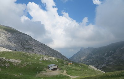
13. GTAM - Stage 13: Pian delle Gorre refuge - Don Barbera refuge
1 point of interest
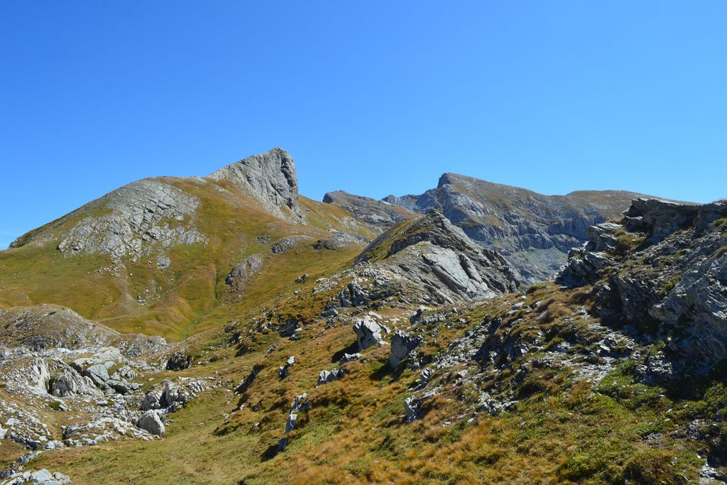
La Conca delle Carsene - Archivio EAM  Geology
La Conca delle Cársene
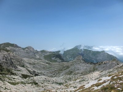
The Conca delle Càrsene is a vast plateau consisting of limestone rocks, characterized by expanses of bare, white rocks alternating with grassy cover.
It manifests the typical aspects of karst areas with limestone pavement, dolines and sinkholes. A superficial hydrographic network is completely missing: rain and snow meltwater are immediately absorbed and give rise to the resurgence of Pis del Pesio, located several hundred metres below.
Curiously, there are also areas located beyond the Alpine watershed, such as Plan Ambreuge, that are part of the catchment area, so water falling south of the Alps, after an underground journey, flow out on the Italian side.[Alpi Liguri, p.80]
[La Guida del Parco Alta Valle Pesio e Tanaro, pp.46-47]
Description
- Departure : Pian delle Gorre refuge
- Arrival : Don Barbera refuge
- Towns crossed : Chiusa di Pesio, Briga Alta, and La Brigue
Altimetric profile
Report a problem or an error
If you have found an error on this page or if you have noticed any problems during your hike, please report them to us here:
Close by2
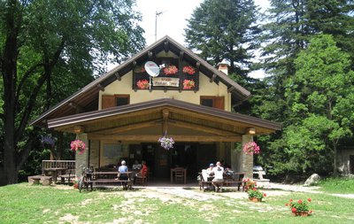
- Mountain Hut
Mountain Hut
Rifugio Don Barbera
The current structure, in stone and wood, is the result of a complete renovation recently carried out. It is a comfortable refuge, suitable for hikers as well as for groups and schools.
The refuge is located a few meters from the Colle dei Signori, immersed in the austere and uncontaminated nature of the upper Pesio and Tanaro valley natural park.