GTAM - Stage 9: San Giacomo d'Entracque - Trinità d'Entracque
Entracque
9. GTAM - Stage 9: San Giacomo d'Entracque - Trinità d'Entracque
Medium
4h30
13,7km
+959m
-1108m
Longer treks
Embed this item to access it offline
The lake of La Piastra is an immense water storage area to power the Luigi Einaudi hydroelectric power station. This is the biggest “accumulation” station in Italy and one of the biggest in Europe.
Description
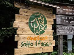
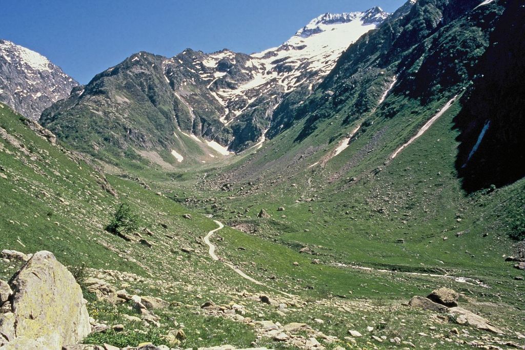
When heading downhill from the refuge along the tarmacked road, take the bridge on your right and reach the entrance to the Camping Sotto Il Faggio campsite at à 1222 metres. Find the marker which shows the way to Trinita via GTA M 22 with white and red markers. Head into the campsite carpark for a few metres and then turn right quickly after. Head alongside the right bank of the Gesso della Barra mountain stream until you reach 1000 metres altitude. Turn right onto the M22 with white and red markers towards Trinita. You will go up rapidly along a steep path until you reach an altitude of 1223 where there is a handrail attached to provide security across the stone slabs. You will reach an initial secondary peak before continuing on a flat path along the rock face before reaching the panoramic rocky bars where the path, still well-marked, heads away to the right. You will reach Colletto Vailetto (Passo di Valle Steira on maps) at 1515 metres. From there, continue along the descent towards Trinita thanks to the GTA/M22 path with white and red markers. At 1326 metres, continue straight on at an intersection (white and red markers which are not hugely visible), then a few minutes later turn left onto the track which can be used by vehicles following the GTA/M22 marker. Continue straight on at the following marker a few minutes later. Lower down, after a few metres along a tarmacked road, take the path on the right following the indication provided by the marker and you will quickly cross two mountain streams, walking alongside the right bank of the second one as you head briefly uphill. At 1193 metres, go through a hamlet which is undergoing renovation. At an altitude of 1177 metres, turn right at the marker following the GTA/M22 path. Continue along a track which can be used by vehicles which climbs to reach an altitude of 1288 metres. Turn left at the GTA/M 22 marker and head down into a beech wood. Turn right onto a track which can be used by vehicles following the GTA/M 22 marker, and then turn left a few metres on where there is a second marker. Go across the mountain stream via a wooden bridge. Head up to Trinita.
- Departure : San Giacomo d'Entracque
- Arrival : Trinità d'Entracque
- Towns crossed : Entracque
Altimetric profile
Report a problem or an error
If you have found an error on this page or if you have noticed any problems during your hike, please report them to us here:
Close by3
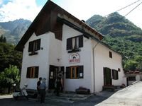
- Mountain Hut
Mountain Hut
Rifugio escursionistico S. Giacomo e Baita Monte Gelas
Structure open only in the summer season.
The Baita Monte Gelas was born in 1953 thanks to Giovanni Gerbino and Caterina Mellano. Since then our family has been offering hospitality and refreshments to visitors to the upper Gesso Valley.