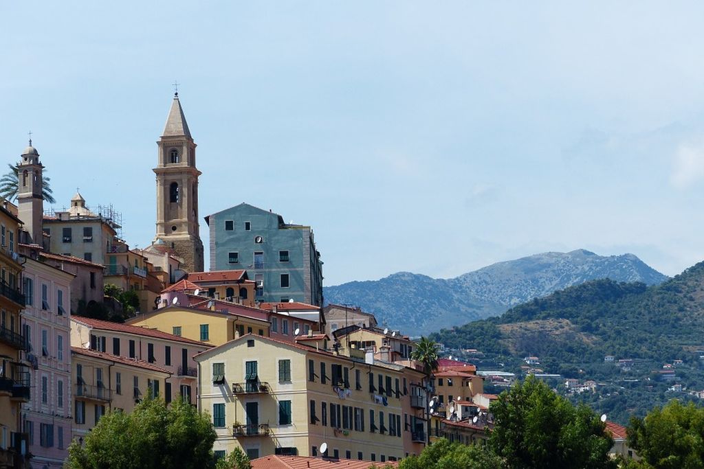
19. GTAM - Stage 19: Torri - Grimaldi
Description
From the village of Torri, walk alongside the Bevera in a southerly direction. At the bridge, take the road on the right for 100m and then turn right onto the path which heads up in steps, indicated via Terché. The itinerary crosses the edges of cultivated properties before entering the woods.
After a few minutes, a crossroads shows you along the Balcon Vilatella path. Reach the hamlet of Vilatella and continue uphill towards Le Gramondo. Pass the Pointe Corna, 1050m, before reaching the border ridge and the French slopes. Turn left onto the GR52, go through the pine forest on Col du Berceau, 1062m, and Roc d’Orméa is on the right. You can go up this climb of 112m. The downhill section on the southern slope is steep, stony and technically difficult. The slope flattens out when you reach the forest, 716m, a junction between itineraries (marker 11) when you reach Plan du Lion (marker 10), continue towards the south; do not follow the GR markers. At the following intersection with a signpost, turn left onto a gentle uphill section and go over the border ridge again towards Italy.
Initially a path and then a track, winding up to reach the Col des 7 chemins (Passo Sette Cammini). At the col, head right toward the sea. The path is clear with white and red markers to the village of La Mortola. On the square opposite the chapel is the start of the path towards Ciotti, and this is the way you should head. Reach the hamlet at 335m altitude and continue downhill along the marked path until you reach Grimaldi Supérieure. Make sure that you follow the markers; the sea is close by and you can reach the coastal path and the archaeological site of Balzi Rossi.- Departure : Torri
- Arrival : Grimaldi
- Towns crossed : Ventimiglia and Menton
Altimetric profile
Report a problem or an error
If you have found an error on this page or if you have noticed any problems during your hike, please report them to us here:
