GTAM - Stage 15: Realdo - Allavena refuge
Triora
15. GTAM - Stage 15: Realdo - Allavena refuge
Hard
6h
13,1km
+1108m
-587m
Longer treks
Embed this item to access it offline
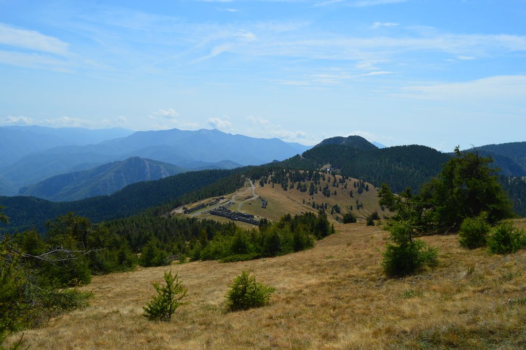
Little by little you will leave the Alpine setting and move into a medium-sized Mediterranean mountain environment, with sharp reliefs and a distinctive character.
Description
As you leave the Realdo refuge, head left into the flat and straight alley which quickly becomes a path, heading towards Borniga (no markers on the ground). Cross the mountain stream via a wooden bridge when you reach an oratory, before you begin to rise. At 1091 metres, you will pass close to the tarmacked road. After a steep climb through several hairpin bends, you will reach the road at 1288 metres and turn left. At the Borgina 1300 metres signpost, go down to the left onto the small square and continue straight, following the indication Sanson on a marker. Continue straight on when you reach the last dwelling. After about 5 minutes walking along flat ground, head downhill on the path on your right which is next to a wooden cross. Cross the bed of a temporary mountain stream and head back upwards, crossing through a very shady area between the dry-stone walls. At 1367 metres opposite a piece of private property, turn right for a few metres to reach the tarmacked road and turn left. Continue along the road which becomes a track for a few metres until there is a short right-hand bend at an altitude of 1414 (a dwelling 100 metres below on the left), where you will find the direction “Bassa Sanson” indicated on an unobtrusive. Go up a wide stony path, staying to the right. Then continue on a more clearly defined path, which heads through a more forested area. You will reach a crossroads between path at 272a Baisse de Sanson, 1694 metres altitude. Continue along the track which can be used by vehicles following the direction for Cime de Marta. At the next crossroads between paths, at marker 272b, turn right onto the Cime de Marta path with yellow markers. A few metres after this marker, stay on the path with yellow markers bearing right. When you reach two ruined buildings, pick up a track which can be used by vehicles and then a few metres further on the forest track with red/white and red markers (do not take an old path with yellow markers which rises between the two paths on a grassy spur up to a ruined building, which as of the time of writing was closed). On the hairpin bend along the track, continue straight on downhill for several metres before turning left onto the path with yellow markers. Once you reach the ridge at marker 255, turn right following the direction for Cime de Marta, then turn right again a few metres further along at marker 255a following the same direction. Reach the summit of Cime de Marta at 254, 2135 metres altitude via a path which ends with a series of hairpin bends. From the summit, you will gradually head down from the ridge, following the direction for Baisse de Géréon. At marker 253, head gradually up opposite on the track which can be used by vehicles (there is no confirmation that you are going in the right direction on the marker’s signpost) and has yellow markers, ending with a series of hairpin bends to reach the antenna at the summit. Return by the same itinerary to marker 253 then take the flat track on the right, heading past a shelter before going slightly uphill. Head between the ruins before turning right on the track which can be used by vehicles with the white and red markers. At marker 255b, continue along the track on the left following the direction for Col Bertrand (yellow/white and red markers on the ground). At the junction between tracks at marker 43 Alta Via Dei Monti Liguri, continue straight on. At marker 255c Col Bertrand 1779 metres, stay on the track which can be used by vehicles on the left, following the direction for Colla Melosa and Refuge Allavena. At 1870 metres altitude, after the Mont Grai refuge, leave the track and take the path on the left following the markers for Colla Melosa and Rifugio Allavena.
- Departure : Realdo
- Arrival : Allavena refuge
- Towns crossed : Triora, La Brigue, Saorge, and Pigna
Altimetric profile
Report a problem or an error
If you have found an error on this page or if you have noticed any problems during your hike, please report them to us here: