GTAM - Stage 5: Sant'Anna di Vinadio - Malinvern refuge
Vinadio
5. GTAM - Stage 5: Sant'Anna di Vinadio - Malinvern refuge
Medium
5h30
14km
+886m
-1082m
Longer treks
Embed this item to access it offline
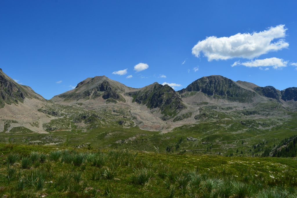
The many crosses and unobtrusive oratories show the religious fervour which exists around the sanctuary. Note also the markers denoting the border between France and Italy along the ridge.
Description
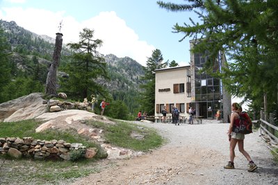
From the church of the Santa Anna di Vinadio sanctuary, leaving the souvenit shop behind you, go right up the tarmacked road to find marker 341 indicating Colle Lombarda and continue along the tarmacked road (white and red markers) to reach a carpark at the end of it. Go past the foot of Rocher de la Sainte Vierge, get on the path before the Rocher and turn left. At marker 342, go straight on to P18 Lago del Colle di Santa Anna. Continue straight on along the wide track where a marker indicates Passo di Santa Anna on the right. At the marker for Lago di Santa Anna 2156 metres, turn left for Colle Lombarda GTA P57 (white and red markers). After a few steeper hairpin bends, cross a scree and follow P57 GTA Colle Lombarda to the left, reaching Passo Santa Anna at 2374 metres. Cross along the ridge via a path with red and white markers, alternating between short descents and gentle rises. At an altitude of 2378 metres, bear left at a fork and head towards the military pillboxes which can be seen and then take the track with red markers which heads down to the left, passing below the pillboxes which are nestled on the northern slopes of the peaks of La Tête de l'Adrech d'Ambaris. Reach marker 100 at Col de la Lombarde, 2350 metres altitude. From the col, go down the tarmacked Italian SP255 road until you reach an altitude of 2280 metres, and on a left-hand bend follow the Passo Orgial markers to the right then turn right again at marker 342 (white and red markers on the ground). Reach Passo Orgial at 2600 metres and begin the descent, following the Refuge Malinvern GTA P14 markers (be careful over the first few metres), then cross along the rock face on the slopes of Testa Badan to discover the lakes of Orgials. At 2322 metres altitude, continue straight on following the indication on the marker. Wind downhill among the high-altitude grasses following the white and red markers which are complemented by more visible red arrows and sometimes Via Alpina plaques. At 2138 metres, you will reach the shores of the lake before rising along a rocky promontory at 2172 metres. Go down a comfortable path, passing close to a belvedere over the waterfall formed by the Orgial mountain stream. At 1870 metres, the path heads alongside the foot of a rocky projection; turn right onto a path with cobbles formed by boulders to reach a wider path. Turn left and arrive at the Malinvern refuge.
- Departure : Sant'Anna di Vinadio
- Arrival : Malinvern refuge
- Towns crossed : Vinadio and Isola
Altimetric profile
Report a problem or an error
If you have found an error on this page or if you have noticed any problems during your hike, please report them to us here: