GTAM - Stage 4: Bagni di Vinadio - Sant'Anna di Vinadio

Vinadio
4. GTAM - Stage 4: Bagni di Vinadio - Sant'Anna di Vinadio
Medium
6h
12,1km
+1136m
-387m
Longer treks
Embed this item to access it offline
The Sant’Anna di Vinadio sanctuary, perched at an altitude of 2100m, is the highest in Europe. This site began in the 11th century after the apparition of the virgin Sant’Anna to a shepherdess. Thousands of ex-voto can be found on the walls of the current church, which was built in 1681.
Description
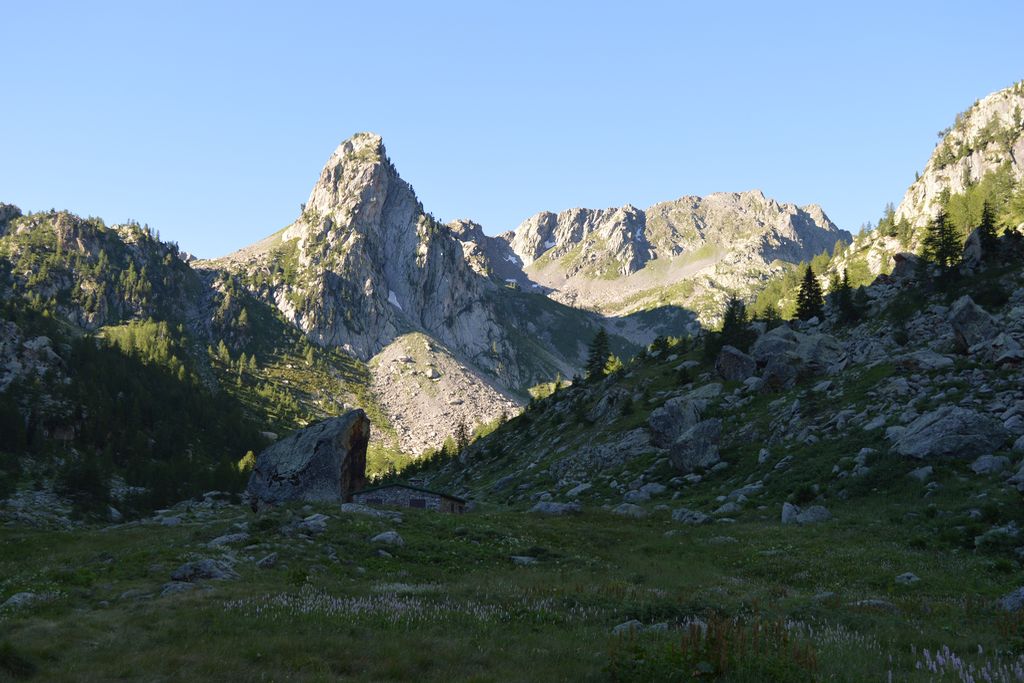
Head south-west along the tarmacked route of Vallone dei Bagni towards Callieri (white and red markers). You can take a variation on the right which runs parallel to the road. After walking for 30 minutes, at 1415 metres, when you reach the boards which welcome visitors to the site, turn right onto the bridge following the direction of Cascata Marina, then turn left shortly afterwards, following another bridge, to reach the four Granges Marina a few minutes later along the left bank of the mountain stream to continue towards Cascata Marina. Before the belvedere which looks over the waterfall, turn left following the direction for Passo Di Tesina/Santa Anna Di Vinadio. At 1521 metres, you will reach a wider and more clearly defined path with white and red markers by turning left. At 1898 metres, you will reach a flatter section close to a mountain stream below a scattered larch forest. At 1990 metres, turn left onto a wooden bridge following directions for Passo Tesina/Santa Anna Di Vinadio P19 GTA and rise rapidly through the hairpin bends to reach a flatter section at 2262 metres altitude (white and red markers). The path then continues on the left, heading close to a small lake at 2131 metres, and the itinerary is confirmed by a new marker. You will then rise steeply to reach some ledges with panoramic views before marker 344, Passo di Tesina at 2400 metres. Continue opposite, gently heading downhill along a series of wide hairpins which used to be used by the military. Reach Lago di Santa Anna at 2167 metres. At 2109 metres, take the wide path to the left following the indication provided by marker 342. At the carpark close to the boulder with the statue of the Virgin, go downhill on the tarmacked road to the church of the Santa Anna di Vinadio sanctuary.
- Departure : Strepeis
- Arrival : Santa Anna di Vinadio
- Towns crossed : Vinadio
Altimetric profile
Report a problem or an error
If you have found an error on this page or if you have noticed any problems during your hike, please report them to us here:
