GTAM - Stage 12 : Agriturismo l'Agrifoglio - Refuge Pian delle Gorre

Limone Piemonte
12. GTAM - Stage 12 : Agriturismo l'Agrifoglio - Refuge Pian delle Gorre
Hard
6h
14,4km
+1273m
-1206m
Longer treks
Embed this item to access it offline
After a demanding and sustained climb to the Col Vaccarile, the route gradually through the wooded territory of the upper Pesio valley before reaching Plan des Gorre.
Description
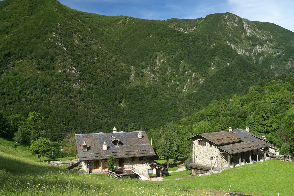
From the Agriturismo l'Agrifoglio (955 m) climb on asphalt, then turn right onto the dirt road that leads to the yellow giant bench.
Now ignore the fork to Meire Vudrand on the path to the left and continue flat through the woods. We pass behind a house, beyond which we find the path that leads on an asphalt road at the Chapel of San Bernardo (1013 m, 0:35 hours from the Agriturismo l'Agrifoglio).
Go left, then right, always on asphalt. After a hamlet, the road becomes unpaved: at the second bend on the left, take the grassy track in front of it, which guards a stream (footbridge on the left), winds its way through meadows and becomes a path.
After the ruins of the Brozer Casalos, the path steepens and climbs up into the beech wood for a long time, detaches the track to the right for Bec Cucco (panoramic point), then flattens and leads to Colletto Almellina (1481 m, 1:30 hours from the Chapel of St. Bernard).
Continue north-east along the long ridge, coming up from the bosto and up almost to the head of the valley.
Once you reach Colletto Mirauda you come to a fork and turn right, with a semicircular path that leads to Colle Vaccarile (2046 m, 1:45 hours from Colletto Almellina).
From the pass you descend towards the south-east, guessing the track that leads to the Gias Vaccarile soprano (1912 m, 0:20 hours from Colle Vaccarile, possible problems with poor visibility).
A track leads to a strip of rocks that descends along a comfortable carving: after about thirty meters on the lawn turn abruptly to the right (south-west).
With various ups and downs you arrive at the foot of the characteristic rock of Bec 'd'l'Uia: the descent resumes among shrubs and many traces and leads to Gias Vaccarile sottano (1704 m).
Descend eastwards, then turn right and enter the Gorgia da Furnasa. You ignore the path to the Baban Pass on the right and enter the woods further downstream. After a half-coast, the descent continues that leads to the bridge over the river Pesio, near the spectacular Gias Fontana waterfall. You ignore the path to the Gias degli Arpi on the right and you arrive at Gias Fontana (1218 m, 1:30 hours from the Gias Vaccarile soprano).
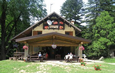
After crossing the clearing and leaving the path to the left for the Osservatorio Faunistico delle Canavere (Canavere Wildlife Observatory), you come out on the dirt track for Pian delle Gorre. Follow it to the right, up and down, as far as the bridge over the Saut stream. Continue to the left and you will reach the magnificent clearing of Pian delle Gorre (1032 m, 0:45 hours from Gias Fontana), home of the refuge of the same name.
- Departure : Agriturismo l'Agrifoglio
- Arrival : Refuge Pian delle Gorre
- Towns crossed : Limone Piemonte and Chiusa di Pesio
Altimetric profile
Report a problem or an error
If you have found an error on this page or if you have noticed any problems during your hike, please report them to us here:

