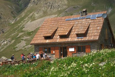
6. GTM - Stage 06 : Refuge de Vens - Refuge de Rabuons
Description
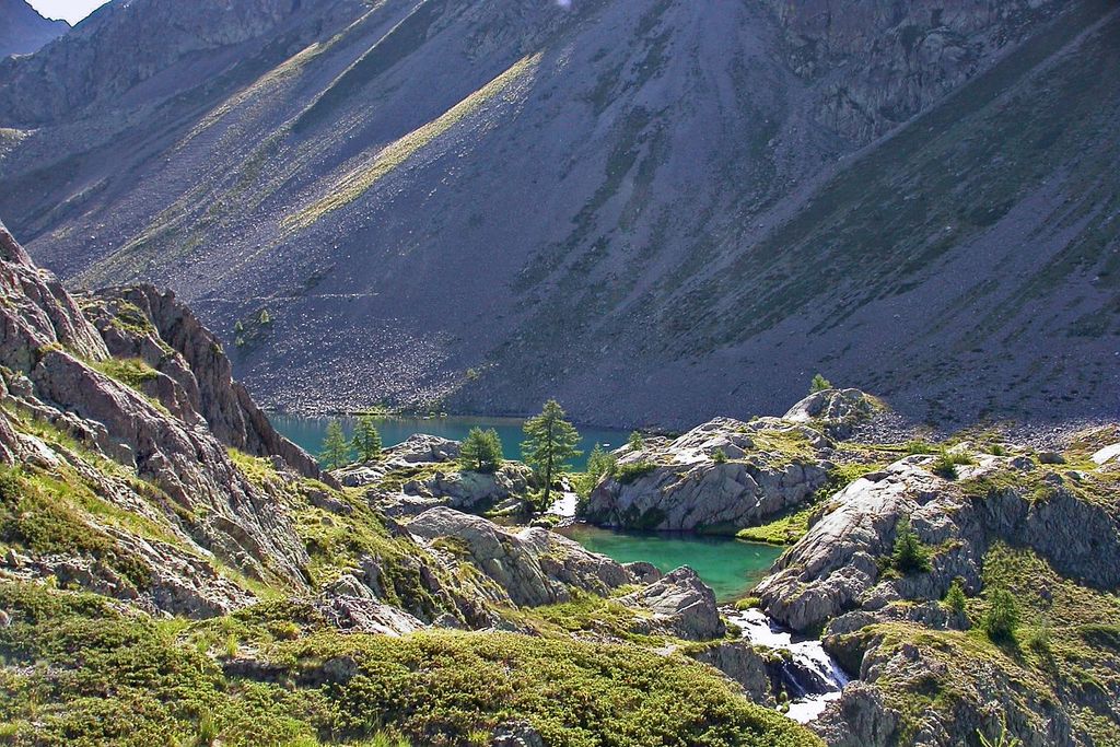
Setting off from the Vens refuge (2380m – m.25), reach marker 24 and go down along the right shore of the upper Vens lake. Head alongside the intermediate lakes (m.27) and the lower lakes, still along the right shores. Go across the spillway via a footbridge (2285m – m.26) and head up on the opposite side towards Lac des Babarottes via a narrow path which is dotted with cairns.
Continue climbing until you reach the wide ridge of Les Babarottes (2506m). Begin the descent down the south slope via a small path with hairpin bends which will soon lead you to the beginning of the Chemin de l’Énergie (m.113), then walk along the almost level track, which is wide and has panoramic views. After the ridge of Balaï (m.112), you will reach the EDF houses at Plan de Ténibre and the mountain stream (m.111) via two tunnels.
At signpost 111, leave the Energy path and climb up to the left using the newly marked path. Continue on the main track leading to Lac Fer, leaving the track that leads to the Pas de Ténibre on the left. The path climbs through a series of bends, then over some steps to a rocky pass leading to a wide open space. Continue until you reach Lac Fer (2541m). Take the path to the right of the lake and you will almost immediately reach a descent. Start the downhill path to the south, winding your way through hairpin bends which bring you back to the Energy path (Lac Petrus - signpost 110).
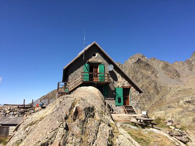
Head left along the Energy Trail. Continue along a flat section towards the Rabuons refuge and reach the Sélasse ridge (m.103). You will be able to see the Lac de Rabuons rock bar and, standing on its promontory, the small CAF refuge of Rabuons (2 523 m).
Reach the Rabuons cirque via a progressive climb (m.104, 105) through a landscape of incredible steep surfaces which are punctuate by some tremendous works of art (walls, tunnels).
- Departure : Vens refuge
- Arrival : Rabuons refuge
- Towns crossed : Saint-Étienne-de-Tinée
Altimetric profile
Recommandations
Report a problem or an error
If you have found an error on this page or if you have noticed any problems during your hike, please report them to us here:
Close by2
- Mountain Hut
- Mountain Hut