Variation GTM Barcelonnette - Stage 2 : Bayasse - Saint-Dalmas-le-Selvage

Uvernet-Fours
20. Variation GTM Barcelonnette - Stage 2 : Bayasse - Saint-Dalmas-le-Selvage
Medium
Difficulty5h30
Duration17,4km
Distance+906m
Positive Elevation-812m
Negative ElevationLonger treks
Course typeEmbed this item to access it offline
After the ascent of the Moutière valley, a long crossing under the Cime de la Bonette to the Col de Colombart begins. Then comes the magnificent descent from the Alpe valley to Bousieyas.
1 point of interest

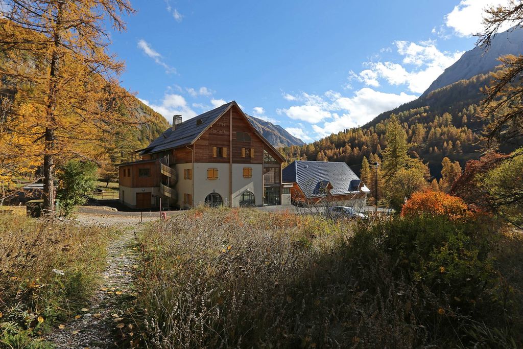
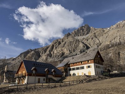
Refuge-Hôtel de Bayasse - PNM/DR  Refuge
Bayasse Refuge-Hotel
Mercantour National Park Refuge-Hotel
Refuge open all year
Restaurant open every day from May to September and upon reservation all year
Capacity: 11 bedrooms; 2 dormitories (6 to 8 people), 4 family rooms (2 to 4 people) and 5 double rooms.
Half-board from 44€, special prices for families, children and groups.
Tel: (0)4 92 32 20 79
+33 (0)6 38 83 21 42
Prices and complementary information: http://www.refuge-bayasse.fr/
Description
From the refuge-hotel take to the right the track in marked ascent GR which crosses the hamlet. It rises regularly towards the Col de la Moutière. Before reaching the pass 2334 m a path intermittently cuts the curves of the track. From the col beacon 61, continue left on the GR 56 towards the col de Colombart. The ascent is progressive and the path is traced out on a balcony. You reach the col de Colombart 2529m beacon 45. Leave the GR and turn left downhill towards Bousiéyas itinerary marked yellow. The route crosses the valley of Alpe, passes under the rock of the Priest. Beacon 44a you join the track which serves the mountain pastures from Bousiéyas. Once again signposted GR follow this track downhill on the left until you reach the bottom of the valley. Facing you is the village of Bousiéyas. Join the road of the Bonette pass and turn left on some put to enter the hamlet of Bousiéyas.
- Departure : Bayasse
- Arrival : Bousiéyas
- Towns crossed : Uvernet-Fours, Jausiers, and Saint-Dalmas-le-Selvage
Altimetric profile
Recommandations
Is in the midst of the park
The national park is an unrestricted natural area but subjected to regulations which must be known by all visitors.
Report a problem or an error
If you have found an error on this page or if you have noticed any problems during your hike, please report them to us here:

