3. GTM - Stage 3 : Saint-Delmas-le-Selvage - Hamlet of Bousieyas
Description
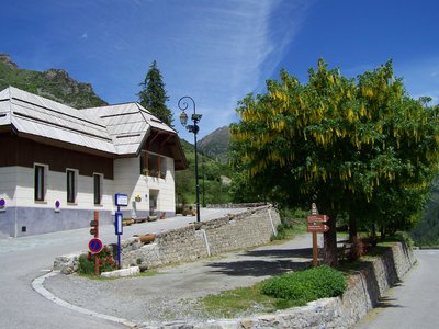
Set off from the Tourism Office at Saint-Dalmas-le-Selvage (m.68 - 1500m), follow GR5 which heads up an alley and comes out in the north of the village (m.48).
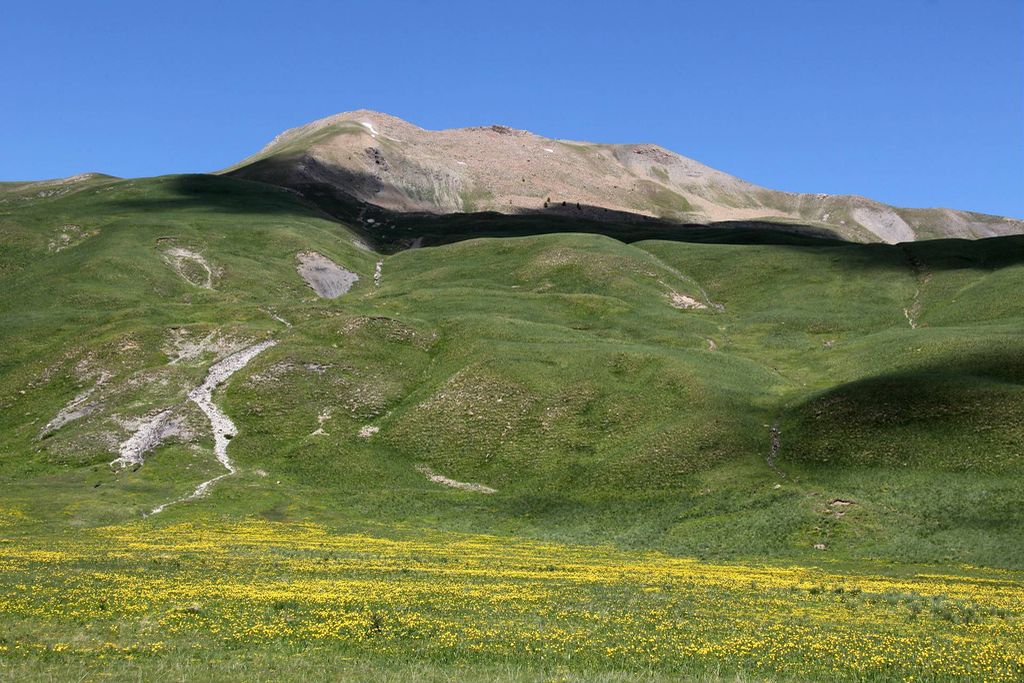
Turn right onto the path (GR5) which heads uphill among the hay meadows, then reach the valley of La Combe, which is the boundary of Mercantour National Park.
Ford La Combe and, via a series of hairpin bends, you will reach the district of Rochepin with its barns (1900m). Continue along the path and via a long oblique passage, you will reach the way up the Col de la Colombière. Reach the col (m.47 - 2237m) and take the time to pick out the hamlet of Bousieyas to the north.
Take the left fork onto GR56 to go around La Pointe Giassin via its southern side and you will soon come out onto the ridge of La Blanche. Continue along the ridge, at times on the Tinée, at others on the Sestrière side.
Reach Col de l’Alpe (m.46 - 2600m) then descent towards the north towards Col de Colombart (m.45 - 2359m).
Leave GR56 and head right (east) onto the path through the Alpe valley which passes through the Alpine pastures and then you will reach the ridge of the same name. Turn right onto the pleasant path which allows you to discover the high Alpe valley. You will pass close to the pastoral hut (2277m) and, via a series of small hairpins, you will reach the Rio mountain stream below the limestone bar of L’Are (m.44a).
Subsequently, follow the horizontal track on the right bank of the mountain stream and you will soon come out onto the Issias plateau with its pastoral hut (m.44). Turn left onto the track (GR5 route).
Turn left and you will easily be able to reach the hamlet of Bousieyas (m.43 - 1883m).- Departure : Saint-Dalmas-le-Selvage
- Arrival : Hamlet of Bousieyas
- Towns crossed : Saint-Dalmas-le-Selvage
Altimetric profile
Recommandations
Report a problem or an error
If you have found an error on this page or if you have noticed any problems during your hike, please report them to us here:

