11. GTM - Stage 11 : Refuge Questa - Le Boréon
4 points of interest
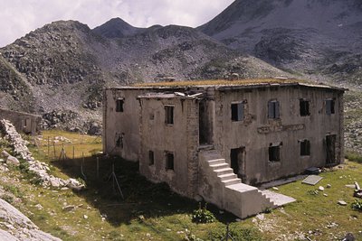
Il ricovero Umberto I - Roberto Pockaj  History and historical trail
The Umberto I shelter
This is in fact a large barracks, designed to house 130 soldiers and 4 officers. Built in 1894, it was readapted on three separate occasions, the last of which in 1934, when another section was added on one side of the main building to house the kitchen, and a freestanding structure was also erected. The ruins of an old storage barn and stables can be seen just above the barracks.
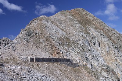
La Casermetta difensiva Colle Fremamorta e la Cima di Fremamorta - Roberto Pockaj  History and historical trail
The Cima di Fremamorta barracks
The barracks building is an imposing structure and is still in relatively good condition: The camouflage paint on the doors is still visible, and there are a good number of windows and doors left, outside and inside. Outside, there are traces of the open-air kitchen, used by the troops during the warm months. The barracks could house a garrison of 60.
Along the last stretch of uphill trail, as well as in the nearby Val Morta, there remain a few telephone poles in larch, on which were strung the wires for communications between defensive outposts.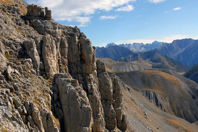
Panorama sur la chaine transfrontalière Argentera-Mercantour depuis les barres du Mont Mounier, (sommet à 2817 mètres). - PIERINI Philippe  Geology
Argentera granite
If you look closely at this grey rock, you will see that it is made of different minerals. Quartz (grey) and feldspar (white) sometimes big with a few sparkling areas here and there on the rock. This is black mica and more specifically biotite.
You have discovered blocks of granite. All the minerals it is made up of are contiguous and visible with the naked eye. The texture is igneous, characteristic of plutonic rocks which crystallised deep in the earth.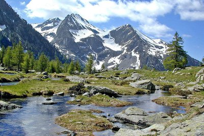
La cime de l'Agnellière, (2699 m) et la cime de Juisses, (2580 m), depuis le haut Boréon, zone humide. - GUIGO Franck  History and historical trail
Village of Boréon
In the past, Boréon was part of Italy and only became French in 1947; its access road dates from the 1950s. This domain of more than 4000 hectares, a former reserve of the kings of Italy, essentially consists of pasture and forests. It was formerly a haunt of salt smugglers.
Today, all of this natural valley is a classified site. Its development is based on tourism which respects natural environments.
Description
From the refuge, head downhill towards the east to reach the stone track, leaving the way to Le Pas du Préfouns to head away on your right.
After a long section, start heading up the climb towards Collet de Valasco via the Morta valley; you will reach the former, at an altitude of 2249m, via a series of hairpin bends. Do not take the path to the west which heads very steeply towards Collet des Bresses.
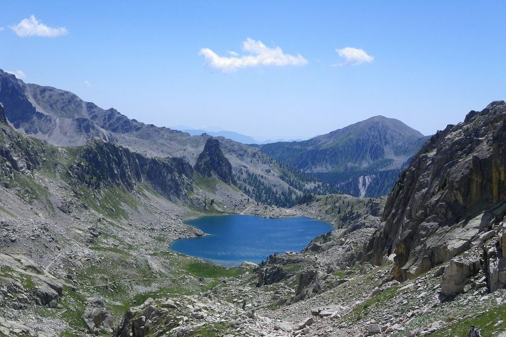
Once you have gone past the last lake on the left, the final steep slope allows you to reach Col de Frémamorte (m.271) 2615m. Enjoy the delightful panorama over the Argentera and the series of lakes either side of the border.
From this point, a very long descent will begin; it starts with a series of hairpin bends on the southern slopes of the col before reaching the fork for Camp Soubran (m.270) 2 270m. As you are going, admire the Swiss pines which are scattered over the different faces of Caïre Pounchu and go over the small glacial rock bar to cross the valley created by the spillway from Lac Nègre going down towards the hamlet of Mollières.
The path keeps winding downhill amid the rhododendrons and blueberry bushes. Go past the Agnellière ruins (m.269) before crossing the Mollières mountain stream via a footbridge which goes over it. Continue downhill along the old track which comes from Lac Nègre to reach the road leads to the hamlet of Mollières (m.268).
Go up the track and you will quickly reach the Col de Salèse (m.436). For 500m, follow the road along which runs GR52 and at (m.435), leave the road and head down to the bottom of the valley following the route of GR52 into a conifer forest.
Pass close to the cow barns at Salèse to reach (m.434) and the road, which you will leave very shortly afterwards to cross the valley (m.397).
Continue on the right bank along GR52, reach (m.398), cross the valley again, following the GR and go up to the road (m.399). Continue along the M89 to Le Boréon.
- Departure : Questa refuge
- Arrival : Boréon
- Towns crossed : Saint-Martin-Vésubie, Valdeblore, and Valdieri
Recommandations
Report a problem or an error
If you have found an error on this page or if you have noticed any problems during your hike, please report them to us here:
Close by2
- Mountain Hut
Mountain Hut
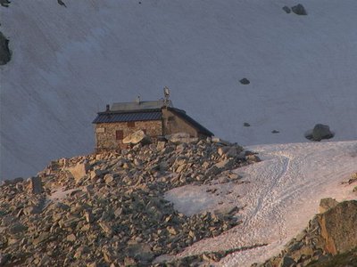
Rifugio Questa
The Emilio Questa refuge (2388 m) stands on a rocky peak located on the north shore of Lac des Portette, in the heart of a vast valley surrounded by the peaks of Portette, Claus and Prefouns. It is an ideal place for naturalist excursions: you can see chamois, ibexes, marmots and the emblematic bearded vulture.

