6. Grand Tour of Argentera and Vallée Merveilles - Stage 6
8 points of interest
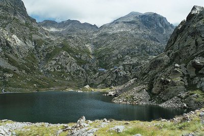
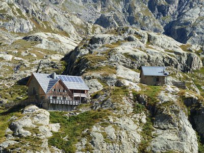
En Gordolasque, le lac de la Fous et le refuge de Nice - LE BOUTEILLER Eric  History and historical trail
The Salt Road
The track which leads to the Nice refuge is one of the secondary passages of the Salt Road via the “Pas de Pagari”. Frequented since ancient time, this Pas gets its name from Paganino dal Pozzo,an Italian entrepreneur who, in 1453, was appointed as salt tax adjudicator by the Duke of Savoie.
Paganino was responsible for the construction of a new route via the “Pas de Pagari” to transport salt from Provence to Cuneo in Piedmont.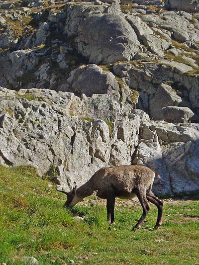
Chamois (Rupicapra rupicapra) près du refuge de Nice en Gordolasque à la fin de l'été - MALTHIEUX Laurent  Fauna
FaunaChamois (Rupicapra rupicapra)
A mammal of the Bovidae family and the subfamily of the Caprinae, the chamois (Rupicapra rupicapra) is a mountain dweller par excellence. It can climb 1000m upwards in 15 minutes (a hiker would take 3 hours). It can be recognised thanks to its horns, which are straight and then curved backwards, and quite small compared to those of the ibex.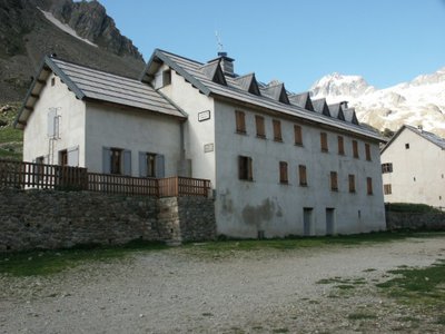
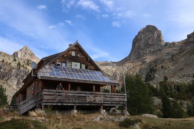
Refuge de la Madone de Fenestre - CAF / DR  Refuge
La Madone de Fenestre refuge
Club Alpin Français
Capacity: 62 Possibility of eating and having a shower
Warden: Mid-June to late-September + school holidays and weekends in winter
Tel. 04 93 02 83 19
Out of season upon reservation: Patrick Miraillet: 04 93 03 91 02
Online reservations: http://chaletmadonedefenestre.ffcam.fr/
Useful numbers:
St-Martin-Vésubie Tourism Office: 04 93 03 21 28
Park House: 04 93 03 23 15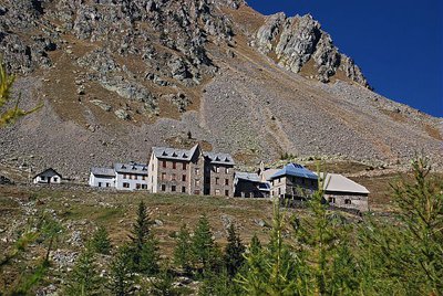
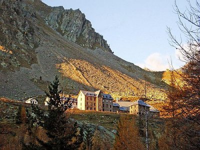
Depuis le vallon, le sanctuaire de la Madone de Fenestre en début d'automne - LEBOUTEILLER Eric History and historical trailLa Madone de Fenestre sanctuary
In the 8th century, a modest refuge already, providing accommodation for travellers. This sanctuary with its imposing forms was built by the Benedictines of Borgo San Dalmasso and destroyed by the Saracens in the 10th century. The Templars restored it in the 13th century shortly after the Virgin Mary appeared at the Grand Caire window. Subsequently, the sanctuary was devastated by fire several times and then rebuilt. Today it belongs to the diocese of Nice.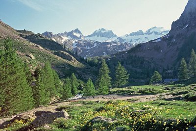
Le Gélas encore bien enneigé en fin de printemps, depuis le vallon de la Madone de Fenestre - LOMBART Guy History and historical trailCol de Fenestre mule track
This track has been used for a thousand years and was regularly maintained to allow mules transporting salt to pass with ease. The technique used to make and maintain these tracks involved self-locking stones. Identically sized slabs were arranged vertically in close lines. Fine materials were then used to hold it all in place. Gutters provided a run-off area for rainwater.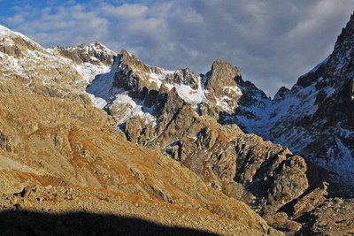
Dans l'ombre à droite le pas du mont Colomb, (2548 m). - GUIGO Franck  Geology
The scars of erosion
When they converge, runoff streams of water leave the ground bare, breaking a fragile equilibrium. In addition, footfall due to tourism damages the ground and raises the question of preservation of natural environments. Plant cover has to be maintained as it protects the ground from erosion and guarantees its stability. Restoration work has been carried out to guide and direct the hundreds of hikers who love these wild areas.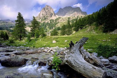
Vieille souche et portion de tronc de mélèze dans le torrent de la Madone de Fenestre face au Cayre de la Madone. - RICHAUD Philippe History and historical trailTerre de cour
The black rock marks one of the borders of the Terre de Cour, formerly a domain of the Count of Provence, before it was returned to the House of Savoy in the 14th century. Two inscriptions on the black rock provide a reminder of the past: “B” for Belvédère, “SM” for Saint-Martin-Vésubie. Terre de Cour was located exclusively in these two communes but they have to share the ancient rights to pasture and wood with Lantosque and Roquebillière.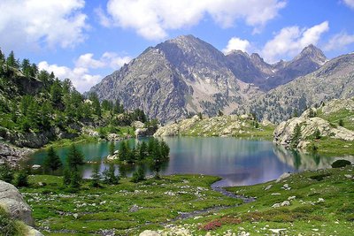
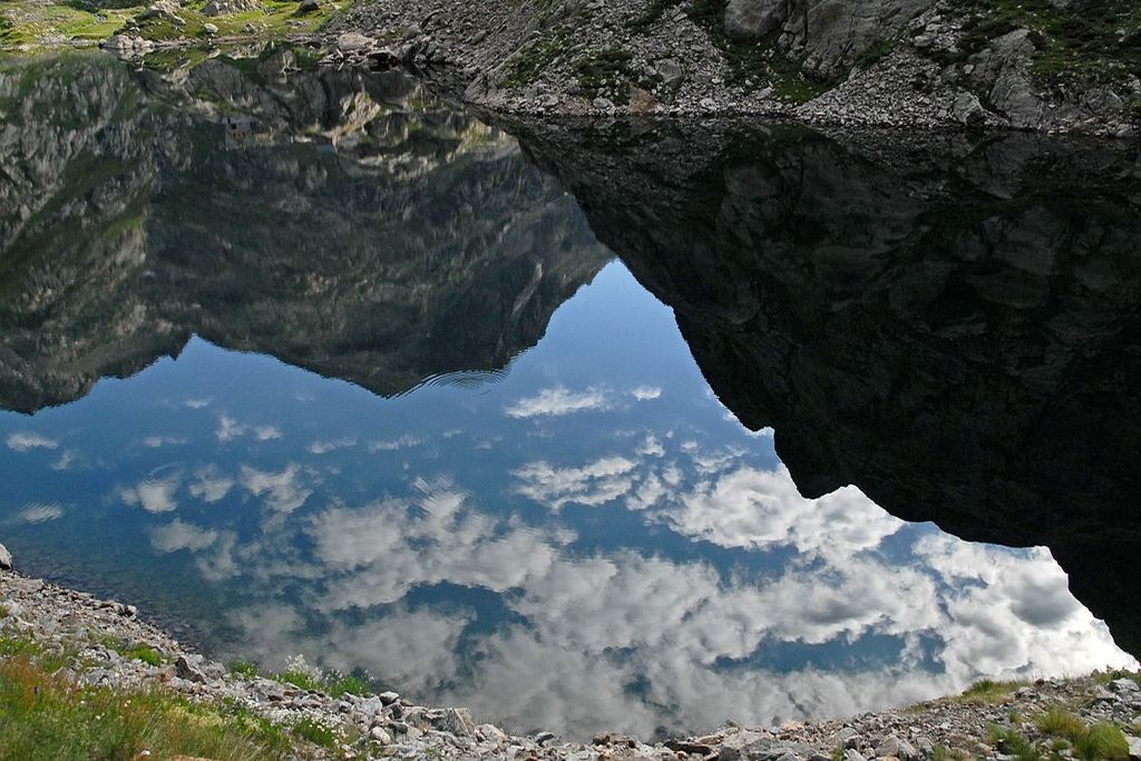
Le lac de Trécolpas en été, (2150 m) - GUIGO Franck  Know-how
Mountain climbing in the Mercantour
At the start of the 20th century, for the first mountain climbers, the Mercantour was a taste of adventure. Little by little, the summits of the chain were conquered, initially via the normal routes and then, with the arrival of modern mountain climbing, along the most difficult routes. From Victor de Cessole to Patrick Bérhault, the greatest names have been involved in climbing in the Mercantour. Today, whether they are snowy, icy or rocky, the reputation of certain routes is well established.
Description
- Departure : Nice refuge
- Arrival : Cougourdes refuge
- Towns crossed : Belvédère and Saint-Martin-Vésubie
Altimetric profile
Recommandations
Report a problem or an error
If you have found an error on this page or if you have noticed any problems during your hike, please report them to us here: