7. Grand Tour of Agentera and Vallée des Merveilles - Stage 7
3 points of interest
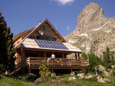
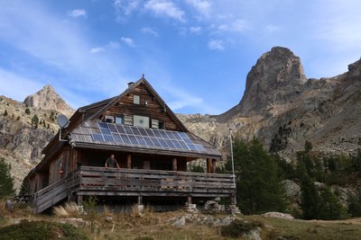
Refuge de la Cougourde - CAF / DR  Refuge
La Cougourde refuge
Club Alpin Français
Warden: June – September: Manuel Putelat
September – June: Charly Barcelo: 06 18 54 02 43
Reservations by telephone or e-mail: refugelacougourde@ffcam.fr
Refuge landline: 09 78 23 31 59
Website: http://refugelacougourde.ffcam.fr/
Useful numbers:
St-Martin-Vésubie Tourism Office: 04 93 03 21 28
Park House: 04 93 03 23 15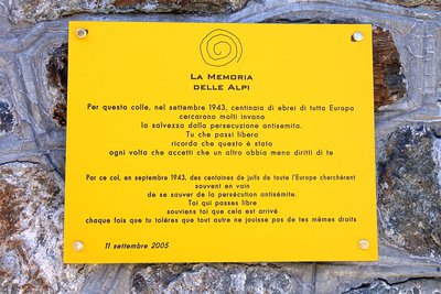
La targa commemorativa posta sulla Casermetta al COlle di Ciriegia in occasione del 25° anniversario del Parco - Roberto Pockaj  History and historical trail
Trails of Freedom
Betwee the 8th and 13th of September, 1943, just days after Italy's surrender, about twelve hundred Jewish civilians of all ages and walks of life, originating from Saint-Martin Vésubie, crossed the Alps together with the Italian troops of the IV Army Corps. On foot, following two different routes, over the Colle di Finestra and the Colle di Ciriegia, the refugees arrived, respectively, in Entracque and Valdieri, where they were housed in the barracks and wherever else possible. A plaque affixed to the wall of the barracks at Colle di Ciriegia commemorates these events.
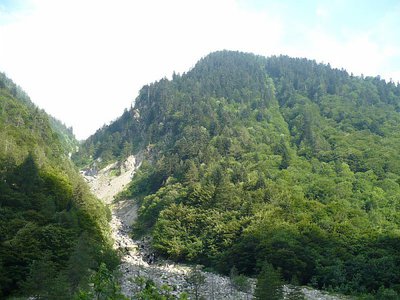
L'abetina di abete bianco - Cati Caballo  Flora
FloraThe silver fir fir
The white fir covers entire slopes in purity, since, like the beech, it takes advantage of the climatic conditions of this strip of the Alps so close to the sea. The current diffusion of this conifer, particularly within the beech woods, is in any case reduced compared to its potential, because in the past it was disadvantaged by human action to the benefit of the beech, producer of a more requested type of fuel.
Description
- Departure : Cougourde refuge
- Arrival : Terme di Valdieri
- Towns crossed : Saint-Martin-Vésubie and Valdieri
Altimetric profile
Recommandations
Report a problem or an error
If you have found an error on this page or if you have noticed any problems during your hike, please report them to us here:
Close by3
- Mountain Hut
Mountain Hut
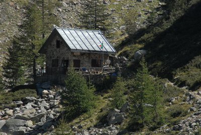
Rifugio Regina Elena
The Regina Elena Refuge, located in the Alpi Marittime Natural Park at 1,850 meters above sea level, equipped with 14 beds with use of the kitchen, operates in the summer period thanks to the voluntary work of the Members of the National Alpine Association - Genoa section. - Mountain Hut
Mountain Hut
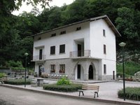
Rifugio posto tappa Gta "Savoia"
The Casa Savoia refuge (GTA stopover) is located in Terme di Valdieri, in the heart of the spa area, at 1,368 meters above sea level. It is located along the itinerary of the Great Crossing of the Alps and is the starting point of numerous excursion itineraries.

