The Azur path - A coastal walk from Menton to Eze - Stage 2
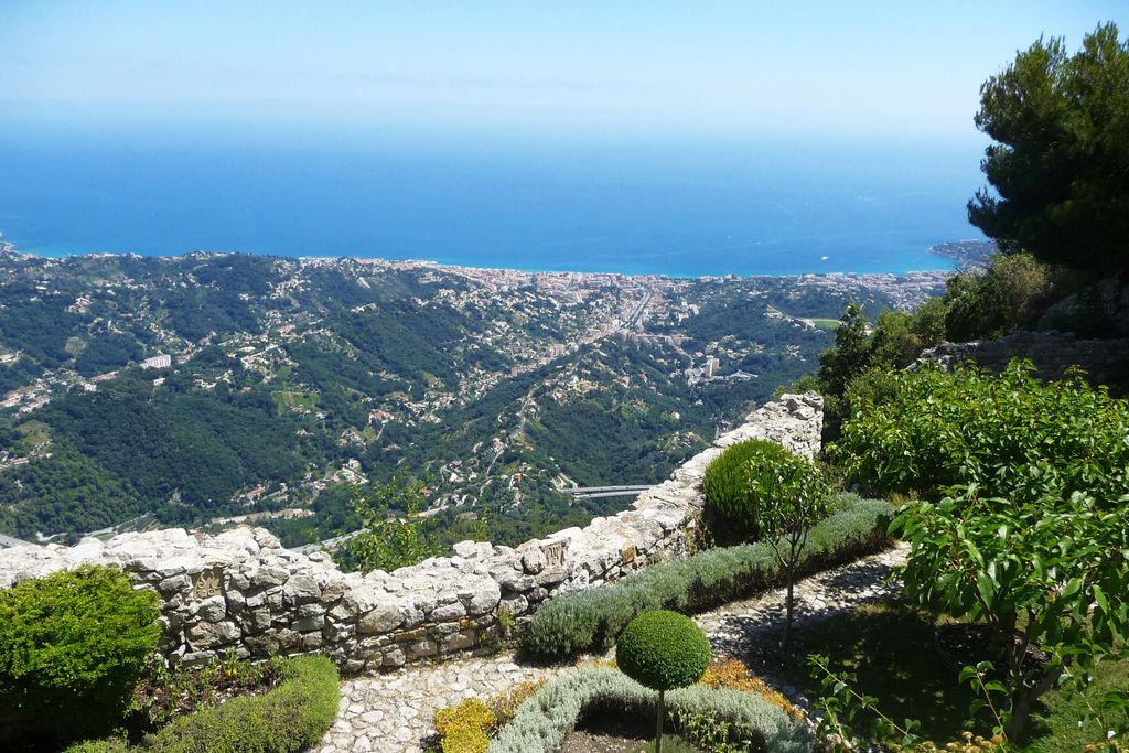
Sainte-Agnès

2. The Azur path - A coastal walk from Menton to Eze - Stage 2

Embed this item to access it offline

Description

Leave from Chapelle St Sébastien.
Take the path towards “Cime de Baudon”.

At the first intersection, turn right a follow the markers until you reach a junction “Pas de la Piastre”. Follow the conseil général signposts towards “Cime de Baudon” as well as the yellow markers until you reach the summit. Bear in mind that after Pas de la Piastre, the climb becomes steeper and the route includes a passage along a rock face and a narrow path, although they are not giddying (avoid them during damp or rainy weather). The summit is at an altitude of 1266m. Keep heading due west, staying on the airy ridge which heads towards Rocher du Pied de Jacques (north-west); just before two big electricity pylons, take a left fork (south) to begin climbing up the slope along a clever little path which leads you into the forest; head alongside the cliff and reach Col St-Bernard and the village of Peille, a pretty medieval village in the heart of the olive groves. Head in a southerly direction through the village until you reach Route de la Grave. Then head along the Faquin and follow it, still heading due south, first heading downhill and then gradually climbing to the village of Peillon (400m).
  • Departure : Sainte-Agnès
  • Arrival : Peillon
  • Towns crossed : Sainte-Agnès, Peille, and Peillon

Altimetric profile


Report a problem or an error

If you have found an error on this page or if you have noticed any problems during your hike, please report them to us here: