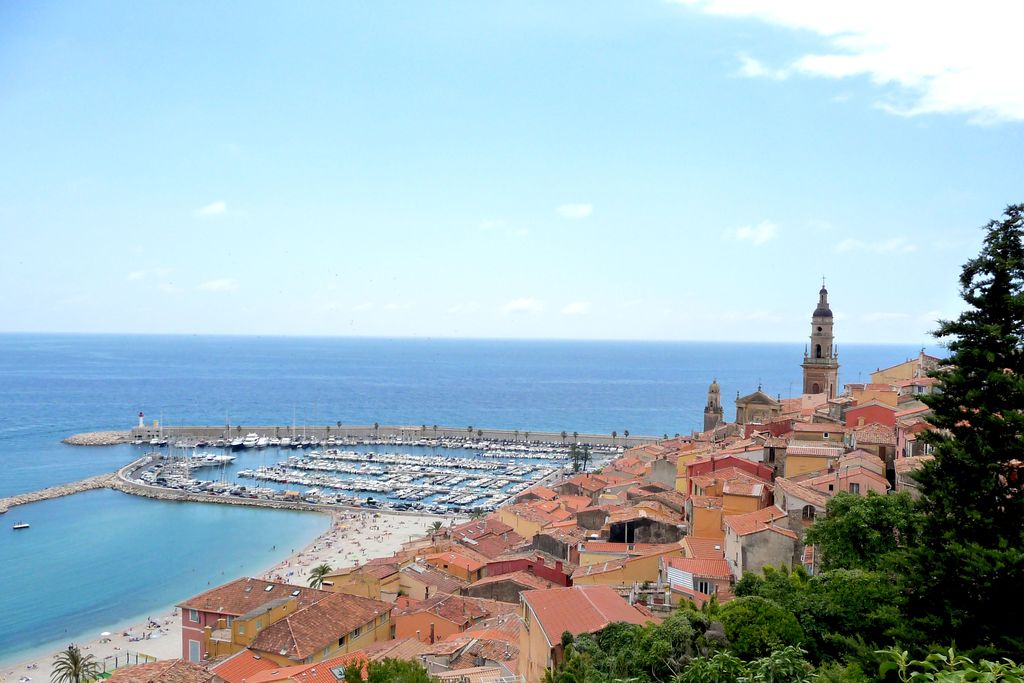
1. The Azur path - A coastal walk from Menton to Eze - Stage 1
Description
Set off from Cathédrale Saint-Michel in the heart of the old town. Take the stairways along the Colle Supérieure track, which subsequently becomes a road. Continue along the tarmac for around 1km; there are some quite steep sections at times. After a steep slope, turn right at the junction onto the Super Garavan road. After 50 metres, before the road starts heading uphill again, head along a short concrete track on your left. This is where the path begins; it is not indicated by a sign and is not very clearly defined. Head through the mini tunnel which goes under the motorway and turn right and then at the first junction turn right again. 2 sets of stairs lead you to the marked track. Head left to tackle the Maglioc ravine, first along the track then a path.
Keep climbing until you reach the Saint Roch chapel. Take the track on the left to reach the carpark, just below the village of Castellar.
From there, take the cement track with wide stairways. Go along it for a few metres then turn right onto the small path which will lead you, amid dry-stone walls and pine trees, to the bottom of the valley. 20 minutes before reaching Monti, you will cross the bridge which goes over the Careï, which is in its infancy at this stage. Head alongside the little houses, cross a small road and follow the paved alley due south.
You will then reach a main road, which you should cross and follow GR51 (white and red markers) + directions towards “Sainte-Agnès” (1 hour 40 minutes). Head upwards, first up some steps and then between a few houses. At the first junction (cross), head left along GR51 and remain on this track until you reach the big junction of tracks.
Here, turn right onto the path which is lower down and then you will find the GR markers on the left (approximately 50m) where a small path begins.
Just before the hamlet of La Virette (at the signpost), turn right, head through the ruins and continue until the bridge over the Borrigo.
Once you have crossed the latter, continue the climb along the valley, amid the dry-stone walls and then behind the water treatment facility.
At the chapel of Saint-Sébastien, reach the village along the stone-lined alley.- Departure : Menton
- Arrival : Sainte-Agnès
- Towns crossed : Menton and Sainte-Agnès
Altimetric profile
Report a problem or an error
If you have found an error on this page or if you have noticed any problems during your hike, please report them to us here: