3. Alto Tanaro Tour, stage 3: from Quarzina to Rifugio Mongioie
2 points of interest
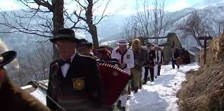
Il carnevale di Quarzina - Archivio EAM  Small heritage
J Aboi
On Monday of Carnival week , groups of young people from the hamlets of Chionea and Chioraira, wearing a black hat with coloured ribbons sewn on, or disguised as women, wandered around playing music, singing and begging through the various hamlets of Ormea. They collected food from the residents, transporting everything by donkey. The Abois, as they were called, were hosted by the local inhabitants and on Sunday they organised a banquet with what
they had collected in the previous days. This ancient tradition fell into disuse in the 1950s, following the abandonment of the villages. It was revived in 2005 and continues thanks to research carried out by the local CAI section.
[Piemonte Parchi n.163 febbraio 2007, pp.36-37]
 Fauna
FaunaThe short toed eagle
The short-toed eagle, Circaetus gallicus (from the Greek "kirkos" = falcon and "aëtos" = eagle, the adjective "gallicus" refers to that area of France called Gaul), is a very special eagle. In fact, it nourishes only of reptiles and in particular of serpents, which it searches for on the sunny slopes of the Mediterranean regions and of the Alpine valleys. His hunting technique is also particular for an eagle, because it consists in hovering motionless in mid-air, in the so-called "holy spirit" flight. Long-range migrant, it is a species native to Africa.
Description
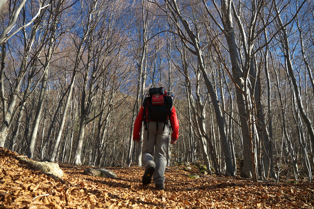
From the Quarzina Refuge (about 1319 m), go up towards the center of Quarzina (1326 m) and then turn left (west) on the asphalt road leading to La Colma and covered in the previous stage.
At the first bend (to the right) go straight ahead on the dirt road. When the road turns right and forks, stay to the left, crossing slightly uphill to Biranco (1437 m, 0:35 mins from Quarzina).
At the entrance to the village leave the dirt road and continue on the mule track that leads off to the left.
The mule track enters the wood, crosses a dirt track and continues as a path to Merea (1222 m, 0:30 mins from Biranco, fountain).
Drop down to the dirt road below and follow it to the right, to Fasce (1235 m).
Stay on the road, cross the Rio Borgosozzo and its tributary, then you reach a fork, where you take a right uphill.
At the first junction leave the dirt road and turn right, along the Costa del Baraccone. Shortly after, take the path that comes off to the left, returns to the woods and reaches a clearing, Pian della Madonna, home to a tiny little chapel.
Now, on a wide mule track, you climb again through the pine forest to a logging track. Go left, to meet a dirt road, where you go to the right rising to Celle di Pian del Fo (1412 m, 1:25 hours from Merea).
Continue on a mule track to a junction, where you go left. The path crosses a tributary of the Rio Bianco on a concrete weir, then enters the beech forest. Follow the waymarking on the tree trunks going up to another junction: here you follow the path to the left that, after an undulating traverse leads you to ford the Rio Bianco.
Past the narrow gully, you are now on a mule track that after a long traverse passes a ridge.
You reach some ruins among terraced meadows where, at a fork, you keep on the muletrack to the right. Cut across the gentler slopes of Pian dell'Arma, then follow the path to another junction, where you turn left.
The path becomes narrower, climbs and then crosses steep slopes again to Pian Rosso. Shortly you enter the well-trodden path that rises from Viozene: heading slightly to the right you arrive at the nearby Rifugio Mongioie (1550 m, 2:00 hours from Celle di Pian del Fo).
- Departure : Quarzina (1326 m)
- Arrival : Rifugio Mongioie (1550 m)
- Towns crossed : Ormea
Altimetric profile
Access and parking
Report a problem or an error
If you have found an error on this page or if you have noticed any problems during your hike, please report them to us here:
Close by2
- Mountain Hut
Mountain Hut
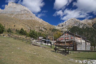
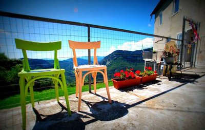
Rifugio Quarzina 1332 m
The Quarzina Mountain Hut is located in the heart of the Ligurian Alps, at the foot of Pizzo di Ormea.
Situated in the village of the same name, which is accessible by car year-round, it offers breathtaking views of the Tanaro Valley, Colle di Nava, all the way to the Ligurian Sea, and sometimes even Corsica.