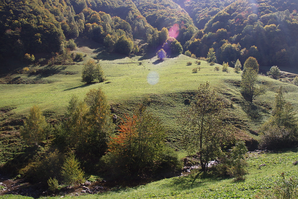
Tetti Creusa
Description
From the small paved parking area at the edge of Tetto Folchi (1020 m), the route follows the road towards Vernante, taking the paved road that leads uphill to the right almost immediately.
At the second turn, the route leaves the paved road, which continues on to Tetto Foss, and follows a comfortable dirt road leading in a southeasterly direction. The road climbs slowly above Tetto Folchi, then, after crossing the bridge over the Rio della Valletta, becomes slightly steeper in a series of broad switchbacks. The route passes by a turnoff on the right for the nearby Tetti Giacolinet and, having passed by another small cluster of houses on the left side of the road, emerges from the woods for a tract and follows the perimeter of a wide pasture hollow in a semicircle.
Re-entering the woods, the route passes by a mule track on the right, the unpaved track on the left leading to the ruins of Tetti Marun, and the trail on the left for Vernante (signpost). At this juncture, the dirt track continues over a ridge and enters the Vallone di Creusa.
An extremely long southward traverse at mid slope passes by a turnoff on the right for the ruins of lower Tetti Turnet; the route then veers to the southwest and continues on through woods and open grassy slopes for another kilometer. A switchback inverts the direction and, in a nearly level stretch, the track leads back to the edge of the hamlet of Tetti Creusa (1385 m, 1 hour and 30 minutes from Tetto Folchi).
The hamlet is just a few meters off; the road instead curves back to the left and continues on uphill to the lower Gias Creusa.
- Departure : Tetto Folchi di Vernante (1020 m)
- Arrival : Tetti Creusa (1385 m)
- Towns crossed : Vernante
Altimetric profile
Access and parking
Report a problem or an error
If you have found an error on this page or if you have noticed any problems during your hike, please report them to us here:
