2. 3 refuge walk - Stage 2
3 points of interest
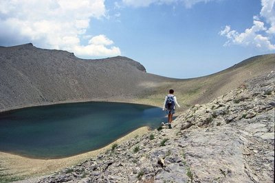
Le lac des Garrets, (2621 m), le Lausson, randonneur. Paysage très minéral. - DEMONTOUX Daniel  Lake
LakeLac des Garrets
The lake incurs the ramifications of its high altitude. The high level of evaporation in the summer sees it shrink, giving it the characteristic shape of a wine glass in autumn. The freezing weather which causes it to “hibernate” for nearly 8 months a year, would appear to prevent life from surviving in it. However, an energy-capturing phytoplankton began developing there, opening the way to life in the mountain lakes.
Here, however, life halted at the plankton stage. The rare organic matter is used by an inactive lifeform. Given that the lake is “cleaned” in this fashion , the waters of this oligotrophic lake are clear, despite it being stagnant.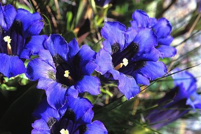
Gentiane de Koch en gros plan, (Gentiana kochiana). - LOMBART Guy  Flora
FloraFrom one cairn to another
A bare, secretive and fascinating environment: From Pas du Lausson to Col de la Petite Cayolle, these are the high mountains. The décor is rocky and grass is thin on the ground. This is also the stronghold of audacious plants. In order to protect themselves against the hostility of the climate, they are small and perennial, often with large and colourful flowers.
This vegetation which, highly adapted to climatic hardships, is fragile and of exceptional value. Plants which can be found here include the spring gentian, moss campion, glacier crowfoot, the stemless gentian, Alpine toadflax…, but also certain endemic species like Berardia subacaulis and Campanula allionii.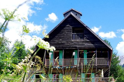
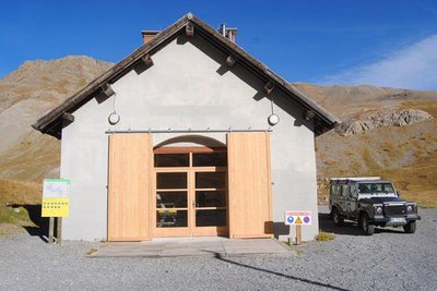
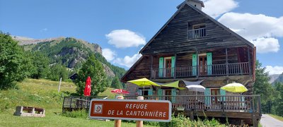
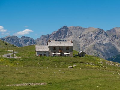
Refuge de la Cantonnière - Refuge de la Cantonnière  Refuge
La Cantonnière refuge
The history of the refuge is closely linked with the Route des Grandes Alpes connecting Lac Léman with the Mediterranean. It was built in the early 20th century by the French Touring Club with the very rudimentary means of the period by Italian workers, for whom the imposing Cantionnière house was built.
Accessible in summer 1913 to the few automobiles which were around at the time, the road was to be inaugurated by President Poincaré in August 1914. But the declaration of war deprived the people of Entraunes of this visit.
The building today serves as a refuge and has been fully renovated by Mercantour National Park.
Capacity: 36 in dormitories of 2, 4, 5 and 18.
Prices and opening periods: http://lacantonniere.wixsite.com/refugelacantonniere
Tel: 04.93.05.51.36
E-Mail: lacantonniere@gmail.com
Description
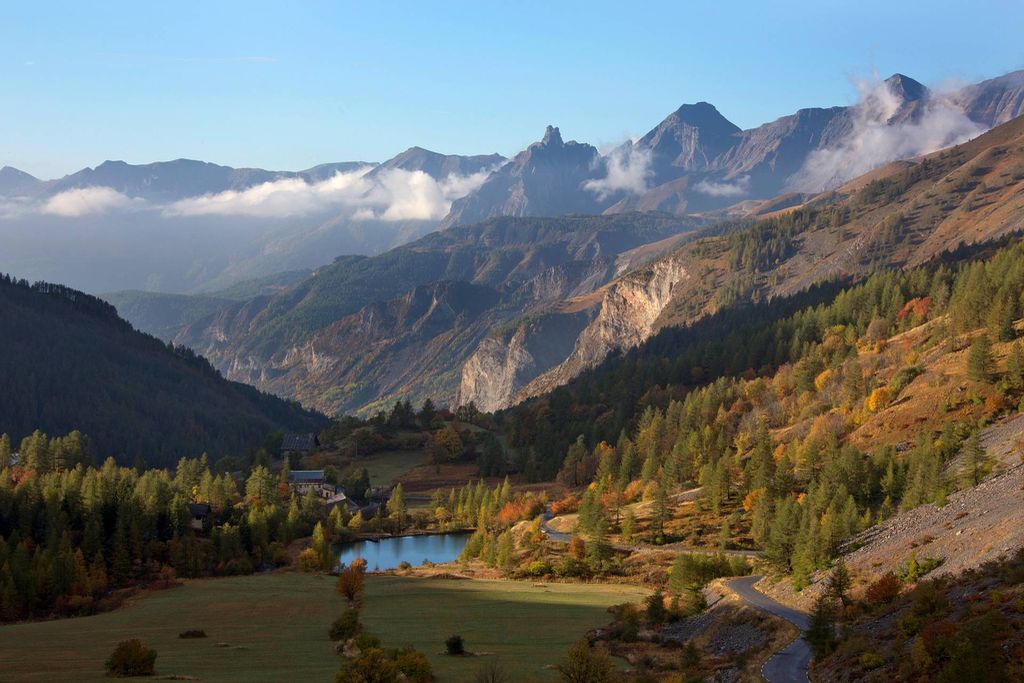
Head through the Alpine prairie to reach Col de la Cayolle, around 20 minutes’ walk away. Integrated developments have been carried out by the National Park, with the aim of restoring this site to its natural splendour. Towards the south the Val d'Entraunes, the Alpes Maritimes, Nice and the Mediterranean. Head west towards Col de la Petite Cayolle. Lower down, strange grid patterns in the grass show the work carried out by humans almost a century ago to counteract the devastating erosion process. Head carefully up Col Petite Cayolle (2639m) because there can still be a snow patch there even in summer. The Haut-Verdon valley then comes into view, with the turquoise colour of La de la petite Cayolle in the foreground. Take some time to look for the mouflons dozing in the middle of the screes on the Trou de l'Aigle or the summit of Les Garrets. Subsequently, follow the itinerary which deviates to the left towards Pas du Lausson. Go around the Lac des Garrets on the left and then continue along the ridge until you reach Pas du Lausson. A few metres away, a marker has been carved into a rock, showing that the area is also rich in human history. After having admired Lac d'Allos on the edge of the plateau, begin the descent on the Var side, towards Estenc. You will then successively cross three valleys, with Bérardies and Campanules in the Lausson valley and Centaurées, Potentilles and Pédiculaires in the valley of Les Fournées. In the Les Garrets cirque, a herd of chamois often grazes high up the grassy slopes, while kestrels often soar close to the sandstone cliff which the path runs alongside. There, take the right fork towards Estenc (marker 294). In a hairpin bend, the spectacular view over the rolling Col de la Cayolle road is an opportunity to contemplate the enormity of the work which took place before 1914. Reach the larch forest, where the sound of cow bells generally accompanies hikers as they head to the bottom of the valley. Then go past the Les Garrets forest house and turn right at marker 293. Lower down, go under the bridge which carries the La Cayolle road and reach the entrance to the National Park.
Finally, follow the road for 200m to reach the refuge of Lla Cantonnière, an imposing sandstone building with a larch shingle roof which was built when the road was developed.- Departure : La Cayolle refuge
- Arrival : La Cantonnière refuge
- Towns crossed : Uvernet-Fours, Allos, and Entraunes
Altimetric profile
Recommandations
Information desks
Ubaye Tourisme / Office de tourisme d'Uvernet-Fours (Pra Loup)
Maison du Tourisme, 04400 Pra Loup
Horaires
Saison été• Tous les jours de 9h à 12h30 et de 15h à 18h30
Saison hiver
• Tous les jours de 9h à 19h
Intersaison jusqu'au 5 juillet inclus
• Du lundi au vendredi de 9h à 12h et de 14h à 18h
Fermeture
• Du 27 avril au 5 juin inclus
• Du 21 septembre au 16 octobre inclus
Access and parking
Directions from Nice:
Go up the Var valley on the N202 (Route de Grenoble), going via St Martin du Var, Plan du Var and Puget-Théniers.
6km after Entrevaux, turn right onto the D2202 towards Col de la Cayolle. Go through Guillaumes, St Martin d'Entraunes, Entraunes and then the hamlet of Estenc. Follow directions for Uvernet-Fours and Barcelonnette.Parking :
More information
Report a problem or an error
If you have found an error on this page or if you have noticed any problems during your hike, please report them to us here: