3. 3 refuge walk - Stage 3
Description
Go up the road all the way to the National Park entrance, then follow direction for Les Cabanes de Sanguinière. The path heads up the mountain stream, crosses the road in a forest of mountain pines and larches twice. The cirque of Sanguinière then opens up to hikers. It has always been used for pastoral purposes and it has been an experimental site since 1981.
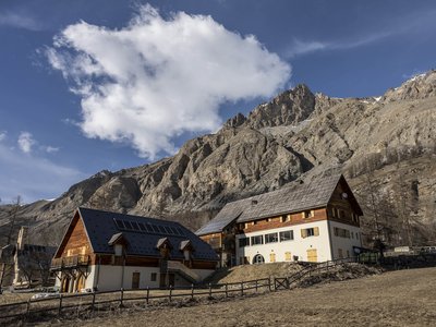
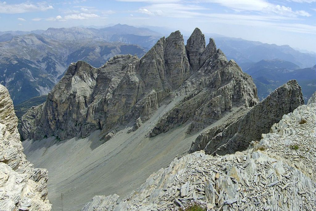
After the second hut, turn left (marker 287) towards Col de la Boucharde. The larch forest contains elder-flowered orchids and Gymnadenia nigra with their delightful scents, while the presence of the great spotted woodpecker can be seen due to the holes they have drilled into the bark of the oldest trees. At Rocher Camembert, a huge boulder split in two by the cold, turn right; don’t forget to enjoy the panoramic view over the valley and the stacks of Pelens. The path goes through Alpine pastures and larch forest, soon revealing a typical geomorphological rocky landscape. The yellow tufts of bird’s-foot trefoil and groundsel add a note of poetry. There is a view over Fort Carra and its rectangular summit shape to the south-east and the dome of La Tête de Sanguinière to the east. Heading north, you will reach the Bachelard valley, via an itinerary which heads along the slope through a larch forest whose natural regeneration is involved in a permanent struggle against the avalanches along the ravine. There is a panoramic view over the valley and in the opposite direction over the Grande Cayolle valley, which you went through on the first day of this walk. Go over the Bachelard mountain stream and reach the road. Follow it downstream until the bridge then take GR56 and admire the waterfall at the edge of the road a little further along. The GR then crosses the road close to a third bridge, one of the finest pieces of work along this route. Head alongside the mountains stream with a gentle slope towards Bayasse, over which towers the imposing mass of Ventebrun, where the ibex introduced by the National Park in 1989 live peacefully.- Departure : La Cantonnière refuge
- Arrival : Bayasse refuge
- Towns crossed : Entraunes and Uvernet-Fours
Altimetric profile
Access and parking
Directions from Nice:
Go up the Var valley on the N202 (Route de Grenoble), going via St Martin du Var, Plan du Var and Puget-Théniers.
6km after Entrevaux, turn right onto the D2202 towards Col de la Cayolle.
Go through Guillaumes, St Martin d'Entraunes, Entraunes and then the hamlet of Estenc.
The refuge of La Cantonnière is located 800m after you leave the hamlet of Estenc, on the roadside to your left. (6km before Col de la Cayolle).Parking :
More information
Report a problem or an error
If you have found an error on this page or if you have noticed any problems during your hike, please report them to us here: