1. The finest Ligurian villages - Hike from Airole to Dolceaqua - Stage 1
Description
From the bus stop or the station, go to the square in the centre of the village then take the little lane which heads uphill and out of the country. There is a direction sign on the front of the bar/tobacconist. At the next fork in the path at the signpost, continue straight on towards “Rocchetta”. The path heads uphill, going around a scree (dangerous section). After having gone around the obstacle, your route goes downhill and first reaches Careghin (277m). It heads across Rio della Gatta* and, after going alongside the river which forms a small gorge for a few metres, the path rises on the opposite slope (400 m). Continue to head uphill towards the south (towards Mont Abelliotto) and reach “Bassa dell'Abellio” or “Sella dei due Abelli” (752 m).
*This zone cannot be crossed when during flood conditions or when there are heavy rains. In this case, to reach the downhill section towards Rocchetta Nervina you will need to head towards “Case Faceo” (altitude 633m, 1 hour 30 minutes signpost) from the first intersection as you leave the village on the AsF path and then head towards “La Croix de Sapelea” (835m) and join the Alta Via des Monts Ligures track. At the intersection, turn right and follow this track to the ruins of a drinking trough which marks the beginning of a marked path leading to the village of Roccheta.
From here, you will begin to head downhill towards Rocchetta-Nervina. You will reach a military track (AV) by way of a wide path leading downhill. At the intersection with the following track, follow the way to the right for about 700 metres (heading south-west) until you reach a drinking trough. An element which makes this intersection with the downhill path stand out. Leavethe military track and take the marked path along the wall which cuts across the “Campi Cunio”, heading in a north-westerly direction. In the Di Figorni valley, cross the brook and head uphill until you reach a wide track (194m). Continue along this track and, a kilometre further on, turn right onto the path which runs quickly downhill to the village of Rocchetta (216 m).- Departure : Airole
- Arrival : Rocchetta Nervina
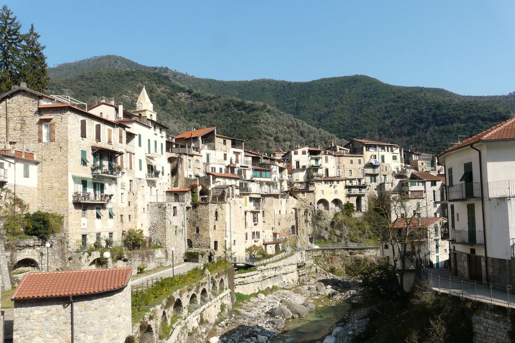
- Towns crossed : Airole, Dolceacqua, and Rocchetta Nervina
Altimetric profile
Report a problem or an error
If you have found an error on this page or if you have noticed any problems during your hike, please report them to us here: