The Wolf Trail - Argentera & Mercantour - Stage 1
Entracque
1. The Wolf Trail - Argentera & Mercantour - Stage 1
Medium
Difficulty4h30
Duration17,2km
Distance+1052m
Positive Elevation-123m
Negative ElevationWalking breaks
Course typeEmbed this item to access it offline
3 points of interest
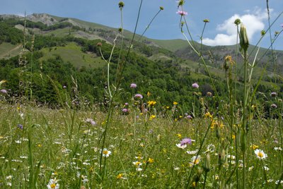
Prateria fiorita di fondovalle - Cati Caballo  Flora
FloraThe grasslands of the valley floor
Despite what one might think, the grasslands that occupy the valley floor are not very stable environments. Their presence and appearance strictly depend on the intensity of the cultivation treatments carried out: grazing and mowing, irrigation and fertilization interventions clearly influence their floristic composition. Mowing in particular has the function of counteracting the return of the forest, which advances, slowly but inexorably, whenever human intervention is lacking.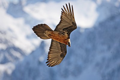
Un gipeto in volo - Michelangelo Giordano  Fauna
FaunaThe bearded vulture
The bearded vulture (Gypaetus barbatus), also known as the lamb vulture, has a wingspan that can reach 285cm and can weigh more than 6 kilos. An accomplished glider, it can exploit even the mildest ascending thermals. It is a carrion eater, feeding exclusively on carcasses of dead animals, ungulates for the most part, both wild and domestic. It consumes bones, cartilage and ligaments, and is known to drop bones from great heights in order to break them into manageable pieces. Monogamous and long-lived, the bearded vulture nests on rocky cliff faces at altitudes beween 1,000 and 3,000 meters.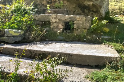
I resti di una cucina da campo nei pressi del Piazzale dei Cannoni - Roberto Pockaj  History and historical trail
The Piazzale dei Cannoni
The name Piazzale dei Cannoni, or better still, Piana dei Cannoni, is due to the presence there of the 181st Artillery Battery, armed with 210/8 mortars, during the Second World War. The mortar emplacements are just south of the dirt road, along the slope, but they are not easy to spot. On the opposite side of the valley, across the torrent, there are the remains of probable logistical outposts and even an open-air kitchen.
Description
Visit the Uomini e Lupi centre in San Giacomo d’Entracque. Afterwards, head towards the north. A signposted path heads away to the left towards the village of Entracque. Go through the village and turn left onto the road that rises through a series of hairpin bends towards Lac de la Piastra. After the lake, continue on the road to the left on the marked GTA itinerary towards San Giacomo. From the hamlet of San Giacomo d’Entracque (1226m), head up the hairpin bends of the track to Vallon de la Barra and you will reach Piazzale dei Cannoni esplanade. Do not take the bridle path on the left towards Gias de la Siula and instead continue along the track. Do not take the diversion towards Col de Fenestrelle and follow the bridle path to the bridge of Piano del Praiet; this well avoid you having to ford the river. Do not take the path on the left and instead continue towards the south on the uphill path which reaches the Ellena-Soria refuge (1820 m).
- Departure : Uomini e Lupi centre
- Arrival : Soria refuge
- Towns crossed : Entracque
Altimetric profile
Report a problem or an error
If you have found an error on this page or if you have noticed any problems during your hike, please report them to us here:
Close by3
- Mountain Hut
Mountain Hut
Rifugio escursionistico S. Giacomo e Baita Monte Gelas
Structure open only in the summer season.
The Baita Monte Gelas was born in 1953 thanks to Giovanni Gerbino and Caterina Mellano. Since then our family has been offering hospitality and refreshments to visitors to the upper Gesso Valley.

