7. Alto Tanaro Tour, stage 7: from Colle di Nava to Rifugio Pian dell'Arma
1 point of interest
Bocchino di Semola - Archivio EAM  Mountain pass
Migration over the Bocchino di Semola
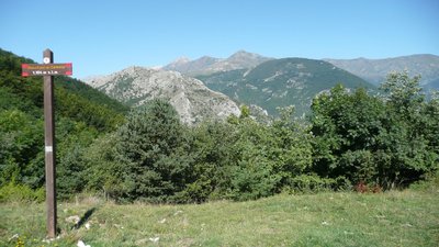
Migratory birds make long journeys between nesting sites and wintering sites. Many migratories reach Europe from Africa in March, some using the position of the sun and the mountain ranges as a reference (diurnal migration), and some the moon and stars (nocturnal migration). The return journey takes place in the months of September and October. The Bocchino di Semola is an important passage in the migratory routes that cross the border between Liguria and Piedmont.
[On-site information panel, text by Fabiano Sartirana]
Description
At the bottom of the Forte Centrale car park at Colle di Nava (939 m), take the small tarmac road that passes alongside the sports facilities.
At the first fork keep to the left, a little further on at the second, take a surfaced road to the right that goes up to a riding school. Continue to the right on a path that climbs into the woods and comes out onto the asphalt road to the Colla San Bernardo.
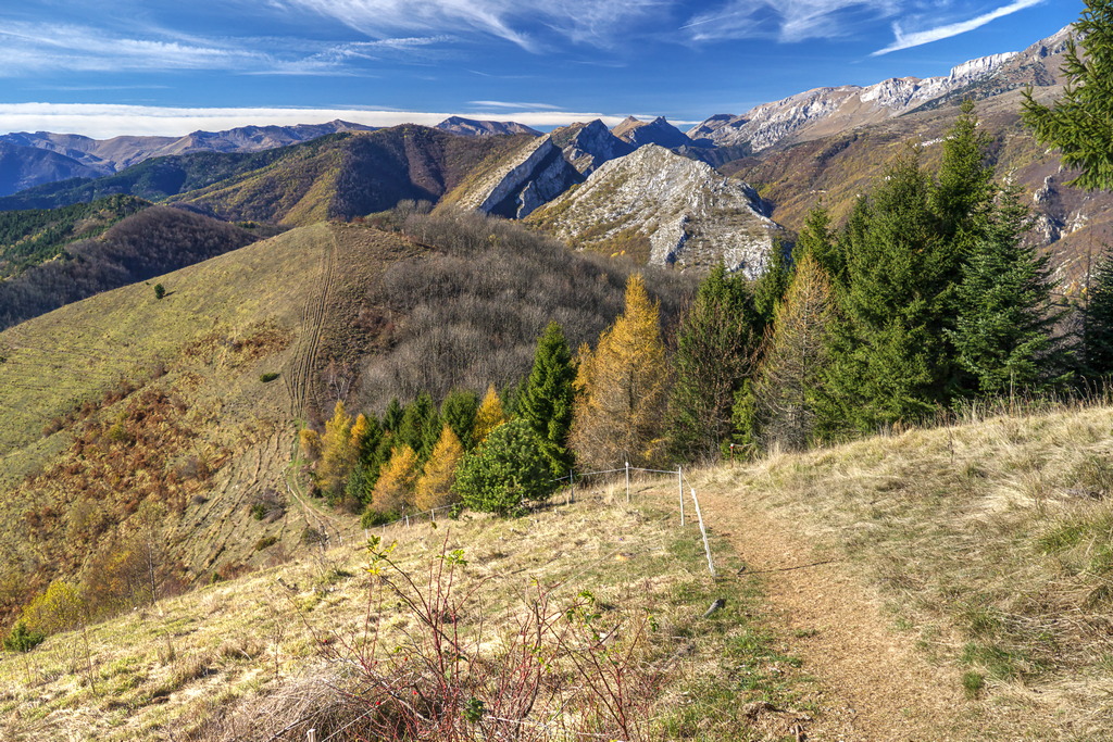
Go right until the first hairpin bend, where you take the dirt road that goes straight ahead. The ascent through the woods is long and with moderate gradients: when you reach the second clearing take a path that in a few minutes takes you onto Monte Ariolo (1221 m, 1:15 hours from the Colle di Nava). A short descent leads back to the dirt road, where it ends. Continue east on the ridge, first rising and falling, then descending steeply to the Bocchino di Semola (1102 m, 0.20 mins from Monte Ariolo). Ignoring the roads that cross the pass, stay on the ridge path.
The path rises fairly steeply up to the nearby peak of Bric Castagnino (1215 m), then descends to the pass below and resumes the tiring climb up to the next high point. Pick up a grassy track here: following it to the right you arrive at the Passo di Prale (1267 m approximately, 0:55 mins from the Bocchino di Semolina).
Once again you ignore the various dirt roads that converge here and stay on the path, climbing to the nearby tarmac road to the Colle di Caprauna.
Cross it and take the path that enters the larch wood. Just above you find the asphalt road again, which you follow to the left until after a hairpin, where you take the path on the left. The path leads onto a dirt track and goes left. At this point there are two junctions close to each other: at the first go to the right, at the second turn left.
A sort of mule-track rises steeply and joins the easier grassy mule track coming from Colle di Caprauna. Follow it to the left to a nearby junction, where you turn right. After a short descent the mule track narrows to a path and, ignoring various branches off to the side, you come to the back of the Pian dell'Arma Refuge (1339 m, 0:45 mins from the Passo di Prale).
At the bottom of the Forte Centrale car park at Colle di Nava (939 m), take the small tarmac road that passes alongside the sports facilities.
At the first fork keep to the left, a little further on at the second, take a surfaced road to the right that goes up to a riding school. Continue to the right on a path that climbs into the woods and comes out onto the asphalt road to the Colla San Bernardo.
Go right until the first hairpin bend, where you take the dirt road that goes straight ahead. The ascent through the woods is long and with moderate gradients: when you reach the second clearing take a path that in a few minutes takes you onto Monte Ariolo (1221 m, 1:15 hours from the Colle di Nava). A short descent leads back to the dirt road, where it ends. Continue east on the ridge, first rising and falling, then descending steeply to the Bocchino di Semola (1102 m, 0.20 mins from Monte Ariolo). Ignoring the roads that cross the pass, stay on the ridge path.
The path rises fairly steeply up to the nearby peak of Bric Castagnino (1215 m), then descends to the pass below and resumes the tiring climb up to the next high point. Pick up a grassy track here: following it to the right you arrive at the Passo di Prale (1267 m approximately, 0:55 mins from the Bocchino di Semolina).
Once again you ignore the various dirt roads that converge here and stay on the path, climbing to the nearby tarmac road to the Colle di Caprauna.
Cross it and take the path that enters the larch wood. Just above you find the asphalt road again, which you follow to the left until after a hairpin, where you take the path on the left. The path leads onto a dirt track and goes left. At this point there are two junctions close to each other: at the first go to the right, at the second turn left.
A sort of mule-track rises steeply and joins the easier grassy mule track coming from Colle di Caprauna. Follow it to the left to a nearby junction, where you turn right. After a short descent the mule track narrows to a path and, ignoring various branches off to the side, you come to the back of the Pian dell'Arma Refuge (1339 m, 0:45 mins from the Passo di Prale).
- Departure : Colle di Nava (939 m)
- Arrival : Rifugio Pian dell'Arma (1339 m)
- Towns crossed : Ormea
Altimetric profile
Transport
Riviera Trasporti Piemonte S.r.l.
Viale Piaggio 38 - 12078 Ormea (Cn)
Telefono Centralino: 0183.7001
Contatti e-mail http://www.rtpiemonte.it/index.php/contatti-azienda
Orari http://www.rtpiemonte.it/Upload/Orari/202.pdf
Access and parking
Report a problem or an error
If you have found an error on this page or if you have noticed any problems during your hike, please report them to us here:
Close by1
- Mountain Hut
Mountain Hut
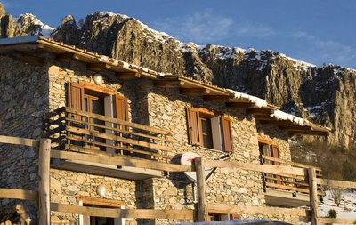
Rifugio Pian dell’Arma
From its 1350 m above sea level, the Refuge offers a breathtaking view of the Ligurian Sea and the cliffs of Rocca dell'Arma. From here, with short walks, the Monte is added
Armetta and the Madonna della Guardia, from which the view embraces the Marguareis Natural Park, the splendid beginning of the western Alpine arc.