6. Alto Tanaro Tour, stage 6: from Upega to Colle di Nava
Description
From the center of Upega (1280 m) go down to the village carpark (Viozene side) and take the dirt road to the right of the provincial road that runs along the Negrone.
Cross the torrent on a wooden bridge to pick up a mule track that fords a stream and turns into a path. The trail curves to the right, crosses the Rio Pian Cavallo bridge and goes up through the thick beech wood to Colla Bassa (1549 m, 1:15 hours from Upega).
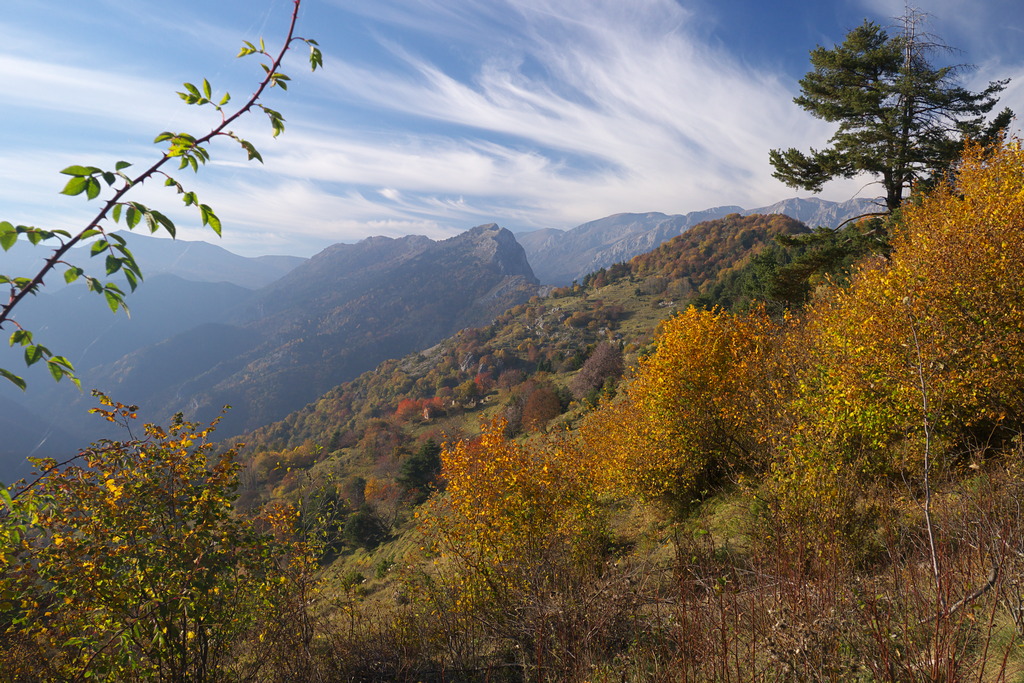
Turn left and after a panoramic traverse of over a mile you descend to cross a stream among rocks. You enter a sparse larch grove, then a flat stretch leads to a not very evident fork, where you follow the waymarking to the right.
The path down here is rather steep, and in places it is rocky and overgrown: at a junction take the right towards Nava, passing by a shrine, through a pine grove and finally reaching the ruins of Dova soprana (1334 m, 1: 05 hours from Colla Bassa).
Ignore the path to the Cappella di S.Bernardo and go down to the left on a mule track in a steep gully. Once out of the valley, the mule track comes out on a dirt road, which you follow to the left. The track follows the Rio Tanarello and reaches the Schiarante Bridge (951 m, 1:00 hour from Dova soprana).
Leave the track and cross Rio Tanarello on the bridge to the right.
{In October 2016 the junction was not signposted.}
Beyond the bridge, go up to the left in the beech forest, the path is extremely steep with hairpin bends. The tiring climb takes you over the ridge that descends from Bric Cornia. {In October 2016 the vertical and horizontal signage ended here.}
An undulating path crosses the hillside, across steep slopes, then gets lost among terraced meadows. Maintaining your height you reach the ruins of Tetti Cornia (1404 m, 1:45 hours from the Schiarante Bridge).
Beyond the ruins you will find a grassy mule track and follow it on the level to the right (east), to a dirt track near the Chapel of the Madonna dei Cancelli (1438 m, 0:20 mins from Tetti Cornia). Carry straight on the dirt road that goes south to reach a clearing: fifty yards ahead take a path on the right that leads to the Fort Montescio (1432 m, 0:20 mins from the Chapel of the Madonna dei Cancelli).
Follow the dirt road towards the fort to the first bend, where you take the second path on the right. Descend along the ridge for a long time in the dense pine forest, then we hook up with the Alta Via dei Monti Liguri path.
{At this point the hiking signs reappear.}
Shortly you arrive on a dirt road to the right that leads to the provincial road from Nava. Take the path opposite (by an electric pylon) and at the first crossroads continue straight ahead.
The path meanders along the hillside and leads to a dirt track. The track continues on level ground in the woods and comes out behind the Forte Pozzanghi (1120 m, 1:05 hours from Forte Montescio).
On the opposite side of the fort there is a trail that goes down into the woods with some hairpin bends. At a clearing near a large tank, turn left and go down a dirt track to Colle di Nava (939 m, 0.20 mins from Forte Pozzanghi).
- Departure : Upega (1280 m)
- Arrival : Colle di Nava (939 m)
- Towns crossed : Briga Alta and Cosio di Arroscia
Altimetric profile
Access and parking
Report a problem or an error
If you have found an error on this page or if you have noticed any problems during your hike, please report them to us here:
Close by1
- Mountain Hut
Mountain Hut
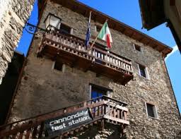
Rifugio La porta del Sole
The building has been completely renovated maintaining the original architectural features. Note the completely slate roof, the stone exterior and the wooden interior. A few meters from the refuge is the Saradin campsite, jointly managed with the refuge.
The refuge is located in the characteristic village of Upega, immersed in the uncontaminated environment of the upper Tanaro valley, at the foot of the Marguareis massif.