
L'anello delle cascine
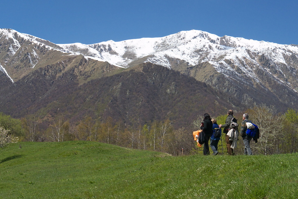
A pleasant walk, mostly in dense woodland, the tree species change as the route changes exposure across the valleys. The ridge at Cascina San Michele is rather panoramic. Interesting to imagine the land management in the days of the Carthusian monks, with the numerous farms scattered around the valley.
1 point of interest
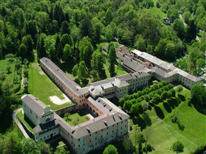
Certosa di Pesio - gianluca.giordano  History and historical trail
The management of natural resources at the time of the Certosa
The Vallone del Cavallo and the Vallone di San Bruno were used in the past for the supply of timber and for the production of charcoal. As evidence of the work of the Carthusian friars, who governed all the agro-forestry-pastoral activities of the upper valley, one can still find stones stuck vertically into the ground and marked with the red cross of the Certosa, used to delimit the boundaries of the various wooded plots.
Description
From the entrance to the Charterhouse - Certosa di Pesio (843 m, drinking fountain) continue eastwards, on the paved road that runs along the perimeter walls. Pass by the "Sentiero Naturalistico" to Pian delle Gorre on the right.
Pass a ruin on your left; then, at the first left-hand hairpin turn, leave the paved road and continue straight ahead on the forest trail that leads into the Vallone del Cavallo, heading toward the Gias sottano del Baus 'd l'Ula.
A short distance further on, you’ll come to a dirt road, which you follow to the left. The road soon reaches a fork, where you turn left again.
Cross the narrow watershed again and return to the Vallone di San Bruno, then traverse for a long stretch toward the northeast through the dense forest. The trail gains elevation with a few switchbacks (ignore the less obvious side branches in this section); then,
with a long traverse toward the southwest, still through the woods, you re-enter the Vallone del Cavallo. Another series of wider turns leads to the small Gias below Baus 'd l'Ula (1284 m, 1 hour and 35 minutes from Certosa di Pesio), located right along the watershed between the two valleys visited so far.
At the gias take the easy path on the left that passes in front of the building. With slight ups and downs the path crosses steep slopes covered by firs and beech trees, then fords the stream in the Vallone di San Bruno.
Now begins a long stretch in slight descent that leads to Pra da Turta. Here you turn left, descending along the watershed to the nearby Cascina San Michele (1125 m, 0:40 mins from Gias sottano del Baus 'd l'Ula), which was recently converted into the cozy San Michele Mountain Lodge.
Ignoring the small paved road on the left that leads to the mountain hut, continue along the wide, flat grassy ridge until you re-enter the woods. The trail, well marked with trail markers on tree trunks, descends fairly quickly and reaches Cascina San Paolo (1035 m, 0:15 hours from Cascina San Michele), which has been partially restored.
At the farmhouse, join a small paved road ascending from the valley and follow it to the left. The dirt road first descends through the deciduous forest, then, after a couple of wide hairpin turns, reaches another small paved road near the water source of the Vallone di San Bruno.
Turn right and, ignoring various unpaved side roads, follow the paved road until you easily return to the Certosa di Pesio (843 m, 0:30 hours from Cascina San Paolo).
- Departure : Certosa di Pesio (843 m)
- Arrival : Certosa di Pesio (843 m)
- Towns crossed : Chiusa di Pesio
Altimetric profile
Recommandations
Access and parking
From Chiusa Pesio go up the Valle Pesio to the Charterhouse - Certosa di Pesio. Large car park available.
Report a problem or an error
If you have found an error on this page or if you have noticed any problems during your hike, please report them to us here: