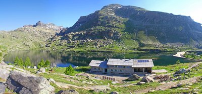
15. GTM - Stage 15 : Refuge des Merveilles - Camp d'Argent
1 point of interest

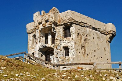
Le fort de la Redoute à l'Authion, (2080 m), à la Pointe des Trois Communes. - Franck GUIGO  History and historical trail
Redoute des Trois Communes
La Redoute des Trois Communes is a French fort which was built in 1898, in the Authion mountain chain under the command of Général Séré de Rivières.
In the 1870s, relations between France and Italy were conflictual. When the Comté de Nice became part of France (24th March 1860), it made Authion even more important as it had become a border chain, the keystone of defending the Maritime Alps. Huge fortification works began to make any possibility of the Italians breaking through impossible. Access to the chain was facilitated by several strategic roads being opened, leading to La Redoute des Trois Communes (1898) and to the forts of La Forca (1883-1890) and Mille Fourches (1883-1890).
Description
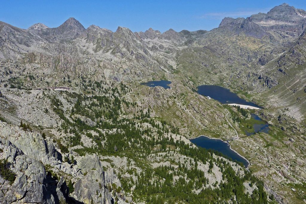
From the refuge (m92), head upwards via GR52 towards Lac Fourca, which you will head around via the right bank, then continue, passing between the Lac du Trem and the left bank of Lac de la Muta. Continue towards the west towards the smaller Lacs du Diable (m404) which can dry up during the summer months; do not take the path towards Pas du Trem and and La Cime du Diable and you will quickly reach Le Pas du Diable (m405 - 2436m).
Head downhill on the southern slope, above some splendid moraines, before crossing the valley below Le Capelet Supérieur and reaching the path along the rock face of La Baisse Cavaline. Go west around La Cime de Raus and the Vésubie slopes to reach Col de Raus (m406 - 1999m), from where you can reach Belvédère en Vésubie or Fontan dans la Roya.
Continue the descent towards Baisse de St Véran (m409 - 1836m) via the eastern flank of Cime de Tuor. Head uphill along the western slopes of Crête de l’Ortiguier until you reach the Pointe des 3 Communes (m410), the highlight of this stage thanks to its magnificent panoramic views.
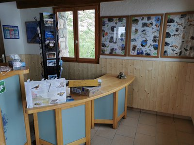
Continue to the west along the horizontal ridge which overlooks the former barracks, running perpendicular to the Authion road circuit before heading downhill along Baisse de Tueis (m244 - 1888m), an information point for the Mercantour National Park in summer. Walk along the D68 for few hundred metres before going slightly uphill then following the Alpine ski slopes downhill and ending up at Camp d’Argent, a small family winter sports station.
Depending on the hotel reservations you have made, you can continue the walk until you reach Col de Turini via a shortcut below the level of the road (m31 and m30).- Departure : Les Merveilles refuge
- Arrival : Camp d'Argent
- Towns crossed : Tende, Saorge, Belvédère, La Bollène-Vésubie, Breil-sur-Roya, and Moulinet
Altimetric profile
Recommandations
Report a problem or an error
If you have found an error on this page or if you have noticed any problems during your hike, please report them to us here:


