3. A balcony into the Mediterranean - Franco Italian Tour of Mont Gramando - Stage 3
Description
From Sospel 350m (marker 105), take the old road for Col de Castillon (D.2566). Cross the railway tracks and, just after the first hairpin, take the small road towards Fontan on the left (marker106).
This road rapidly becomes a track; follow it before turning right onto the GR (marker 106a) which cuts across it before joining it further up. On the first right-hand hairpin bend, follow the track which heads off to rejoin the path (GR) which rises up the flank (m.107) before coming out on the ridge (fountain - marker107a). A climb through a wooded area allows you to reach Col du Razet (1032m - marker17); continue along the flank (GR52), to reach Colla Bassa (1107m - marker16) and turn right onto the track which heads downhill towards the south. Do not forget to make a return trip to the summit of Mont Gramondo 1378m.
Take the path which heads south. Further down, take a right fork onto a path (GR) to reach the place known as Mourga (marker 15). Head past the ruined building on the right, cross the slope and join a track (marker 14) which you will need to follow downhill and to the right in order to pick up the path which heads away to the left (GR52) marker 13. The final climb begins (marker 12) up to the tall pine trees under the passage of the Col du Berceau (1090m). The descent along the south-eastern slope is steep, stony and technically difficult. The slope becomes gentler as you reach the forest (716m), at an intersection of paths (marker 11) at Plan du Lion (marker 10), turn right onto the path with GR51 markers to reach the Saint Sébastien chapel and Castellar.
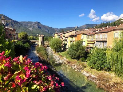
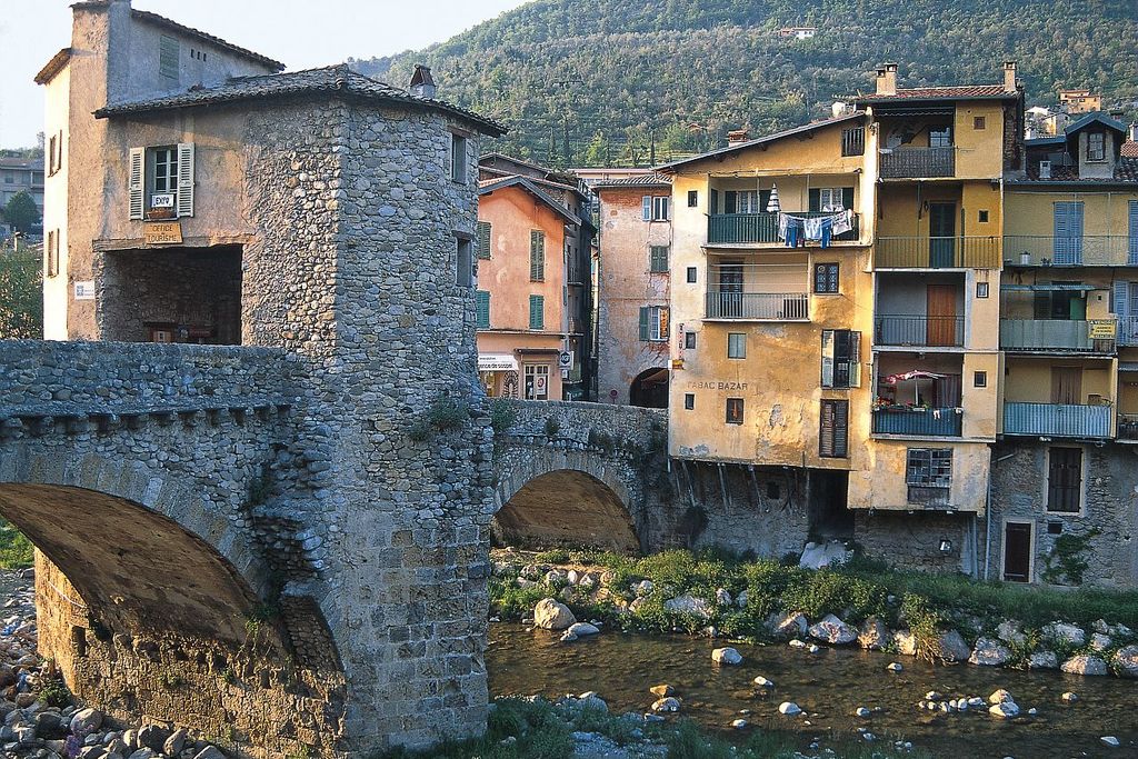
- Departure : Sospel
- Arrival : Castellar
- Towns crossed : Sospel
Altimetric profile
Report a problem or an error
If you have found an error on this page or if you have noticed any problems during your hike, please report them to us here: