On the mineral trail - Tour of the Marguareis Nature Park
4 steps

6 points of interest
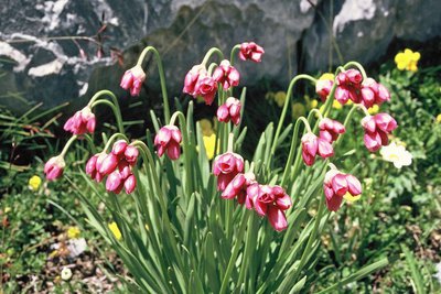
La stazione botanica Burnat Bicknell - Roberto Pockaj  Flora
FloraThe Burnat Bicknell Botanical Station
The site covers over 10,000 square meters, and is named after Emile Burnat and Clarence Bicknell. Burnat, a Swiss botanist, was the author of the important work 'Flores des Alpes Maritimes'; Bicknell, an English botanist active in Valle Pesio for about thirty years, he was also the first to catalogue the rock engravings of Monte Bego.
About 500 plant species typical of the Ligurian Alps are collected in the two botanical stations, offering a unique opportunity for both enthusiasts and casual visitors. Illustrative panels describe the various environments and the botanical species are easily recognizable thanks to the scientific name on the labels.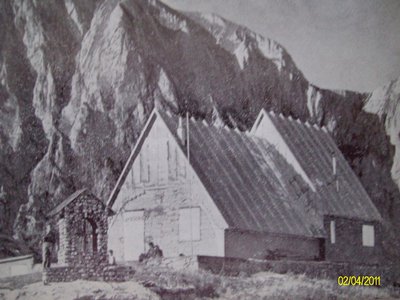
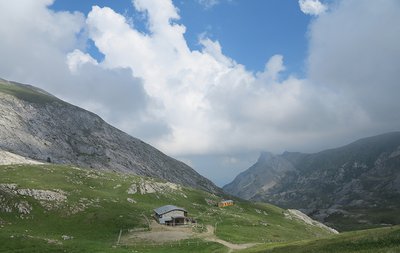
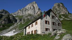
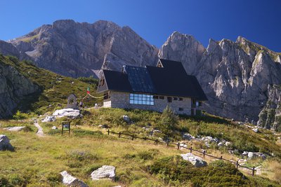
Il vecchio Rifugio Garelli - CAI Mondovì  History and historical trail
Pier Mario Garelli
The refuge was dedicated to Pier Mario Garelli when it was built. He was known to all as Piero, a lawyer and climbing partner of Sandro Comino. President of the CAI of Mondovì, immediately after the armistice he joined the Resistance, with the III Alpine Division operating in Val Casotto. He was arrested in Mondovì, and initially locked up in Turin. On May 25, 1944 he was transferred to the concentration camp at Fossoli, then to Bolzano and finally to the concentration camp at Mauthausen. He died in the subcamp of Gusen, just before the end of hostilities.
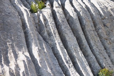
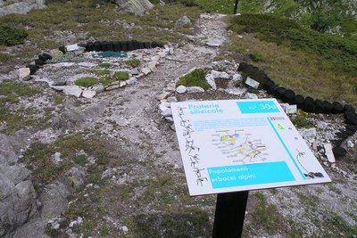
Fenomeni erosivi su rocce calcaree - Roberto Pockaj  Geology
The furrowed fields
The 'furrowed fields' (also called 'carried fields' due to the shapes that vaguely recall the furrows left by the wheels of carts in the mud) are erosion phenomena typical of limestone rocks, due to the runoff of rainwater.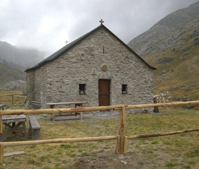
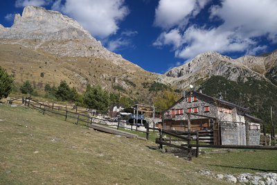
La Cappella-Rifugio di Sant'Erim - Archivio EAM  Architecture
The Chapel of Sant'Erim and the Selle Refuge in Carnino
The Chapel of Sant'Erim (Chapel of Sant'Elmo) was built following the saint's apparitions here to groups of shepherds. Tradition has it that a mass was celebrated here every year on the day the cattle went up to the mountain pastures.
The Rifugio Selle di Carnino was built from a shepherds hut by the Ligurian Section of the CAI . It was used until the Second World War when it was seriously
damaged and definitively abandoned.
[A. Parodi, R. Pockaj, A. Costa - Nel cuore delle Alpi Liguri, collana Sentieri e Rifugi, Andrea Parodi Editore, 2012, p.42]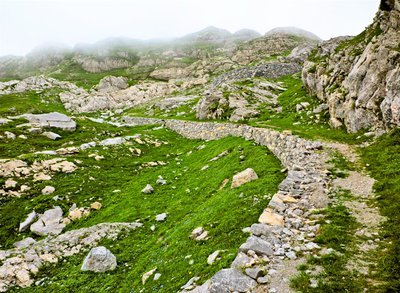
Un tratto della strada ex militare 194 - Archivio EAM History and historical trailThe invasion road
The former military road 194 (also known as the Invasion Road) should have connected the Certosa di Pesio with the Colle della Boaria. Begun
in 1940, as a matter of urgency, work was interrupted in September 1941, with several sections still unfinished.
It was considered of dubious strategic utility by some, indeed it could have facilitated a possible invasion by the French, by others it was considered a road built with the aim of opening an Italian attack route towards France.
[Le strade dei cannoni, pp.219-224]
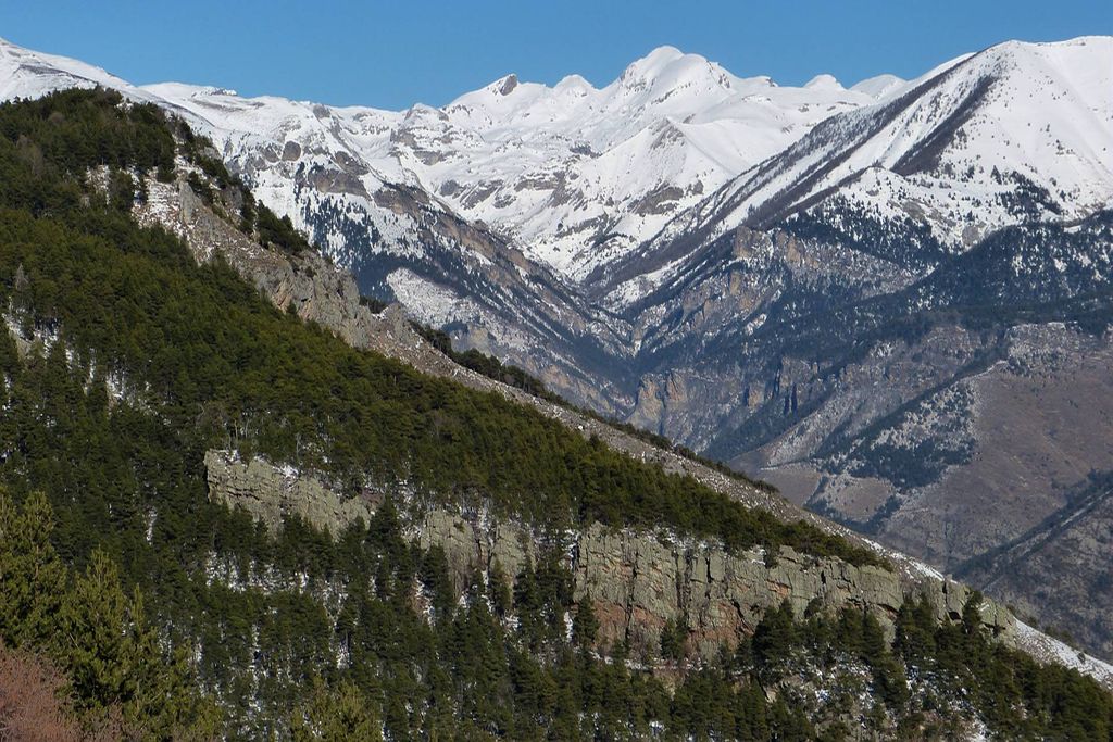
La Conca delle Carsene - Archivio EAM GeologyLa Conca delle Cársene
The Conca delle Càrsene is a vast plateau consisting of limestone rocks, characterized by expanses of bare, white rocks alternating with grassy cover.
It manifests the typical aspects of karst areas with limestone pavement, dolines and sinkholes. A superficial hydrographic network is completely missing: rain and snow meltwater are immediately absorbed and give rise to the resurgence of Pis del Pesio, located several hundred metres below.
Curiously, there are also areas located beyond the Alpine watershed, such as Plan Ambreuge, that are part of the catchment area, so water falling south of the Alps, after an underground journey, flow out on the Italian side.[Alpi Liguri, p.80]
[La Guida del Parco Alta Valle Pesio e Tanaro, pp.46-47]
Altimetric profile
Recommandations
Access and parking
Parking :
Report a problem or an error
If you have found an error on this page or if you have noticed any problems during your hike, please report them to us here: