On the mineral trail - Tour of the Marguareis Nature Park - Stage 2

2. On the mineral trail - Tour of the Marguareis Nature Park - Stage 2
Hard
5h
10,7km
+727m
-950m
Walking breaks
Embed this item to access it offline
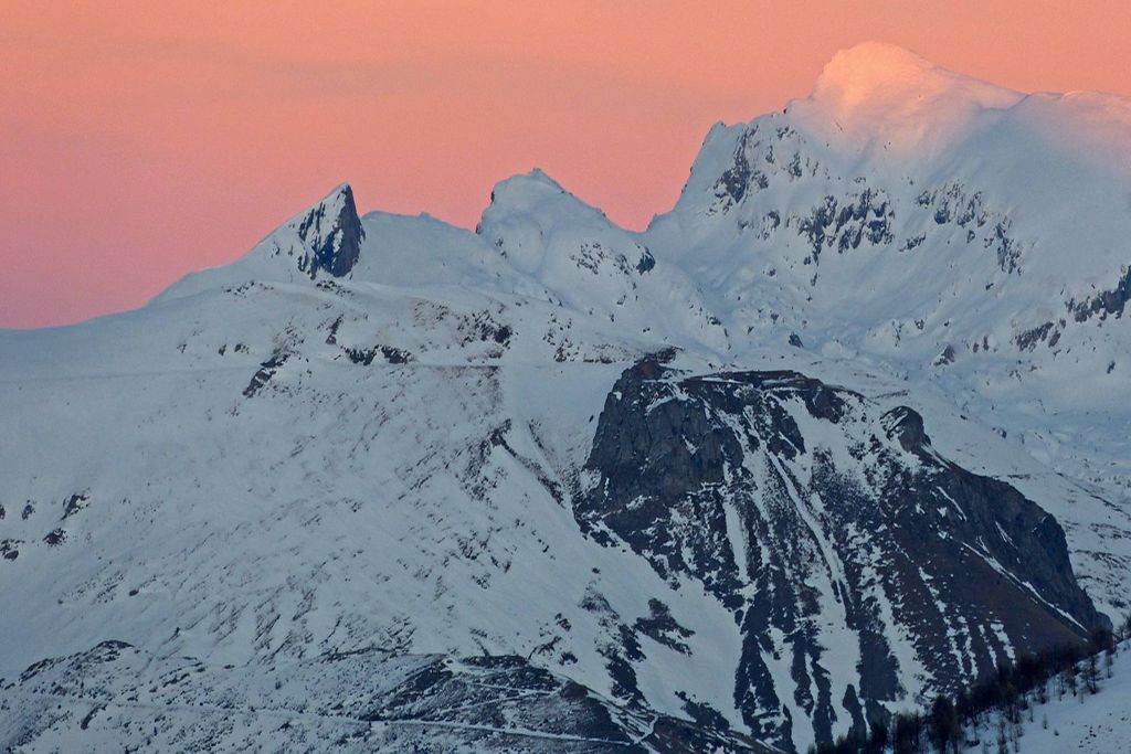
Route that runs mainly between pastures and alpine meadows. Evident traces of karst phenomena, from erosion due to runoff water to dolines and sinkholes. The final part crosses a beautiful pine grove and the Pian Rosso pastures.
Description
From the Havis De Giorgio-Mondovì refuge, head up the Ellero valley until you reach the Gias Gruppetti Alpine pasture (1890m). From there, take the path which heads off to the right and leads to Passo delle Saline (2174m). Then head downhill along a steep slope which, after a gias, becomes very narrow and, having gone past the Ciarli-Bossi refuge, at the next fork in the path take the left fork. After around half an hour’s climbing, you will reach Colla di Carnino (1597m), with a bird’s eye view over the high Tanaro valley, the Venes and Pian Rosso. From there, continue along a path halfway up the hill and, on a Tibetan bridge, you will go past Grotta delle Vene, one of the many points of interest along the itinerary. Two information boards, sheltered by a balsam fir, will tell you about the region’s karst features. Shortly after, take the path on the left which climbs towards Pian Rosso to reach the Mongioie refuge (1555m).
- Departure : Havis de Giorgio-Mondovi refuge
- Arrival : Mongioie refuge
- Towns crossed : Briga Alta and Ormea
Altimetric profile
Report a problem or an error
If you have found an error on this page or if you have noticed any problems during your hike, please report them to us here:
Close by2
- Mountain Hut
Mountain Hut
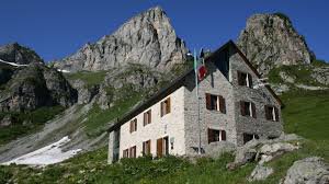
Rifugio Havis De Giorgio - Mondovì
The Mondovì Refuge is an oasis of peace at over 1700 meters above sea level, a magical place where spectacular nature envelops you in wonders.
Come and visit us, Mariolino's cuisine awaits you, with its legendary blueberry tarts, fondues, mountain pasture raschera... as many as 61 beds can also accommodate large companies! - Mountain Hut
Mountain Hut
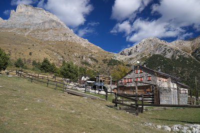
Rifugio Mongioie
Located on the large plateau (Pian Rosso) above the town of Viozene, the Mongioie refuge is the ideal starting point for excursions at high altitude.
The Mongioie massif (2630m) slopes down towards the refuge with spectacular limestone formations up to 350m high where you can climb beautiful rock.
In addition, there are many activities related to the mountain accompanied by typical and seasonal cuisine.


