4. On the mineral trail - Tour of the Marguareis Nature Park - Stage 4
2 points of interest
Un tratto della strada ex militare 194 - Archivio EAM  History and historical trail
The invasion road
The former military road 194 (also known as the Invasion Road) should have connected the Certosa di Pesio with the Colle della Boaria. Begun
in 1940, as a matter of urgency, work was interrupted in September 1941, with several sections still unfinished.
It was considered of dubious strategic utility by some, indeed it could have facilitated a possible invasion by the French, by others it was considered a road built with the aim of opening an Italian attack route towards France.
[Le strade dei cannoni, pp.219-224]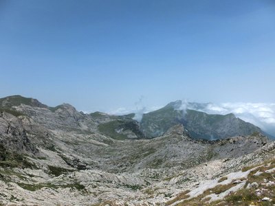
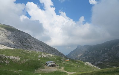
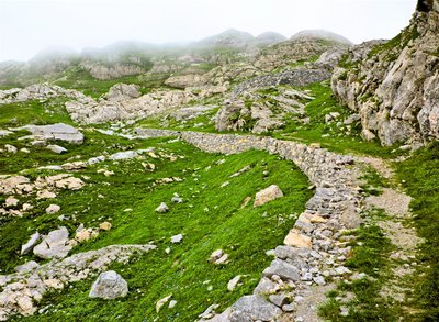
La Conca delle Carsene - Archivio EAM  Geology
La Conca delle Cársene
The Conca delle Càrsene is a vast plateau consisting of limestone rocks, characterized by expanses of bare, white rocks alternating with grassy cover.
It manifests the typical aspects of karst areas with limestone pavement, dolines and sinkholes. A superficial hydrographic network is completely missing: rain and snow meltwater are immediately absorbed and give rise to the resurgence of Pis del Pesio, located several hundred metres below.
Curiously, there are also areas located beyond the Alpine watershed, such as Plan Ambreuge, that are part of the catchment area, so water falling south of the Alps, after an underground journey, flow out on the Italian side.[Alpi Liguri, p.80]
[La Guida del Parco Alta Valle Pesio e Tanaro, pp.46-47]
Description
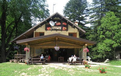
- Departure : Don Barbera refuge
- Arrival : Plan de Gorre refuge
- Towns crossed : Briga Alta, La Brigue, and Chiusa di Pesio
Altimetric profile
Report a problem or an error
If you have found an error on this page or if you have noticed any problems during your hike, please report them to us here: