3. Mercantour - Alpes Maritimes - Around Mont Ténibre - Stage 3
Description
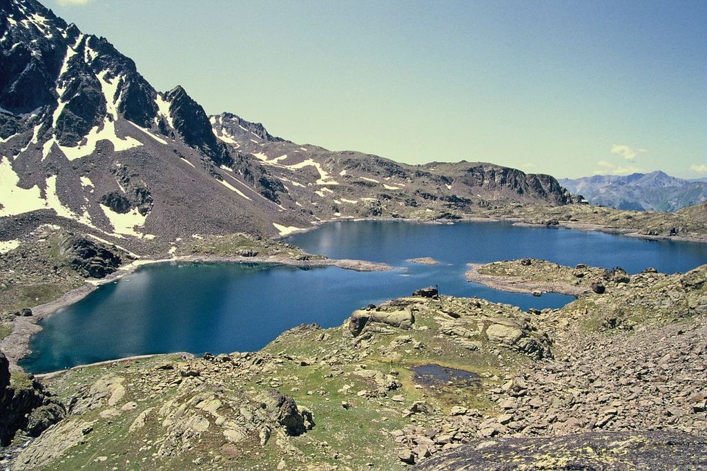
From the Rabuons refuge (2523m - m.105a) head south-east on the path which reaches the shores of Lac de Rabuons (2500m). Ford the water between the big lake and a smaller one and continue along the path which rises along the firsts slopes of La Cime de la Valette (Croix - 2701m).
Go downhill for a short way on the southern slopes via a scree below La Tête de Jassine. Over a few steep hairpin bends, you will reach La Crête de Jassine (2700m). The path goes around this obstacle, reaching a large curve where it turns and heads towards the valley of La Clapière.
Cross a vast scree and you will reach the forest of La Crête de Chabraire (2400m - m.105b) which is topped by a magnificent cairn of matching stones. Continue downhill towards the sources of the Bourguet valley (2250m). Go around it along the mountain’s edge, where nets made of metal have been installed to hold back possible avalanches heading down to the Tinée.
Reach the flatter section, notable for La Crosetta with its cairn, locally known as Montjoye and start along a gentle downhill section which leads quickly to the intersection with the path from Douans, leading to Pas de Barbacane (2180m - m.105c). Continue towards the east and go over La Crête de la Tête Cimon, then go up the steep slope of La Pointe Costa Plana until you reach the wide flatter section of Le Lagarot de Douans (2200m - m.127).
Continue along the path which leads to Pas de Colle-Logue (south-east), head successively over two spurs on the southern slopes, head over a scree and continue at the same level along a good path. This will lead you to Le Pas de Colle-Longue (2533 - m.59, you can take shelter in the former military huts if required).
Go downhill on the Italian side via a path which reaches the spillway of the big lake of Colle-Longue. Follow the former military track and pass close to the military barracks. You will soon reach Lac di Mezzo de San-Bernolfo followed by the lake of San-Bernolfo and its left bank.
From the lake, go uphill for a few metres along the track, passing close to a hunters’ cabin and head over onto the northern slopes to reach the Alexandris Foches refuge (1913m). Continue downhill along the track to reach then end of the stage at San Bernolfo 1663m.
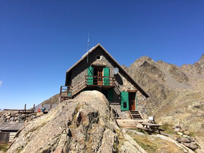
- Departure : Rabuons refuge
- Arrival : San Bernolfo refuge
- Towns crossed : Saint-Étienne-de-Tinée, Isola, and Vinadio
Altimetric profile
Report a problem or an error
If you have found an error on this page or if you have noticed any problems during your hike, please report them to us here:
Close by1
- Mountain Hut