Il Pizzo d'Ormea
1 point of interest

Aquila reale - Giordano Michelangelo  Fauna
FaunaThe golden eagle
Few hikers who frequent the mountain have seen it or think they have seen it. Many rejoiced, because the eagle is one of the emblems of our Alps and has filled countless stories, sagas and legends. Today, after forty years of protection, it is possible to observe it in every Alpine valley, while it circles high intent on guarding its territory. Finally, few have been able to see it while hunting, as it flies over the slopes at a very low altitude, ready to surprise its prey.
Description
Take the paved road that climbs to the right beside the church of Chionea. Beyond the houses, turn right onto a mule track, the first part is concrete, then paved, it brings you to the Colla di Chionea (1223 m, 0:20 mins from Chionea).
At the pass there is a crossroads: take the first path on the left, which leads through sparse shrubs and outcropping rocks to a sunny watershed.
The ascent, always close to the ridge of the Costa Valcaira, is quite tiring. Once you reach a flat grassy area with a drinking trough, leave the dirt track
and you find the trail signs at the end of the plateau, on the right.
Alternating between the north and south side of the ridge, at an altitude of about 1880 m ignore a track that crosses the path, then, after another
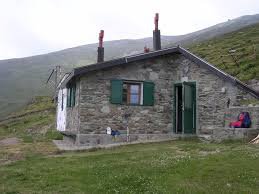
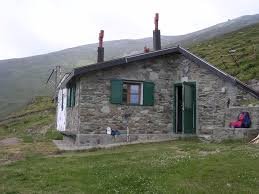
steep slope, turn left onto a path that cuts across the slope to the Valcaira Refuge (about 1990 m, 2:25 hours from the Colla di Chionea).
From the refuge, head north/north-east, returning to the ridge where, at the helicopter landing pad, you re-encounter the path to the summit abandoned just below.
Follow it to the left, climbing a steep slope covered with rhododendrons; leave the path to the lake and the Colla del Pizzo on the right and to first
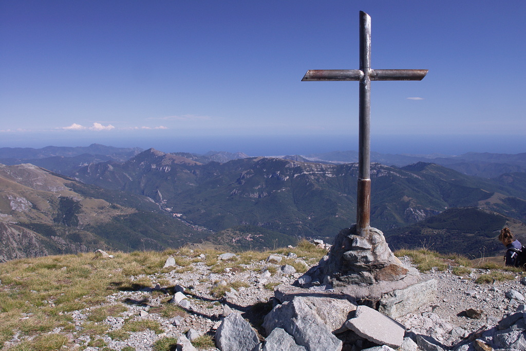
reach the summit 2365 m, then the saddle to the east of Pizzo d'Ormea (mast). Zig-zag up the steep incline that leads down from the summit, and
using your hands pass some easy rocks. The path (a little exposed) then forks: going left you reach the summit of Pizzo d'Ormea (2476 m, 1:40
hours from Rifugio Valcaira).
- Departure : Chionea (1154 m)
- Arrival : Pizzo d'Ormea (2480 m)
- Towns crossed : Ormea
Altimetric profile
Access and parking
Report a problem or an error
If you have found an error on this page or if you have noticed any problems during your hike, please report them to us here: