
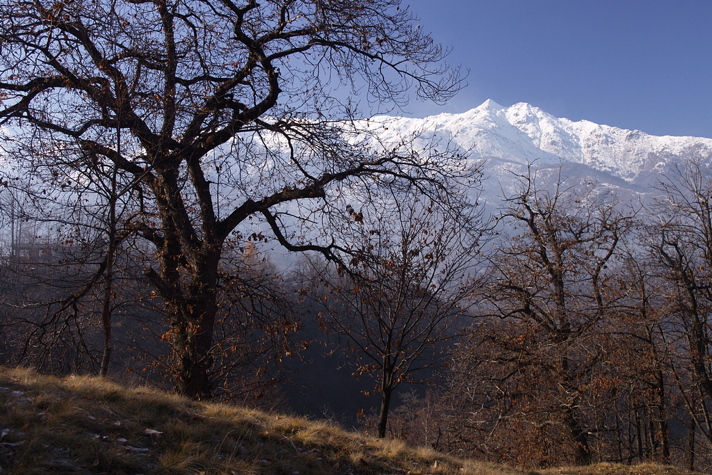
Il giro delle borgate
A curious circuit starting and ending at the Cappella dell'Olocco. It passes a number of hamlets and farms, some still used in the summer, many others now in ruins, all bearing witness to a time when the mountains were densely populated.
Description
At the Cappella dell'Olocco (985 m) take the mule-track downhill to the south, on the Valle Pesio side of the hill, cross two streams to reach the village of Tetti Fuggin (917 m, 0:20 mins from the Cappella dell'Olocco, drinking fountain).
Follow the dirt road leading to the village down, and then take the path on the left that leads to Tetti Nonetta.
Passing opposite the abandoned houses, descend the Vallone Porcherott until you reach a dirt road. Here you go to the right, and a little later turn left onto the path to Tetti Mauri. The path passes through the ruins of Tetti Biroe, then pushes through a narrow gully to come out not far from Tetti Castel.
At Tetti Castel ignore the path on the left toTetti Baudinet and walk down along a dirt track; shortly, you come into another, broader track that you follow left to Tetti Rumanin.
Beyond the hamlet, a mule track crosses a meadow slope and on the left meets a second path for Tetti Baudinet. From this point it is still worthwhile going up to Tetti Mauri (903 m, 0:35 mins from Tetti Fuggin) a few hundred yards away, then retracing your steps to take the path to Tetti Baudinet.
Climb through the woods to Tetti Barril (934 m), where you turn sharp right: ignore the right branch to Tetti Colletto and, at the next fork, turn left. Reaching the wide wooded ridge, head uphill, (fairly steep), to the clearing where Tetti Baudinet stands.
Near the houses (picnic table), cross a dirt track and continue uphill, immediately to the right of the last ruin. The trail climbs the grassy ridge, which is dotted with ash trees, passes at the foot of a huge beech tree, and reaches the Baudinet Refuge (formerly Stalle Baudinet, 1115 m, 0:40 hours from Tetti Mauri).
Above the refuge, the trail enters a dense coppiced beech forest.
You climb steadily along the ridge for some time, then the trail turns sharply left (north), passes a fork to the right leading to Gias Mascarone, and levels off somewhat.
You now traverse the beech forest, ascending and descending along steep slopes, until you reach a small paved road. Follow the road downhill to the left for about 1.5 km, and you’ll return to the Cappella dell’Olocco (985 m, 0:55 hours from Tetti Baudinet).
On this final long stretch, ignore all signs pointing to a mountain bike trail along the sides of the road.
- Departure : Cappella dell'Olocco (985 m)
- Arrival : Cappella dell'Olocco (985 m)
- Towns crossed : Chiusa di Pesio
Altimetric profile
Access and parking
From Chiusa di Pesio go up the Valle Pesio to Vigna, here, turn left onto a narrow road which winds its way up to the Cappella dell'Olocco. There are a few parking spaces available near the small church. During the winter season, the road to the Cappella dell’Olocco may be closed to vehicular traffic by order of the mayor.
Report a problem or an error
If you have found an error on this page or if you have noticed any problems during your hike, please report them to us here: