Il sentiero naturalistico della Certosa di Pesio
1 point of interest
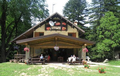
La Certosa di Santa Maria - Roberto Pockaj  History and historical trail
The Charterhouse of Santa Maria
The Certosa di Santa Maria - Founded in 1173, the Certosa di Santa Maria, better known as Certosa di Pesio, was the third built in Italy. Originally very modest, it has grown over the years, undergoing major expansions between the 16th and 17th centuries. The charterhouse, which experienced periods of alternating fortunes, suffered a definitive blow in 1802 with the suppression of the monastic orders by Napoleon, when it was stripped of most of its goods and possessions. In the following years, the many changes of hands saw it also transformed into a hydrotherapy establishment, until, in 1934, the Consolata Missionary Fathers began to oversee its rebirth. Today the Charterhouse is open and can be visited.
Description
From the entrance to the Charterhouse, the Certosa di Pesio (843 m, drinking fountain) continue on the dirt road to the east, turning almost immediately right onto a wooden bridge ("Sentiero Naturalistico"). After a few metres follow the path to the left that runs along the stream then turns south into the mixed wood.
After crossing a logging track, the flat trail runs parallel to the tarmac road below it to the picnic area (fountain).
Next to the fountain, go down to the right, along the River Pesio, past the Fonte Dompè and, at the next junction, go up to the left to return to the tarmac by the Park Rangers' Hut (Casotto di Sorveglianza del Parco) (914 m, 0:30 mins from the Certosa di Pesio) and another picnic area (fountain).
Just above the road now, ignore the junction for Gias del Pari on the left and return to the tarmac road. After a few dozen metres turn right on a forest track that descends to cross the Torrente Pesio on a bridge, near the fishing reserve hut.
Here you take a dirt road to the left, as far as the next fork.
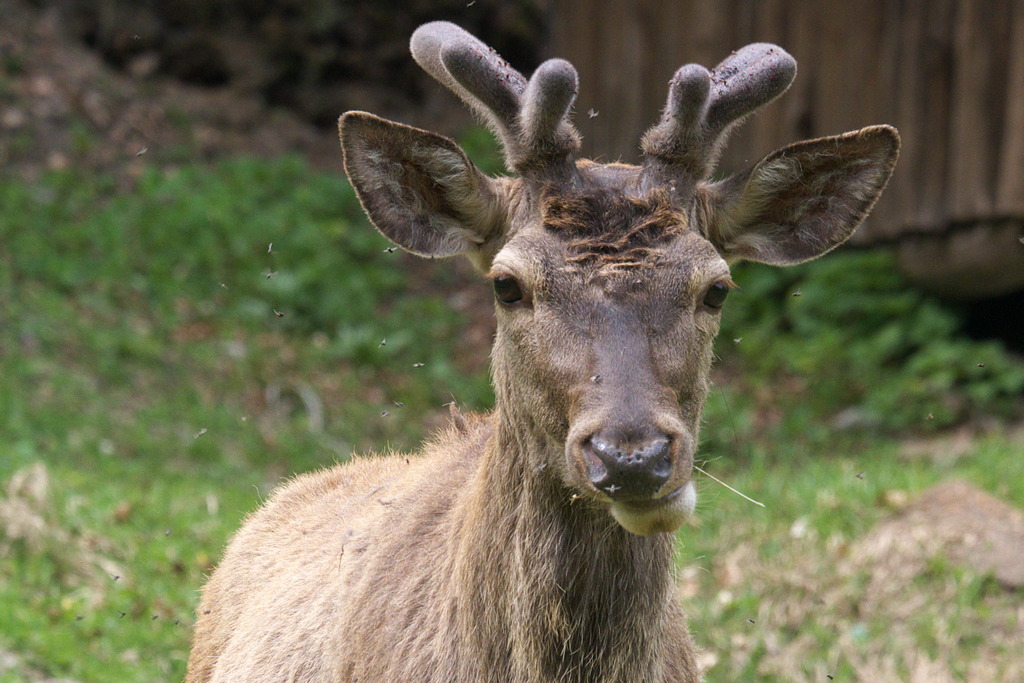
{If you want to go directly to Pian delle Gorre keep left at this junction. If you are visiting the wildlife enclosure you will have to come back to this junction to then carry on to Pian delle Gorre.}Keep right, taking a path that breaks off to the left after a short while. The trail climbs to the side of the stream and arrives at the Canavere wildlife enclosure (1065 m, 0:55 mins from the Rangers' Hut).At the foot of the observation tower take the dirt road that leads down to the junction for Pian delle Gorre.Turn right now, ignore the path on the right for Gias Fontana and go back up to the the Vallone del Saut. Here, an easy flat mule track heads north and soon reaches Pian delle Gorre, were you find the refuge of the same name (1032 m, 0:30 mins from the Canavere wildlife enclosure).{For the return you can follow the surfaced road up to the Charterhouse or go on the left bank of the Torrente Pesio to the fishing reserve hut, then drop down to Villaggio d'Ardua and from there to the Charterhouse.
- Departure : Certosa di Pesio (843 m)
- Arrival : Rifugio Pian delle Gorre (1032 m)
- Towns crossed : Chiusa di Pesio
Altimetric profile
Recommandations
Access and parking
Report a problem or an error
If you have found an error on this page or if you have noticed any problems during your hike, please report them to us here: