
Lower Lake della Valletta
After an initial climb inside cool woods, the surroundings become decidedly alpine; the small lake is formed by glacial moraine deposits, which block off the mouth of the valley.
1 point of interest
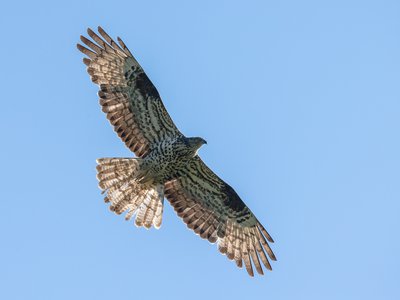
Falco-pecchiaiolo - Giordano Michelangelo  Fauna
FaunaBird migration
Many valleys of the Maritime and Ligurian Alps are the scene, every year, of the migration of tens of thousands of birds which, from Africa to Europe and vice versa, from North to South, move to look for a place to reproduce or to escape the rigors of winter. Many species migrate invisibly to most, but some species of birds of prey gather along the valleys and, taking advantage of the updrafts, move in spring and late summer. Among these, the honey buzzard and the short-toed eagle migrate with very numerous contingents.
Description
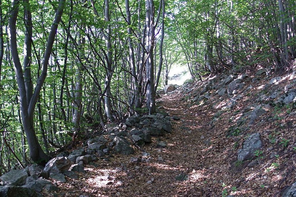
From the Pinet parking lot(1428 m) a Parks Service road winds uphill, arriving at a fork near some ruins: take the left fork, which ends soon after and becomes a footpath, leading slightly upwards across the slope of the Vallone della Valletta, through a forest of deciduous trees mixed with larches. Leaving the sparse ruins of the Forest Launa behind on your right, the slope steepens; the path goes over a small stream and, as the deciduous tree are replaced by larches and red spruces, the panorama becomes quite alpine.
After a brief descent, the forest trail begins to climb again, crosses a stream, and passes Ciabot Bacias, a mountain pasture near which the grassy vegetation occasionally encroaches on the trail. Once the trail becomes clearly visible again, the (rather rough) path cuts across the broad pasture slopes on the orographic left side of the valley along a long, gently ascending ridgeline, then ends at an elevation of approximately 1820 meters after a brief steep climb. Continue along the trail, which winds upward in a few switchbacks to the broad basin containing the Lago Sottano della Valletta and a former park ranger’s hut (1900 m, 1 hour 40 minutes from Pinet).
If you feel like walking a little further, in just a few hundred meters you can reach the bottom of the wide, flat basin that holds the lake, bringing you closer to a beautiful waterfall.
- Departure : Pinet (1428 m)
- Arrival : Lower Lake della Valletta (1900 m)
- Towns crossed : Aisone
Altimetric profile
Recommandations
Access and parking
From Borgo San Dalmazzo, head up the Stura Valley to Aisone. As soon as you leave the town, turn left downhill to cross the Stura Stream. Take the paved road known as the “ex-military road” (or “Stura right”) and follow it for a few dozen meters toward Cuneo (left), then take the right fork toward Pinet. The road climbs through the woods; it is paved for the first 3 km, then unpaved for another 2.7 km until you reach the village of Pinet. About 300 meters past the few buildings in Pinet, there is an unpaved parking area with space for several cars.
The road is subject to restrictions. To travel along the section of the Valletta valley road leading to Pinet, you must request authorization in advance from the municipality of Aisone by calling +39 0171 95751.
Report a problem or an error
If you have found an error on this page or if you have noticed any problems during your hike, please report them to us here: