1. 3 refuges walk - Stage 1
Description
As you leave the Bayasse refuge, go across Le Bâchelard. At the first hairpin bend, take the path which leads towards Col des Esbéliousses. It heads through a larch forest with undergrowth which is provided with colour thanks to the woodland geraniums, the pink centauries and the darker phyteuma halleri. After the mountain stream and a few hairpin bends, you will reach the Petite Saume forest hut. Contine for 50m behind the house and you will discover, from up on the rocky cliff, the high Bachelard valley.
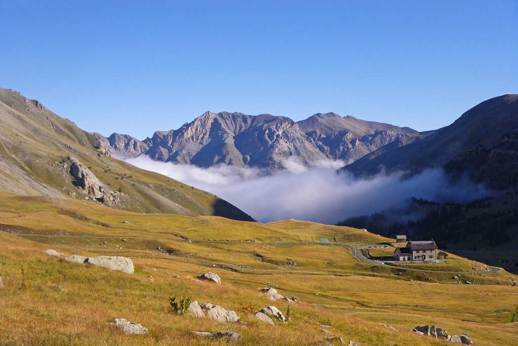
The path continues through the larch trees, tress of light, until you reach a remarkable avalanche zone. The damage on the opposite slope is easily visible. Further up, you will come out into the wide Grande Saume valley. Head alongside the mountain stream which winds its way through the grassy zone, which is a haven for wetland plants. You will come out at Col des Esbéliousses (2498m) where you can admire wild clumps of purple mountain saxifrage (be aware that snow patches can sometimes still be present as late as July). There is a clear view over Le Pelat (3050m) to the right and over Les Aiguilles du Trou de l'Aigle opposite.
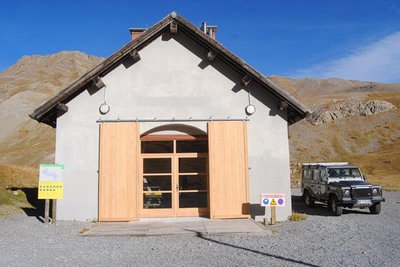
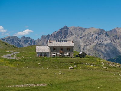
Head down the Grande Cayolle valley until you reach the pastoral cabin of the National Forest Office. Go across the mountain stream, and head upwards, in the shade of the larches towards the Cayolle refuge, which is the endpoint of this first stage. The refuge will only become visible at the last moment, nestle in a natural hollow on the edge of a road, which became famous between the wars.
- Departure : Bayasse refuge
- Arrival : La Cayolle refuge
- Towns crossed : Uvernet-Fours
Altimetric profile
Recommandations
A hike to go on during the summer months due to the fact that snowfall can make the circuit dangerous.
Col de la Cayolle is inaccessible during the winter months.
Make sure that you are aware of the weather forecast before setting out.Information desks
Ubaye Tourisme / Office de tourisme d'Uvernet-Fours (Pra Loup)
Maison du Tourisme, 04400 Pra Loup
Horaires
Saison été• Tous les jours de 9h à 12h30 et de 15h à 18h30
Saison hiver
• Tous les jours de 9h à 19h
Intersaison jusqu'au 5 juillet inclus
• Du lundi au vendredi de 9h à 12h et de 14h à 18h
Fermeture
• Du 27 avril au 5 juin inclus
• Du 21 septembre au 16 octobre inclus
Transport
Access and parking
From Barcelonette, head towards Col de la Cayolle, Nice(D902).
From Nice, head towards Digne (N202), then Col de la Cayolle via Guillaumes (D2202).Parking :
More information
Report a problem or an error
If you have found an error on this page or if you have noticed any problems during your hike, please report them to us here: