Pas du Diable
2 points of interest
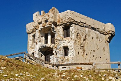
Le fort de la Redoute à l'Authion, (2080 m), à la Pointe des Trois Communes. - Franck GUIGO  History and historical trail
Redoute des Trois Communes
La Redoute des Trois Communes is a French fort which was built in 1898, in the Authion mountain chain under the command of Général Séré de Rivières.
In the 1870s, relations between France and Italy were conflictual. When the Comté de Nice became part of France (24th March 1860), it made Authion even more important as it had become a border chain, the keystone of defending the Maritime Alps. Huge fortification works began to make any possibility of the Italians breaking through impossible. Access to the chain was facilitated by several strategic roads being opened, leading to La Redoute des Trois Communes (1898) and to the forts of La Forca (1883-1890) and Mille Fourches (1883-1890).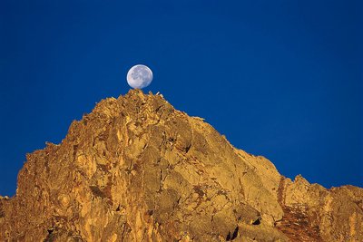
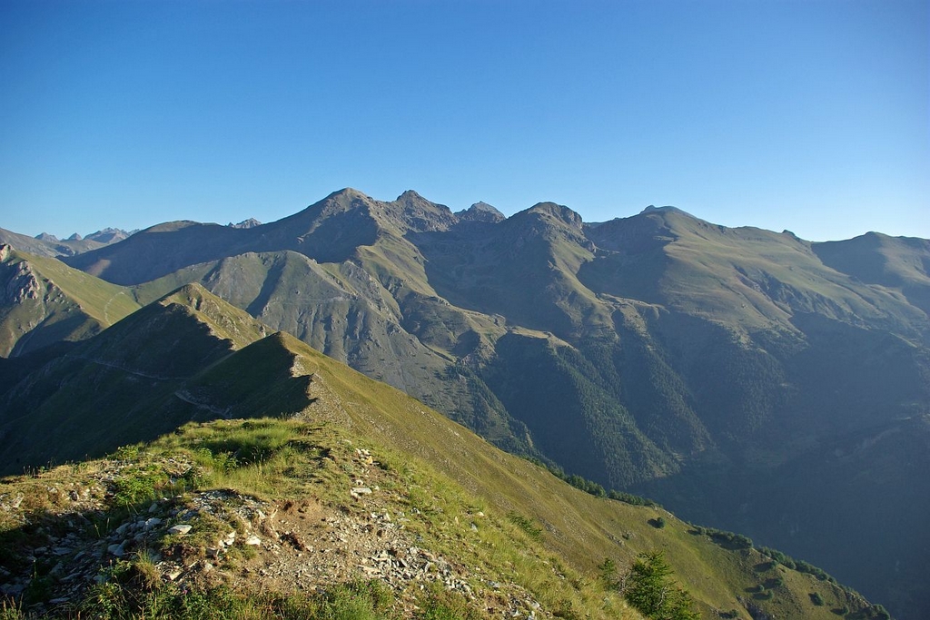
Lever de lune sur la cime du Diable depuis la vallée des Merveilles - Gilbert ROSSI  Peak
PeakCime du Diable
Due to its isolated position on the southern border of the Mercantour National Park, Cime du Diable, which rises to an altitude of 2685m, can easily be seen, despite its altitude, from the Mediterranean, with only 40km lying between it and the Côte d’Azur. It watches over the Cirque des Merveilles. Its evocative name recalls the way that high mountains were viewed in the past as being in some way cursed. Le Pas du Diable, located on the slopes of the cime of the same name, provides the link, thanks to GR52, between Vallée des Merveilles and the site of L'Authion.
Description
From the carpark at the hut at Tueis, follow marker 244 towards La Pointe des Trois Communes, where you will join the GR52 (marker B410).
Turn left and follow the route of the GR, which goes over the Baisse de St Véran (marker 409), the Col de Raus (marker 406), the Baisse Cavaline and finally the Pas du Diable (marker 405).
Follow the same route for the return journey.
- Departure : Cabane de Tuéis, Moulinet
- Arrival : Pas du Diable
- Towns crossed : La Bollène-Vésubie, Moulinet, Breil-sur-Roya, Saorge, Belvédère, and Tende
Altimetric profile
Recommandations
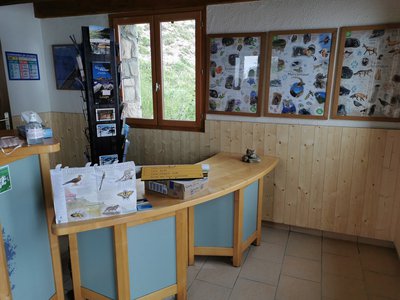
Information desks
Office de Tourisme Menton, Riviera & Merveilles - Bureau de Sospel
1 place St Pierre, 06380 Sospel
Horaires
Toute l'année. Tous les jours
Ouverture le lundi de 9h à 12h30 et de 13h30 à 17h. Le mardi, mercredi, jeudi, vendredi et samedi de 9h30 à 12h30 et de 13h à 17h.
Fermé le dimanche.
Fermetures exceptionnelles les 1er janvier, Lundi de Pâques, Jeudi de l'Ascension, 1er mai, 8 mai, 1er novembre, 11 novembre et 25 décembre.
Office de Tourisme Métropolitain - Bureau d'information de la Bollène-Vésubie
Place du Général de Gaulle, 06450 La Bollène Vésubie
Horaires
Du 01/01 au 31/12, tous les lundis, mardis, mercredis, jeudis et vendredis de 9h à 17h.Fermetures exceptionnelles les 1er janvier, Lundi de Pâques, Jeudi de l'Ascension, Lundi de Pentecôte, 1er mai, 8 mai, 14 juillet, 15 août, 1er novembre, 11 novembre et 25 décembre.
De 9h00 à 12h00 et de 13h00 à 17h00.
Access and parking
Go to the Col de Turini, head for Authion and leave your vehicle at the carpark near to the Mercantour National Park information point, at the hut at Tueis.
Parking :
Report a problem or an error
If you have found an error on this page or if you have noticed any problems during your hike, please report them to us here: