La Colla Rossa
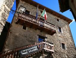
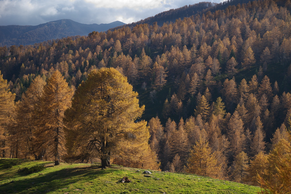
The route begins in Upega, a small “Tibetan” village in the Ligurian Alps that’s well worth a visit. Then, for most of the ascent, you’ll pass through the marvelous Bosco delle Navette, a larch forest that offers magical views in every season—views that become unforgettable in the second half of October, when the forest turns golden. Finally, you can enjoy a sweeping panorama from Colla Rossa, a broad, grassy saddle that owes its name to the distinctive color of the rocks that outcrop there.
Description
The trail begins on the left side of the provincial road, for those coming from Viozene, near the end of the village of Upega (1297 m). A grassy trail (marked with posts) climbs steeply, then levels off and continues through the larch forest among old terraces until it rejoins the provincial road at a hairpin turn. On the opposite side of the road, take the small path that passes the chapel on the right.
After passing a fountain, you cross two streams and continue along a mule trail that makes a wide left turn. The trail traverses uphill, makes two hairpin turns, and resumes the traverse, which is now steeper and has an uneven surface.
At a marked fork, leave the mule track leading to Colle delle Selle Vecchie and take a trail to the left. The ascent alternates between steeper and gentler sections; then, pass another fork to the right leading to Colle delle Selle Vecchie.
Upon reaching a small clearing, pass the junction for Pian Formigola on the left and continue straight ahead: the trail leads onto the ridge through a dense larch forest and climbs steeply, emerging in front of the wide clearing known as Case dei Cacciatori. Go around the private property to the right, following the fence until you reach the dirt track on the opposite side of the clearing.
Follow the cart track until it joins the wider dirt road connecting Colle di Tenda with Monesi, near the area known as Poggio del Lagone (1897 m, 2:00 hours from Upega; there is a picturesque little lake nearby).
Cross the road and head up the trail, which follows the straight ridge for quite a while. The larch forest thins out, and when the trail turns left, you leave the woods behind for good. You’ll pass near a ruin, then climb through the pastures, following the trail markers along an indistinct path to the now-nearby Colla Rossa (2172 m, 0:45 hours from Poggio del Lagone).
- Departure : Upega (1280 m)
- Arrival : Colla Rossa (2172 m)
- Towns crossed : Briga Alta and La Brigue
Altimetric profile
Access and parking
From Ceva, drive up the Tanaro Valley to Ponte di Nava, where you take the right fork toward Viozene. After passing through Viozene, continue on to Upega. Plenty of parking available.
Report a problem or an error
If you have found an error on this page or if you have noticed any problems during your hike, please report them to us here: