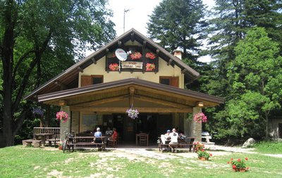
1. Giro del Marguareis, stage 01: from Rifugio Pian delle Gorre to Rifugio Garelli
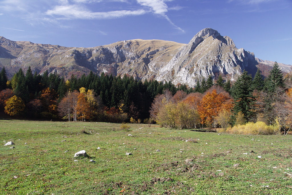
Traverse from Vallone di Serpentera to Vallone di Sestrera, with a number of interesting features, from silver fir woods to the shepherds' hut and the views of the north wall of Marguareis.
1 point of interest
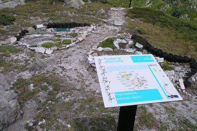
La stazione botanica Burnat Bicknell - Roberto Pockaj  Flora
FloraThe Burnat Bicknell Botanical Station
The site covers over 10,000 square meters, and is named after Emile Burnat and Clarence Bicknell. Burnat, a Swiss botanist, was the author of the important work 'Flores des Alpes Maritimes'; Bicknell, an English botanist active in Valle Pesio for about thirty years, he was also the first to catalogue the rock engravings of Monte Bego.
About 500 plant species typical of the Ligurian Alps are collected in the two botanical stations, offering a unique opportunity for both enthusiasts and casual visitors. Illustrative panels describe the various environments and the botanical species are easily recognizable thanks to the scientific name on the labels.
Description
From Pian delle Gorre (1032 m), where you find the refuge of the same name, take the unsurfaced road (closed to vehicles) which enters the woods of Vallone del Saut heading south-east. Carry on until you take the path to the left signposted Pian del Creus.
The path climbs steeply through the woods into the Vallone di Serpentera and up to the clearing at Pian del Creus (1279 m, 0.45 mins from Pian delle Gorre).
Ignore the junction to the right for Gias sottano di Sestrera and go straight on for the Gias Madonna, crossing the clearing by the stream.
After passing the torrent on a bridge, hairpin bends take you up a steep ridge in the woods. You come out of the woods right at the foot of a meadow, which climbs up to the summit, and Gias Madonna (1652 m, 1:10 hrs from Pian del Creus).
Continue to the right for Gias soprano di Sestrera, descending from the meadow. The path enters the woods again and you drop down to Comba Comune valley. Here you ford some streams then regain the lost altitude with a steep traverse with steps to cross the steep slope. After a long traverse (ignoring the turning to the left for the Giaset) you reach the Gias della Costa.
Traverse uphill, passing the wide watershed that separates the Vallone di Serpentera from the Vallone di Sestrera to reach the wide grazing plain at Gias soprano di Sestrera (1847 m, 1:25 hrs from Gias Madonna).
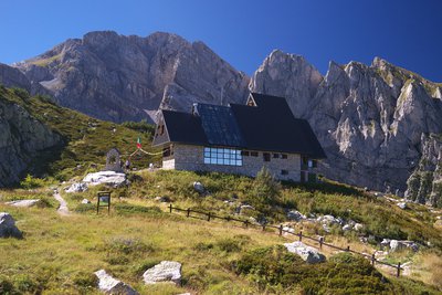
Here you join the route coming from Pian delle Gorre and turn left, climbing the last hundred metres in height to Rifugio Garelli (1966 m, 0:20 hours from Gias soprano di Sestrera).
- Departure : Rifugio Pian delle Gorre (1032 m)
- Arrival : Rifugio Garelli (1966 m)
- Towns crossed : Chiusa di Pesio
Altimetric profile
Recommandations
Transport
https://www.savgroup.it/linee/43.pdf
SNCF line TER Provence Alpes-Côte d'Azur For travel in the PACA region and towards Cuneo www.ter-sncf.com/pac
Trenitalia for travel in the Piedmont region https://www.trenitalia.com/it.html
Access and parking
From Chiusa di Pesio climb the Pesio Valley up to the Certosa, from here follow the narrow tarmac road to Pian delle Gorre. Paid parking in summer.
Parking :
Report a problem or an error
If you have found an error on this page or if you have noticed any problems during your hike, please report them to us here: