The Pian del Creus Loop Trail
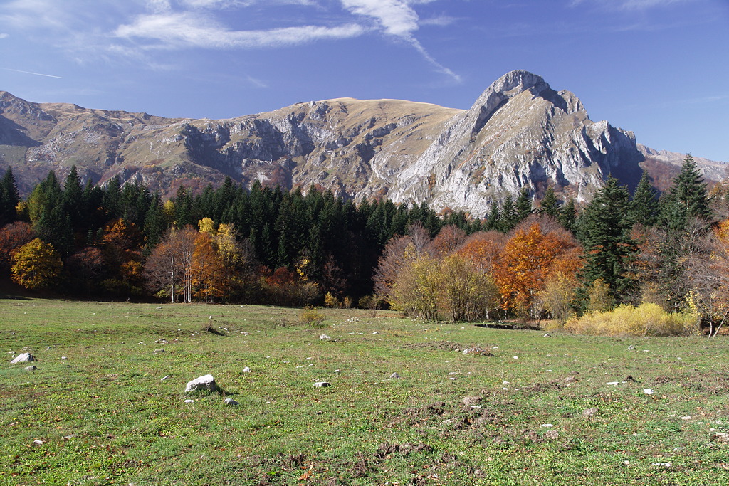
Rarely visited along the stretch connecting Pian del Creus to the Sestrera Sottano Mountain Hut, this short and pleasant loop trail allows you to immerse yourself in the natural beauty of Marguareis Park: expanses of silver fir, sometimes in pure stands and sometimes mixed with beech, and small herds of shy roe deer that will reveal themselves only to those who know how to move on tiptoe.
Description
From Pian delle Gorre (1032 m, where you’ll find the Pian delle Gorre Mountain Hut and an excellent spring), take the dirt road—closed to traffic—that leads into the Vallone del Saut valley in a southeasterly direction, through a mixed forest of deciduous trees and silver firs.
Pass the first trail (unmarked and not very obvious) on the left leading to Pian del Creus, then cross a stone bridge next to a roaring little waterfall; ignore a dirt track on the right and finally take the marked trail on the left leading to Pian del Creus and Gias Madonna.
The trail, what remains of a wide mule track, enters the Serpentera Valley, climbing fairly steeply in tight switchbacks through a beautiful forest. When the trail finally levels out, you have reached the vicinity of Pian del Creus. Follow a short flat stretch until you reach the stream flowing down the Serpentera Valley, and you’ll immediately find yourself at the edge of the wide clearing of Pian del Creus (1279 m, 0:50 hours from Pian delle Gorre).
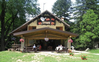
At the entrance to the plateau, leave the trail to Gias Madonna behind you and keep to the right along the edge of the wide clearing, heading toward the clearly visible Villa Soche Mountain Hut—which is privately owned—and which you’ll reach by walking across meadows without a defined path.
Directly in front of the refuge’s entrance, a trail begins (marked on tree trunks) that climbs fairly steeply through a forest of silver fir and beech. Shortly afterward, the trail levels off and continues along the hillside with some ups and downs. A downhill section then leads to the mule trail coming from Pian delle Gorre.
Taking a brief detour, follow the mule trail to the left, and after a few hundred meters you’ll reach the unstaffed Sestrera Sottano Mountain Hut (formerly Gias Sottano di Sestrera, 1341 m, 0:35 hours from Pian del Creus, water fountain).
Returning to the last fork, keep left onto the mule trail that leads back to Pian delle Gorre. The mule trail descends fairly steeply with numerous switchbacks through a cool forest of silver fir and a few broadleaf trees until it reaches the dirt road taken at the start of the route: follow it downhill to return to Pian delle Gorre (1032 m, 0:45 hours from the Sestrera Sottano Mountain Hut).
- Departure : Pian delle Gorre (1032 m)
- Arrival : Pian delle Gorre (1032 m)
- Towns crossed : Chiusa di Pesio
Altimetric profile
Recommandations
Access and parking
From Chiusa di Pesio, head up the Pesio Valley to the Certosa, and from there continue along the narrow paved road that leads to Pian delle Gorre. In the summer, parking is subject to a fee, and the road to Pian delle Gorre may be gradually closed off as far as the Certosa as the parking lots fill up.
Report a problem or an error
If you have found an error on this page or if you have noticed any problems during your hike, please report them to us here: