The Colletto della Lausa loop
The narrow Gorge della Reina is undeniably charming; while caution is advised when visiting, it is best explored in the fall, when the snow that accumulates there has completely melted and temperatures along the trail are not sweltering. Also worth noting is the very pleasant descent through the coniferous forest from Colletto della Lausa.
3 points of interest

La Reino Jano - gianluca.giordano  History and historical trail
La Réino Jano
The toponym of the Gorge della Reina refers to Queen Giovanna d'Angiò, who ascended the throne of the Kingdom of Naples in 1343 on the death of her uncle Roberto, at the age of only 16. Her life, decidedly adventurous but not excessively lucky, brought her only sporadically
to take refuge in search of rest and tranquility in the lands of the Cuneo area; however, this was enough to make her enter into myths and legends with the decidedly more popular name of "Rèino Jano".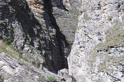
L'ingresso delle Gorge della Reina - R  Geology
Le Gorge della Reina
Tradition has it that Queen Giovanna (the Reino Jano, hence the toponym of the gorges) refused to marry the son of the King of France. The latter, angry at her refusal, moved to meet her with her army. The Queen then took refuge in Roaschia, awaiting the events. The troops of the son of the King of France, who lined up on the top of the mountain to gain a dominant position before launching the attack, were however plunged by divine wrath into the abyss of the gorges, which opened up below them.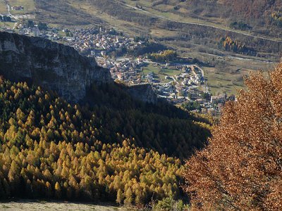
Rimboschimento di abeti alla Lausa - Cati Caballo  Flora
FloraThe reforestation
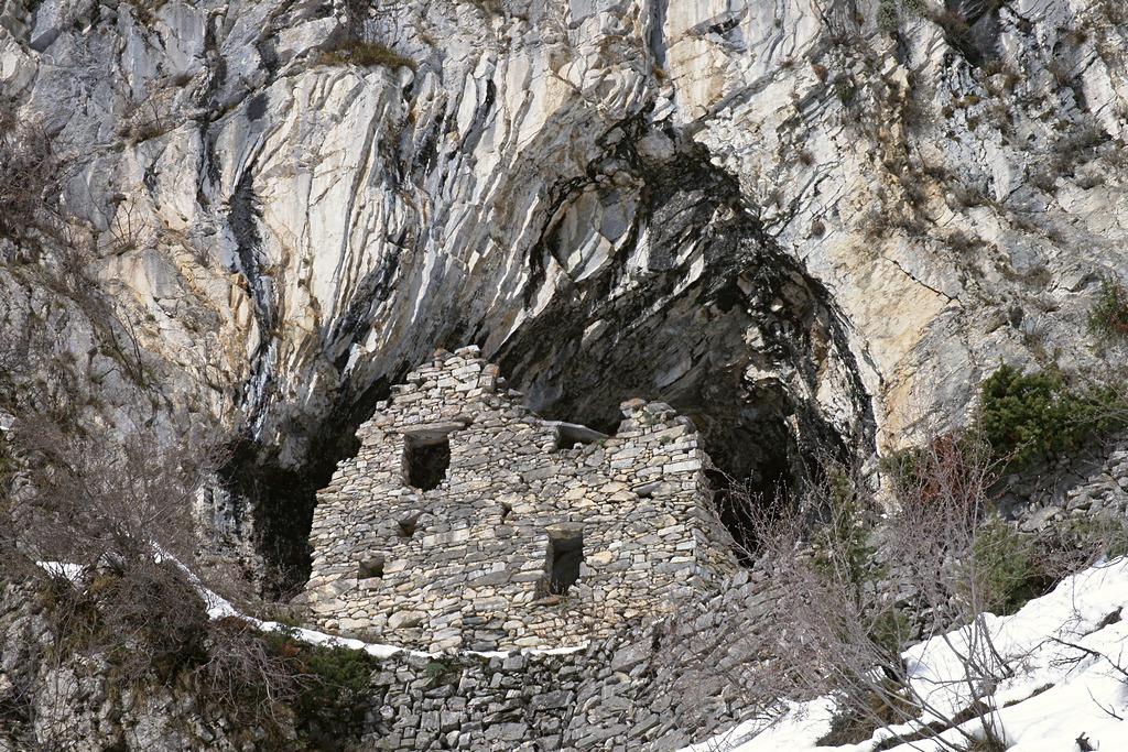
Reforestations are artificial forest populations, deriving from the planting of woody species in more or less extensive open spaces. Most of these plants are traced back to a period ranging from the thirties to the seventies. The building species are almost always the spruce and larch, which grow rather rapidly. Today interventions of this kind have lost all the interest of the past as the advance of the forest to the detriment of open environments is a "new" reality to be reckoned with.
Description
Across from the Church of Sant’Antonio in Entracque (922 m), about fifty meters away, take Strada Spianta on the right—a narrow paved road that quickly turns into a mule trail and winds upward through the woods. After a short climb, the trail cuts across the hillside and crosses the Rio Costabella over a small stone bridge.
Continue along a gently sloping path through the woods until you cross a stream via a wooden bridge. After a short climb, you’ll reach a dirt track: follow it to the right for a quick detour to the charming hamlet of Tetti Violin (1042 m, 0:30 hours from Entracque, water fountain).
Retrace your steps to the last junction, then keep to the right until the next fork, where you take a wide mule trail to the right.
The mule trail climbs through the woods and ends by splitting into two paths: keep to the left, enter a small beech grove, and emerge at the foot of imposing limestone cliffs.
Turning left, you cross a stream and continue climbing. After a few meters, a trail branches off to the right and ascends: following it takes you on a second detour that leads to the entrance of the narrow, deep Gorge della Reina (1190 m, 0:35 hours from Tetti Violin).
Following the trail toward Entracque, you descend through the Costabella Valley, passing a few switchbacks in a beautiful mixed deciduous forest. After a long downhill traverse, a couple of turns lead to a clearing. Here, ignore a fork to the left and keep to the right. A few meters further downstream, you’ll find a mule trail; follow it to the left, alongside the Rio Costabella, until you return to the small stone bridge you crossed during the ascent.
Turn right, following the beautiful trail that descends gently along the hillside through the woods, passes a small watershed, and begins to climb again. After passing a second small valley, on more open terrain, a steeper climb with a few wide switchbacks leads to Colletto della Lausa (approx. 1305 m, 0:30 hours from Tetti Stramondin).
At the pass, ignore the trail on the right leading to Passo di Costabella, and keep to the left instead. The very easy trail descends in tight switchbacks through a dense forest of larch and fir trees. The switchbacks then become wider; the trail crosses the bed of a small stream, turns south, and emerges from the woods. The trail turns into a grassy mule track and stretches out behind the houses of Entracque.
With one final hairpin turn, the mule trail joins a dirt track, which you follow to the left. After a few meters, you reach a small paved road, Via Caduti in Guerra, which you follow downhill to Corso Francia, where you turn left and climb back up to the Church of Sant’Antonio (922 m, 0:55 hours from Colletto della Lausa).
- Departure : Entracque, Chapel of St. Anthony (922 m)
- Arrival : Entracque, Chapel of St. Anthony (922 m)
- Towns crossed : Entracque
Altimetric profile
Access and parking
From Borgo San Dalmazzo, head up the Gesso Valley. After passing Valdieri, turn left toward Entracque. At the entrance to Entracque, follow the signs to the left for Trinità, which will take you to the Chapel of St. Anthony. Parking is available for a few cars.
Report a problem or an error
If you have found an error on this page or if you have noticed any problems during your hike, please report them to us here:
Close by1
- Accommodation
Accommodation
Campeggio Il bosco
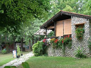
The small campsite is located in a quiet and panoramic position about 2 km from the center of Entracque. Il Bosco has 50 grass pitches (23 occupied by permanent guests) and provides toilets and showers with free hot water, bar service. The campsite is the ideal place to stop for access to the via ferrata, mtb routes and walks.