The Regina Elena Refuge
Description
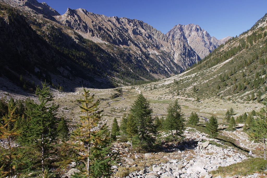
Starting from Pian della Casa (1735 m), the route leads along an ex military road, passing by the turnoff for the Remondino Refuge on the left. When the road ends (there is a bar blocking vehicles beyond that point), the road becomes a wide, grassy mule track; after a few dozen meters, the route leaves the mule track, turning off to the right on the trail that leads to the Regina Elena Refuge.
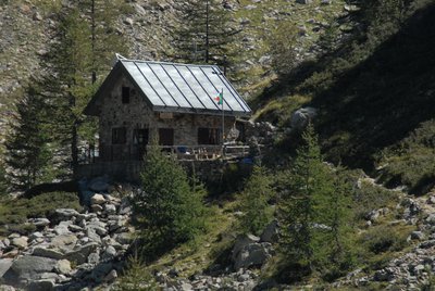
The trail winds along the various branches of the Gesso della Valletta torrent, crossing over two of them on wooden footbridges before veering slightly westward and then turning abruptly to the south. Passing by a trail on the left, the route surmounts a modest ridge, among rocks and the occasional larch, and then joins a flat narrow trail. Following this to the left, in a few meters the route terminates at the Regina Elena Refuge (1833 m, 25 minutes from Pian della Casa).
- Departure : Pian della Casa (1735 m)
- Arrival : Regina Elena Refuge (1833 m)
- Towns crossed : Valdieri
Altimetric profile
Recommandations
Access and parking
Report a problem or an error
If you have found an error on this page or if you have noticed any problems during your hike, please report them to us here:
Close by1
- Mountain Hut
Mountain Hut
Rifugio Regina Elena
The Regina Elena Refuge, located in the Alpi Marittime Natural Park at 1,850 meters above sea level, equipped with 14 beds with use of the kitchen, operates in the summer period thanks to the voluntary work of the Members of the National Alpine Association - Genoa section.

