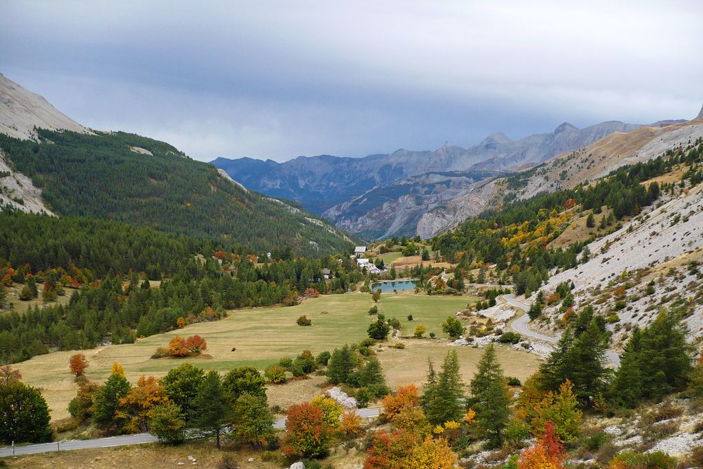
Tour of the Estenc plateau
3 points of interest

Refuge de la Cantonnière - Refuge de la Cantonnière  Refuge
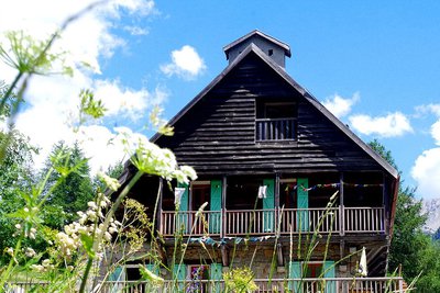
La Cantonnière refuge
The history of the refuge is closely linked with the Route des Grandes Alpes connecting Lac Léman with the Mediterranean. It was built in the early 20th century by the French Touring Club with the very rudimentary means of the period by Italian workers, for whom the imposing Cantionnière house was built.
Accessible in summer 1913 to the few automobiles which were around at the time, the road was to be inaugurated by President Poincaré in August 1914. But the declaration of war deprived the people of Entraunes of this visit.
The building today serves as a refuge and has been fully renovated by Mercantour National Park.
Capacity: 36 in dormitories of 2, 4, 5 and 18.
Prices and opening periods: http://lacantonniere.wixsite.com/refugelacantonniere
Tel: 04.93.05.51.36
E-Mail: lacantonniere@gmail.com
Portion de prairie fleurie - Marc EVENOT  Pastoralism
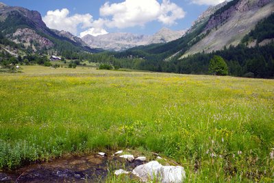
Estenc plateau hay meadows
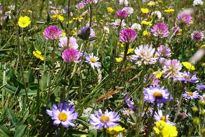
The term “hay meadows” means areas of production of fodder which was not deliberately planted and which are rich in variety of species. The hay is harvested to feed animals. These meadows are part of the non-intensive and environmentally friendly practices and they encourage a wide variety of plants to grow.
Mercantour National Park has 1000ha of hay meadows, included in a pastoral and grassland domain covering around 120000ha. Within this, 90 professional farms are based in the Park’s communes and 268 transhumant farmers are present in summer.
Le Var prend source au pied du Pré de fauche de Pra Long - Laurent MARTIN DHERMONT  Geology
The souce of the Var
It is on the Estenc plateau at 1790m altitude that the source of the appears. Of course, this is not the biggest spring on the slope nor is it the highest but it is said that it is the only one never to have dried up.
The Var is a coastal river whose 114km course ends in the Mediterranean between Nice and Saint-Laurent-du-Var.
Description
From La Cantonnière refuge, head down the road for 50m until you reach marker 41. Follow the path which is bordered by fields, whose rich grass is still used for agriculture, until you reach the small artificial lake.
A short return trip of a few minutes to the right will allow you to discover the source of the Var river.
Continue on the left, following a path which heads upwards alongside the Sanguinière brook. After having crossed the latter via a footbridge, you will enter a pretty larch forest.
At the crossroads, turn left where you will cross three small bridges and continue heading alongside the Sanguinière brook.
At the intersection of the paths, turn right and head upwards until you reach a light clearing which is dotted with rocks. You will then need turn left to follow the hairpins of the path with yellow markers.
At marker 282, continue on the left on a path which runs alongside a canal then cross a wide footbridge when you reach marker 281.
Turn left onto the road and go back down to the refuge.
- Departure : La Cantonnière refuge
- Arrival : La Cantonnière refuge
- Towns crossed : Entraunes
Altimetric profile
Information desks
Point d'Information Touristique Entraunes
La Mairie, 06470 Entraunes
Access and parking
La Cantonnière refuge is located 800m after you leave the hamlet of Estenc, at the roadside on your left (6km prior to Col de la Cayolle).
The refuge can be accessed all year by car. In the winter, it represents the end of the D2202 as the snow is not cleared from the road any further than this point.Parking :
Accessibility
Refuge de La Cantonnière - Estenc - 06470 Entraunes
Tel.: 00 33 (0)4 93 05 51 36
alexgoirand@hotmail.fr
http://www.refuge-cantonniere.fr/fr/
- Emergency number :
- 114
Report a problem or an error
If you have found an error on this page or if you have noticed any problems during your hike, please report them to us here:
