
Mount Alpet and the Navonera Mountain Hut
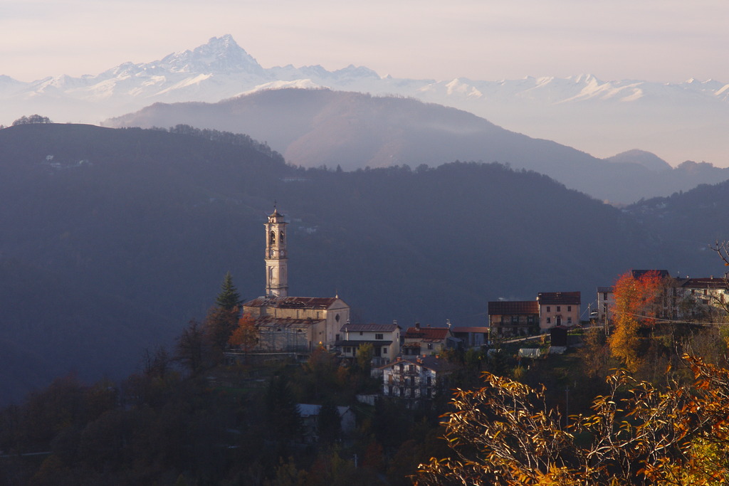
This is the perfect fall hike, offering sweeping views both during the ascent and from the summit of Monte Alpet. The clearing where both the Navonera - Generale Simonetti Mountain Hut and the Chapel of the Madonna delle Nevi - a sort of miniature sanctuary - are located is also very pleasant and sunny. Then come beech forests, chestnut groves, pastures now rarely used, and scattered ruins bearing witness to how densely populated the slopes of Monte Alpet once were.
Description
From Pra di Roburent (1016 m), follow the paved road that climbs uphill from the village until it joins a dirt road halfway up the hillside. Turn left and continue for about 500 meters, then turn right onto the dirt road that climbs through the chestnut grove along a long, gently sloping traverse. Once out of the woods, you gain elevation through a few switchbacks until you reach Case Rosa.
When the dirt track forks, take the left fork. The road climbs in switchbacks, branches off to the right, and then turns north-northwest.
After a long stretch along the hillside through pastureland, you’ll join the wider dirt road coming from Vernagli and turn right. Immediately, on the right, you’ll come to the Pilone di San Bernardo (1373 m, 1 hour 25 minutes from Pra di Roburent), which offers an exceptionally panoramic view of the Alps and the plain.
Alternating between open stretches and sections through beech forests, the dirt road climbs up the Serra del Pilone, a broad ridge located northwest of Monte Alpet. At an elevation of about 1520, on a spur of this long ridge, you’ll come to a three-way intersection: continue straight ahead on a dirt service road leading to the San Giacomo di Roburent ski lifts.
The road continues along the ridge, then gradually turns south and ends at the chairlift’s top station.
The summit of Monte Alpet (1610 m, 0:50 hours from Pilone di San Bernardo) is just a few dozen meters away across the meadows.
A narrow trail descends from the summit toward the south, keeping to the left of the ridge (toward the Casotto Valley) and the beech grove below, then turns sharply to the right, crosses the woods, and emerges on the side facing the Corsaglia Valley. The trail descends to a small pass, where you join the dirt track coming from the distant three-way junction encountered during the ascent. The track ends almost immediately, and you continue southward on a wide mules’ trail halfway up the hillside.
Back on a logging trail (with recent signs of logging clearly visible), the long traverse leads near the summit of Bric del Lago, which you skirt to the right. A subsequent fairly steep descent through the beech forest finally leads to the Navonera - Generale Simonetti Mountain Hut (1432 m, 0:35 hours from Monte Alpet).
Colla della Navonera (1422 m) is located about 200 meters southeast of the mountain hut and can be reached by following the flat dirt road to the left, which crosses the wide grassy slopes of this sun-drenched clearing. On the pass, there is a vacation home belonging to a religious order and the Cappella della Madonna delle Nevi della Navonera (often referred to simply as Pilone della Navonera, 1421 m, 0:05 hours from the Navonera Mountain Hut).
- Departure : Pra di Roburent (1016 m)
- Arrival : Cappella della Madonna delle Nevi della Navonera (1421 m)
- Towns crossed : Roburent
Altimetric profile
Access and parking
From Torre Mondovì, drive up the Corsaglia Valley past the hamlet of Corsaglia, where you’ll find the turnoff to the left for Pra di Roburent. There is parking for several cars before entering the hamlet.
Report a problem or an error
If you have found an error on this page or if you have noticed any problems during your hike, please report them to us here: