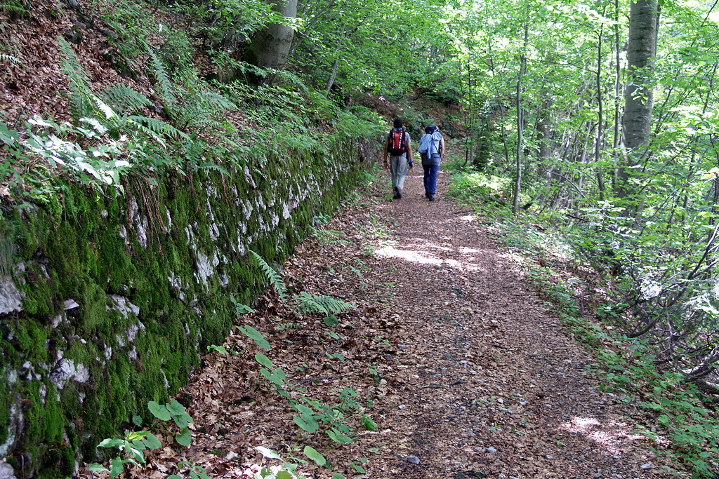
This route winds along the “invasion road,” an old military road that was perhaps
intended to open a route of invasion into France but remained unfinished. It takes you through much of the typical landscape of Marguareis Park: from fir forests to beech forests, all the way to the foothills of the Marguareis limestone cliffs. There are excellent views in the higher-altitude section of the route.
2 points of interest
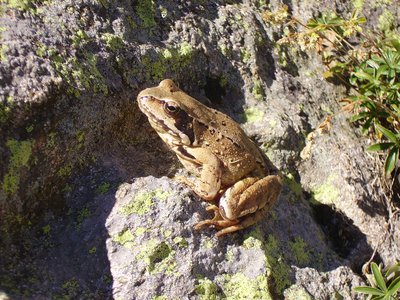
Rana temporaria - Graziano Pala  Fauna
FaunaThe amphibians
Small, helpless and often discreet, amphibians have known our land for hundreds of millions of years, even before the more famous dinosaurs populated the continents and oceans. Even today their biology has something surprising, halfway between a fish and a reptile, they inhabit very humid areas but know how to adapt to very dry environments. There are few species in the Park, some spread over large territories, others very localized: the salamander, the common frog, the toad, the rare geotriton.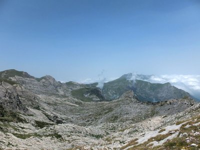
La Conca delle Carsene - Archivio EAM  Geology
La Conca delle Cársene
The Conca delle Càrsene is a vast plateau consisting of limestone rocks, characterized by expanses of bare, white rocks alternating with grassy cover.
It manifests the typical aspects of karst areas with limestone pavement, dolines and sinkholes. A superficial hydrographic network is completely missing: rain and snow meltwater are immediately absorbed and give rise to the resurgence of Pis del Pesio, located several hundred metres below.
Curiously, there are also areas located beyond the Alpine watershed, such as Plan Ambreuge, that are part of the catchment area, so water falling south of the Alps, after an underground journey, flow out on the Italian side.[Alpi Liguri, p.80]
[La Guida del Parco Alta Valle Pesio e Tanaro, pp.46-47]
Description
From Pian delle Gorre (1032 m), take the dirt road, closed to traffic, that leads into the Vallone del Saut, heading southeast through a mixed forest. Pass the turnoff for Pian del Creus on your left and continue straight ahead to the area known as “Il Saut,” where the road ends at a small clearing.
Here, ignore the trail to the Garelli Mountain Hut on the left and continue forward on a wide mule trail, crossing the Saut Stream via two consecutive wooden bridges.
Beyond the stream, the mule trail slowly gains elevation through the woods, skirting the very long ridge that descends from Testa del Duca: when you reach the fork to the right for Gias Fontana, which you ignore, Gias degli Arpi (1435 m, 1 hour 20 minutes from Pian delle Gorre, fountain) is now also in sight.
Once past the mountain pasture, the former military trail continues, alternating between long traverses and a few switchbacks.
As you gain elevation, you’ll pass through a more open stretch at the foot of the rocky escarpment of Testa Murtel, briefly re-enter the woods, and finally continue through sparse shrubbery.
A few long switchbacks climb the slope leading to Colle del Prel Sottano. Without reaching the pass, head left up the trail that branches off just outside a switchback on the old military road (which is barely visible in several places here) and head directly toward Colle del Prel Soprano (1926 m, 1 hour 35 minutes from Gias degli Arpi).
At the pass, you’ll find the trail to the Vallone del Marguareis on the left, which you’ll use for the return trip; keeping to the right, however, you’ll ascend to rejoin the old military road, which, after a short stretch to the left, reaches the Passo del Duca (1989 m, 10 minutes from Colle del Prel Soprano).
Retrace your steps back to Colle del Prel soprano, then take the trail (now on the right) that descends into the Vallone del Marguareis with a long diagonal traverse.
The descent, which is quite steep at first, gradually becomes gentler; after passing the fork to the right that cuts directly toward the Garelli Mountain Hut, you reach the bottom of the Marguareis Valley and join the trail coming from the Sestrera Sottano Mountain Hut.
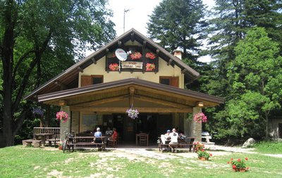
Follow this trail to the left and continue descending through grass and rocky terrain. You’ll enter a beautiful beech forest alongside the stream; cross the stream via a wooden bridge and finally reach the Sestrera Sottano Mountain Hut (formerly Gias Sottano di Sestrera, 1341 m, 1 hour and 5 minutes from Passo del Duca, water fountain).
Ignore the trail to the Garelli Mountain Hut on the right, cross the clearing, and cross a stream via a wooden bridge; immediately after the bridge, ignore the fork to the right leading to Pian del Creus.
Following numerous switchbacks on a moderate slope, you descend through a beautiful fir forest to the area known as “Il Saut,” which you passed on the way up. Here you’ll find the dirt road again; follow it to the right, and it will take you back to Pian delle Gorre (1032 m, 45 minutes from the Sestrera Sottano Mountain Hut).
- Towns crossed : Chiusa di Pesio
Altimetric profile
Access and parking
From Chiusa Pesio, drive up the Pesio Valley to Certosa, and from there continue along the narrow paved road that leads to Pian delle Gorre.
In the summer, the road to Pian delle Gorre may be closed in stages as the paid parking lots fill up.
Report a problem or an error
If you have found an error on this page or if you have noticed any problems during your hike, please report them to us here: