L'anello dei laghi di Palanfrè
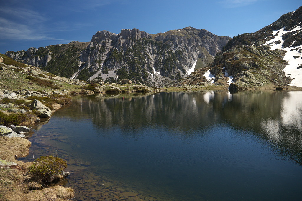
Beech forests in the lower elevations and pastures at higher elevations characterize this route. The two lakes along the way are particularly beautiful; the first lies at the foot of the unmistakable silhouette of Mount Frisson.
1 point of interest
Animali presso il gias - Cati Caballo  Pastoralism
The Gias
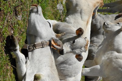
This toponym indicates a delimited area in which the herds or flocks taken to the pastures spend the night and the moments of rumination. The permanence of the animals on these surfaces, sometimes very extensive, involves an accumulation of manure, which, over time, has the effect of selecting the plant species in favor of the only ones capable of surviving in soils very rich in nitrogen, such as nettle , wild spinach and alpine rhubarb, which perpetuate their presence thanks to the continuous deposition on site of a large green mass.
Description
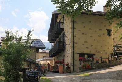
From the Palanfrè parking lot (1352 m), follow the paved road down toward the village. The road turns into a dirt road, and when it curves to the right, continue straight ahead (south) on a mule trail.
The mule trail crosses several streams, reaches Gias Piamian (1432 m, 0:25 hours from Palanfrè, water fountain), and turns into a trail.
When you reach a fork, ignore the old trail that continues straight ahead (risk of landslides) and take the left fork that crosses the dry stream bed.
The trail climbs for a long stretch through the beech forest in switchbacks, then descends again to cross the dry stream bed once more and rejoin the path you left earlier.
Continue to the left until you reach a fork: turn right toward the Laghi del Frisson (you’ll take the left fork on the way back) and reach the grassy hilltop where Gias Vilazzo stands (1823 m, 1:15 hours from Gias Piamian, water fountain).
Turning right (southwest), you climb steeply through meadows, then traverse leftward through grass and small rocks to the Lower Frisson Lake (2,054 m, 0:45 hours from Gias Vilazzo).
A marked trail crosses the lake’s outlet and continues eastward. With several ups and downs, the trail skirts the rocky ridge that separates the Frisson Lakes from Lago degli Alberghi. Upon reaching an elevation of approximately 2085 m, descend through scree, then follow a trail through boulder fields down to Lago degli Alberghi below (2039 m, 0:35 hours from the Lower Frisson Lake).
After crossing the outlet, follow a trail to the left that joins the wider path coming from the Ciotto Mien Pass almost immediately.
The trail gradually descends through meadows, then becomes steeper with several switchbacks through a pine grove, until it reaches the vicinity of Lake Vilazzo. After crossing the outflows of the two lakes, which converge here, the trail returns near Gias Vilazzo, then turns right and descends alongside the stream. After passing a fountain, you return to the fork you encountered on the way there: turn right and, retracing your steps, return to Palanfrè (1352 m, 1 hour 45 minutes from Lago degli Alberghi).
- Departure : Palanfrè (1352 m)
- Arrival : Lago degli Alberghi (2032 m)
- Towns crossed : Vernante
Altimetric profile
Recommandations
Access and parking
From Borgo San Dalmazzo, drive up the Vermenagna Valley to Vernante, where you turn right toward Palanfrè. Continue up the Valle Grande to Palanfrè. There is a large parking lot below the village.
Report a problem or an error
If you have found an error on this page or if you have noticed any problems during your hike, please report them to us here: