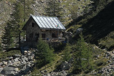
The Regina Elena Refuge
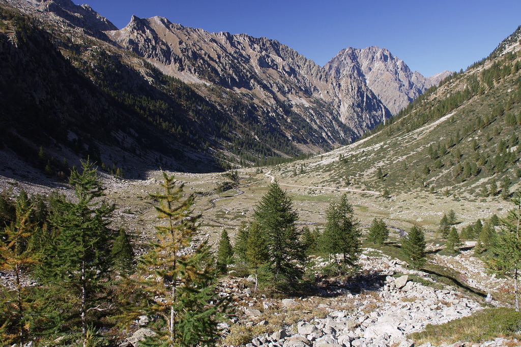
We make our way through debris and low shrubs on the outskirts of Pian della Casa.
Description
From Pian della Casa del Re (1735 m), continue along the former military road until you reach the trail on the left leading to the Remondino Mountain Hut.
After a slight climb, you’ll soon reach another fork; take the right fork toward the Regina Elena Mountain Hut.
A narrow trail descends to cross one of the branches of the Gesso della Valletta Stream via a wooden bridge. After a short traverse to the west, when the trail splits for a short stretch, take the left fork. Hiking southward (to the left), the trail ascends through sparse larch trees and rocky outcrops.
Pass a barely visible trail on the right leading toward the Vallone di Ciriegia, and after heading left for a few meters, you’ll arrive at the Regina Elena Mountain Hut (1833 m, 0:25 hours from Pian della Casa del Re).
- Departure : Pian della Casa (1735 m)
- Arrival : Regina Elena Refuge (1833 m)
- Towns crossed : Valdieri
Altimetric profile
Recommandations
Access and parking
From Borgo San Dalmazzo, head up the Gesso Valley. After passing Valdieri, continue on to Terme. Passing behind the Hotel Royal, turn left up into the Vallone della Valletta until you reach the end of the road (which is unpaved and bumpy in the final stretch) at Pian della Casa. Parking spaces are available along the side of the road.
Those who do not wish to drive the unpaved section from Gias delle Mosche to Pian della Casa del Re—where the trail begins—will have to continue on foot. Head up the Vallone della Valletta, first through larch and fir trees, then through pastures, pine trees, and scattered larch trees; at a slightly steeper section of the ascent, the surface becomes paved again and remains so until you reach a recently renovated mountain pasture, the Gias Nuovo della Casa. Ignoring the short detour to the right that leads to the mountain pasture, stay on the main dirt road until you reach the entrance to Pian della Casa del Re: The journey takes about 35 minutes, with an elevation gain of about 150 meters.
Report a problem or an error
If you have found an error on this page or if you have noticed any problems during your hike, please report them to us here: